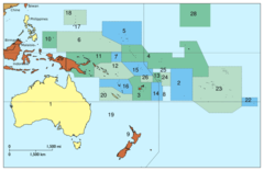
Oceania Political Map
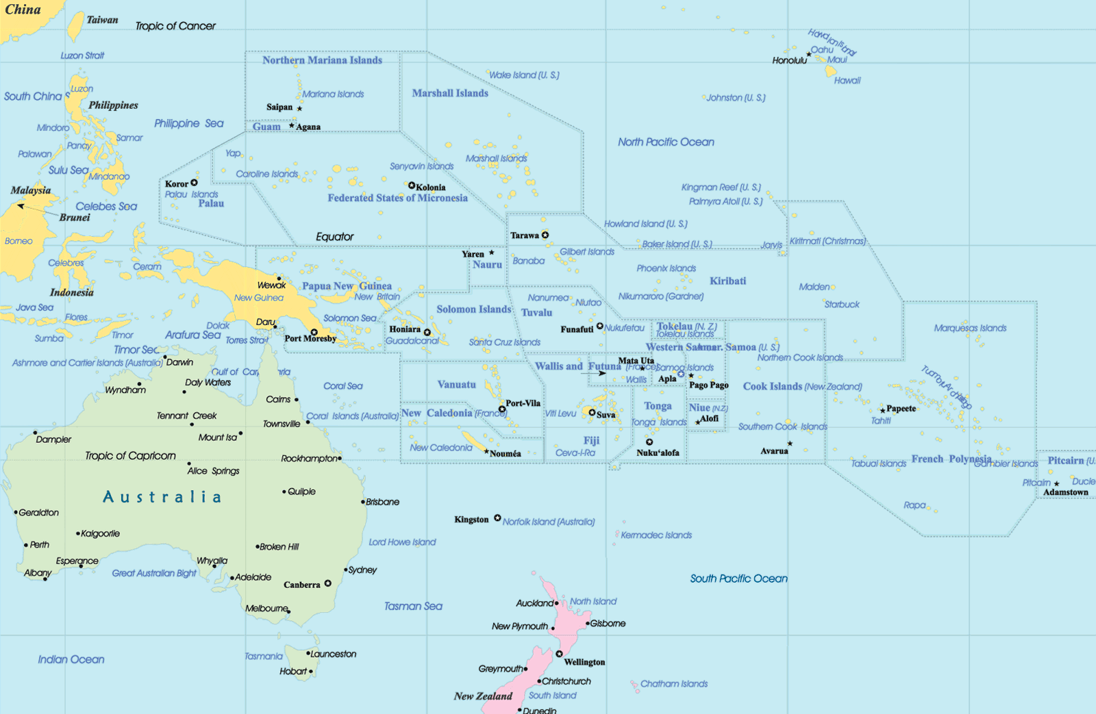
Click on the Oceania Political Map to view it full screen. File Type: png, File size: 212090 bytes (207.12 KB), Map Dimensions: 1600px x 1043px (256 colors)
More Oceania Static Maps
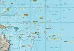
Oceania Map
1246 x 864 - 152,062k - jpg
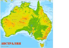
Australia Map 1
800 x 641 - 17,195k - jpg
Australiamap
3508 x 2478 - 523,702k - jpg
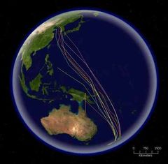
Bar Tailed Godwit Migration
416 x 408 - 31,685k - jpg
Langues Autronesiennes
1012 x 628 - 20,410k - png
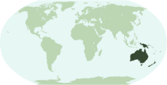
Locationoceania Transparent
2759 x 1404 - 42,983k - png

Locationoceania
2759 x 1404 - 42,958k - png
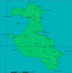
Loyalty Islands Lifou Map
914 x 927 - 29,161k - png
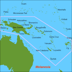
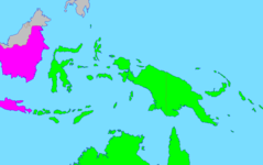
Map Oc Melanesia
500 x 500 - 7,344k - png
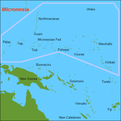
Map Oc Micronesia
500 x 500 - 6,012k - png
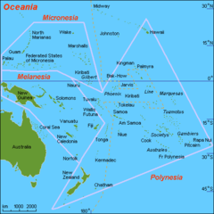
Map Oc Oceania
500 x 500 - 11,312k - png
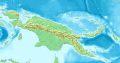
Map of New Guinea Demis
1373 x 728 - 126,575k - png

Mapoftutuila American Samoa 1
3033 x 1968 - 328,405k - gif
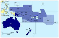
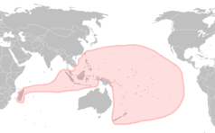
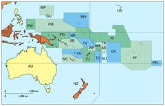
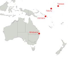
Members of Pacific Island Forum
920 x 598 - 25,119k - png
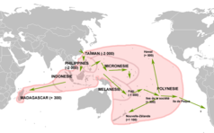
Migrations Autronesiennes
1012 x 628 - 29,118k - png
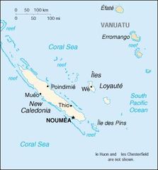
New Caledonia
351 x 377 - 14,870k - jpg

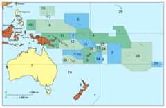
Oceania Iso 3166 1
920 x 598 - 24,591k - png
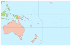
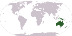
Oceania Continents
920 x 598 - 16,100k - png
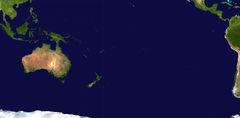
Oceania Satellite
2349 x 1155 - 104,990k - jpg
Oceania Without Asian Country Codes
794 x 514 - 46,739k - jpg
Oceanialocation
920 x 469 - 20,047k - png
Oceanie2
920 x 598 - 24,832k - png
Oceaniefrenchwikiversion
920 x 598 - 24,486k - png
Oster
600 x 600 - 48,568k - gif
Our Airline Destinations Map
483 x 424 - 9,962k - png
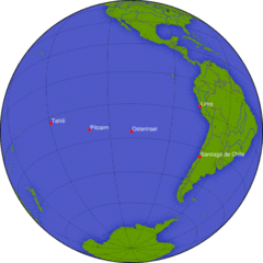
Pacific Ocean Pitcairn Island On Globe View English
400 x 400 - 17,276k - jpg
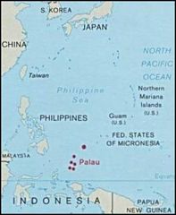
Palau And Oceania
304 x 370 - 14,024k - jpg

Transoceania M 1
1276 x 802 - 17,490k - png
Transoceania 2
1276 x 802 - 16,542k - png
Vmlslm Map
291 x 448 - 13,757k - jpg