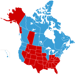
North America Second Level Political Division 2 And Greenland
Click on the North America Second Level Political Division 2 And Greenland to view it full screen. File Type: png, File size: 52952 bytes (51.71 KB), Map Dimensions: 900px x 1084px (256 colors)
More North America Static Maps
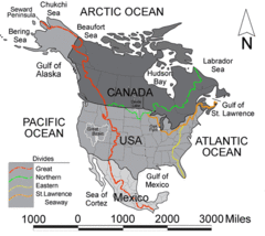
Northamericadivides
540 x 481 - 56,992k - gif
1888031210pm
915 x 1267 - 739,946k - gif
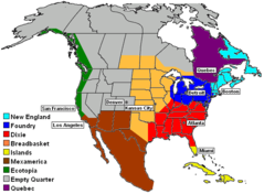
9nations
619 x 456 - 24,613k - png
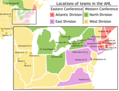
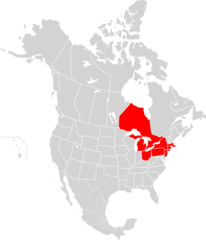
Ahl Team Locations
2100 x 1600 - 104,780k - png
Apdw En
619 x 752 - 19,616k - png
Apdw
619 x 752 - 21,064k - png
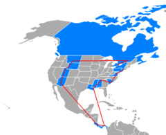
Amazing Race 8 Map
846 x 689 - 7,184k - png
America Septentrionalis
892 x 857 - 54,579k - png
Beringia Land Bridge Noaagov 1
700 x 458 - 2,511,875k - gif
Blankmap Usa States Canada Provinces, Hi Closer
920 x 920 - 42,162k - png
Blankmap Usa States Canada Provinces
2289 x 1744 - 39,305k - png
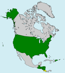
Cafta Members
907 x 1020 - 46,612k - png
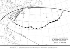
Cloud Cover Analysis 1959 Spac0036 Repair
1652 x 1154 - 164,649k - jpg
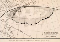
Cloud Cover Analysis 1959 Spac0036
1652 x 1154 - 231,881k - jpg
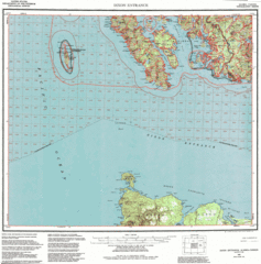
Contour Map of Dixon Entrance
1526 x 1544 - 720,572k - gif
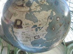
Coronelli Amnord
1265 x 929 - 141,704k - jpg
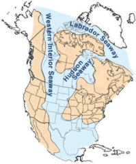
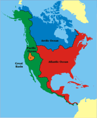
Cretaceous Seaway
250 x 301 - 22,250k - png
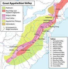
Greatvalley Map
624 x 637 - 81,104k - jpg
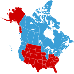
Jesusland Map With Alberta
920 x 920 - 37,801k - png
Jesusland Map
1737 x 1723 - 36,475k - png
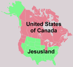
Jesusland
1753 x 1591 - 36,732k - png
Location of Hans Island, Green Land Canada
1357 x 628 - 16,342k - png

Locationnorthamerica Transparent
2759 x 1404 - 43,205k - png
Locationnorthamerica
2759 x 1404 - 43,201k - png
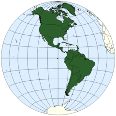
Locationwhamericas
800 x 800 - 19,612k - png
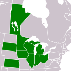
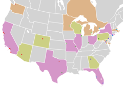
Mga Members
684 x 687 - 9,921k - png
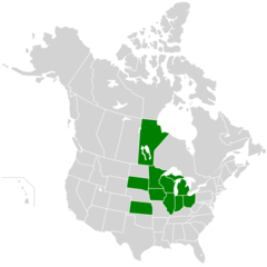
Map of North America, Mga Members
920 x 920 - 39,555k - png
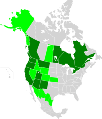
Map of North America, Wrcai Members
903 x 1051 - 43,318k - png
Map of North America, Blackout 2003
903 x 1051 - 45,680k - png
Map of Usa And Canada, Mlb,zoom
920 x 652 - 24,129k - png