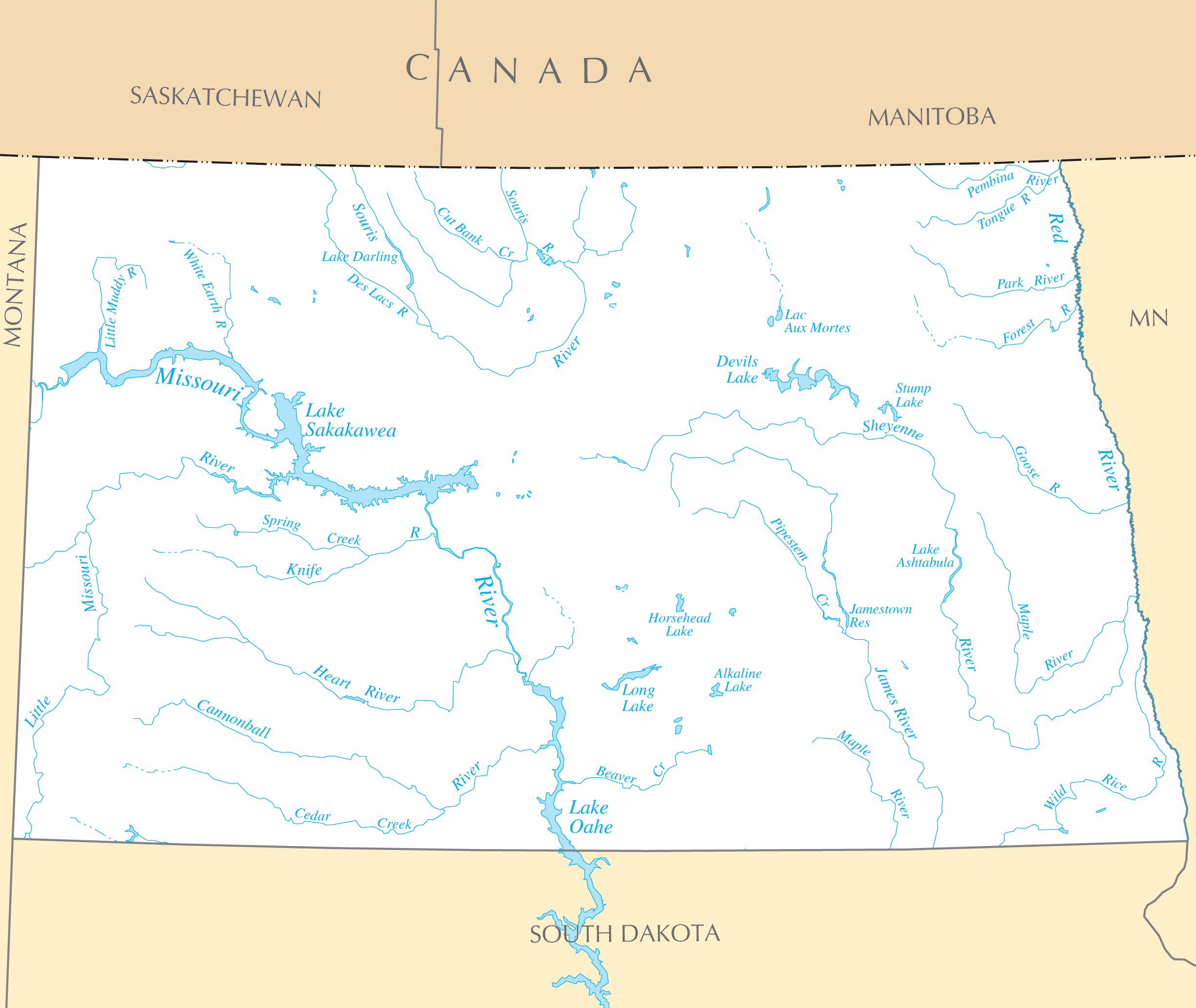
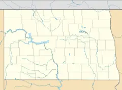
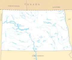
North Dakota Rivers And Lakes
In North Dakota's flat central plains, rivers provide vital irrigation and transport for farms.
The Missouri River
The Missouri River forms Lake Sakakawea as it flows through the western side of the state. Diverted water enables agriculture production.
The Red River
The Red River flows north along the eastern border between North Dakota and Minnesota. Flood control on the Red River helps protect Fargo and other cities.
The Souris River
The Souris River crosses through central North Dakota from Canada providing essential water for irrigation and drinking.
Major Lakes
North Dakota's lakes support recreation, tourism, and wildlife habitat.
Lake Sakakawea
Formed by Garrison Dam on the Missouri River, Lake Sakakawea is North Dakota's largest lake and offers popular fishing.
Devils Lake
Devils Lake in northeastern North Dakota has risen dramatically in recent decades and impacts the local climate and economy.
Lake Ashtabula
Lake Ashtabula is a reservoir created by damming the Sheyenne River. It provides flood control and recreation opportunities in the east.
Water access supports North Dakota's biggest industries like agriculture, energy, and tourism. Conservation efforts continue to be important.
More North Dakota Static Maps
Map of North Dakota Na 1
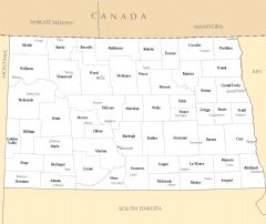
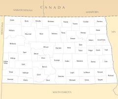
North Dakota Map Counties And Cities
Usa North Dakota Location Map
North Dakota Flag Map
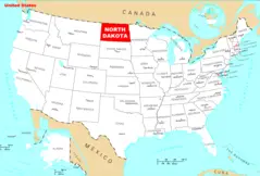
Where Is North Dakota Located
North Dakota Cities And Towns
North Dakota County Map
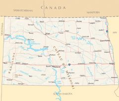
North Dakota Reference Map
North Dakota Rivers And Lakes