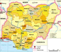
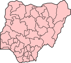
Nigeria Political Map
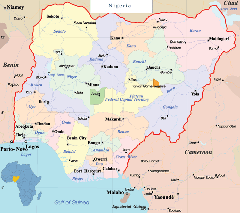
Click on the Nigeria Political Map to view it full screen. File Type: png, File size: 102785 bytes (100.38 KB), Map Dimensions: 800px x 711px (256 colors)
More Federal Republic of Nigeria Static Maps
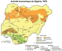
725px Nigeria Econ 1979 Fr
725 x 599 - 166,779k - jpg
At0103 Map
915 x 827 - 7,922k - png
At0710 Map 1
939 x 844 - 7,038k - png

At0904 Map 2
932 x 844 - 8,496k - png
At1010 Map
982 x 788 - 6,028k - png
Apapa
898 x 473 - 21,093k - png
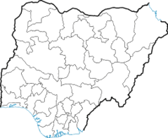
Blankmap Nigeria States
812 x 714 - 7,925k - png
Blankmap Nigeria2 92
863 x 705 - 11,100k - png
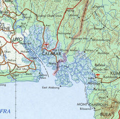
Cameroon Nigeria Border Coast 1
580 x 575 - 167,144k - jpg
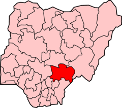
Estado Benue
676 x 600 - 34,923k - png
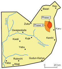
Fct Map
397 x 440 - 12,368k - png
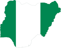
Flag Map of Nigeria
920 x 737 - 10,640k - png
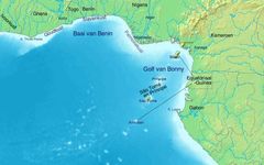
Golf Van Guinee 5
891 x 557 - 80,108k - jpg
Golf Von Guinea 5
891 x 557 - 54,654k - jpg
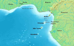
Gulf of Guinea (english) 5
891 x 557 - 159,122k - jpg
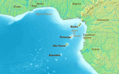
Gulf of Guinea (blank) 5
891 x 557 - 139,135k - jpg
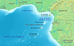
Gulf of Guinea Fr 5
891 x 557 - 167,999k - jpg
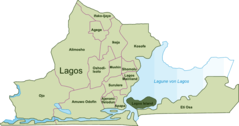
Ikeja Map
898 x 473 - 21,073k - png
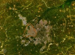
Jos Satellite Map
1280 x 956 - 280,328k - jpg
Kano
896 x 669 - 131,395k - jpg
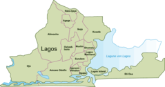
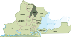
Lga Lagos
898 x 473 - 20,840k - png
Lagos Island Map
898 x 473 - 20,641k - png
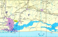
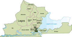
Lagos Region
930 x 600 - 146,002k - jpg
Lagoslocation English
567 x 482 - 36,204k - png
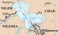
Lakechad Map 2
588 x 362 - 29,667k - png
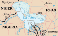
Lakechad Mapfr 2
300 x 185 - 14,543k - png
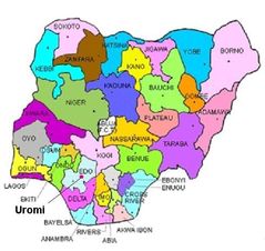
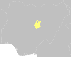
Location of Esan North East In Nigeria
490 x 463 - 37,020k - jpg
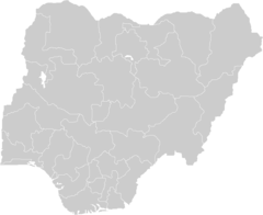
Locator Map Blank Nigeria
270 x 221 - 6,784k - png
Locator Map Nigeria
400 x 355 - 14,955k - png
Mapa Nigerie
332 x 352 - 13,491k - png