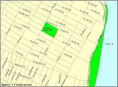
Newtown Creek Aerial Photo
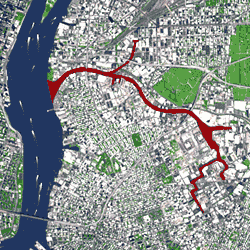
Click on the Newtown Creek Aerial Photo to view it full screen. File Type: png, File size: 32726 bytes (31.96 KB), Map Dimensions: 250px x 250px (256 colors)
More New York City Static Maps
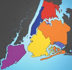
5 Boroughs Labels New York City Map Blank Map
2652 x 2582 - 297,601k - jpg

Airports New York City Map Julius Schorzman With Floyd Bennett Field
2652 x 2582 - 365,414k - jpg
Alphabet City New York Map
575 x 425 - 27,919k - gif
East Village New York City Map 3
422 x 359 - 51,256k - jpg
East Village New York Neighborhood Map
841 x 622 - 71,853k - jpg
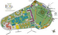
Governors Island
1400 x 855 - 153,715k - jpg
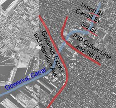
Gowanus Canal
1340 x 1256 - 351,262k - jpg
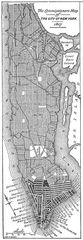
Grid 1811
250 x 720 - 64,229k - jpg
Lower Manhattan Map Alphabet City
422 x 359 - 20,285k - gif
Lower Manhattan Map East Village
422 x 359 - 21,906k - gif
Lower Manhattan Map Les
422 x 359 - 20,595k - gif
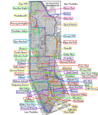
Manhattan Neighborhoods
950 x 1125 - 283,249k - png
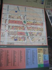
Map of Herald Square New York City, Ny
1944 x 2592 - 448,541k - jpg
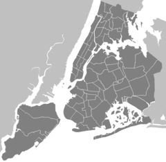
Neighbourhoods New York City Map
1326 x 1291 - 28,825k - png
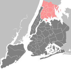
New York City Bronx
1326 x 1291 - 28,982k - png

New York City Brooklyn Williamsburg
1326 x 1291 - 29,324k - png
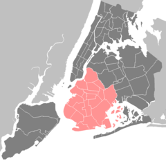
New York City Brooklyn
1326 x 1291 - 29,209k - png
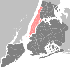
New York City Manhattan Battery Park
1326 x 1291 - 29,148k - png
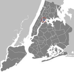
New York City Manhattan Bronx Kill
1326 x 1291 - 29,250k - png

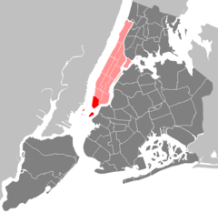
New York City Manhattan Chinatown
1326 x 1291 - 29,126k - png
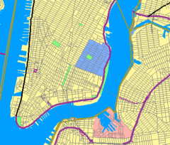
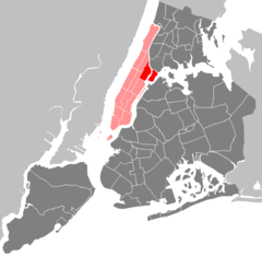
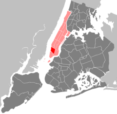
New York City Manhattan Community Board 1
1326 x 1291 - 29,069k - png

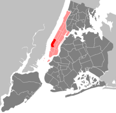
New York City Manhattan Community Board 10
1326 x 1291 - 29,067k - png
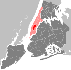
New York City Manhattan Community Board 11
1326 x 1291 - 29,089k - png
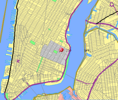
New York City Manhattan Community Board 2
1326 x 1291 - 29,058k - png

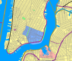
New York City Manhattan Community Board 3
1326 x 1291 - 29,073k - png
New York City Manhattan Community Board 4
1326 x 1291 - 29,078k - png
New York City Manhattan Community Board 5
1326 x 1291 - 29,076k - png

New York City Manhattan Community Board 6
1326 x 1291 - 29,077k - png

New York City Manhattan Community Board 7
1326 x 1291 - 29,066k - png

New York City Manhattan Community Board 8
1326 x 1291 - 29,088k - png