Tamaulipas Mexico Road Map
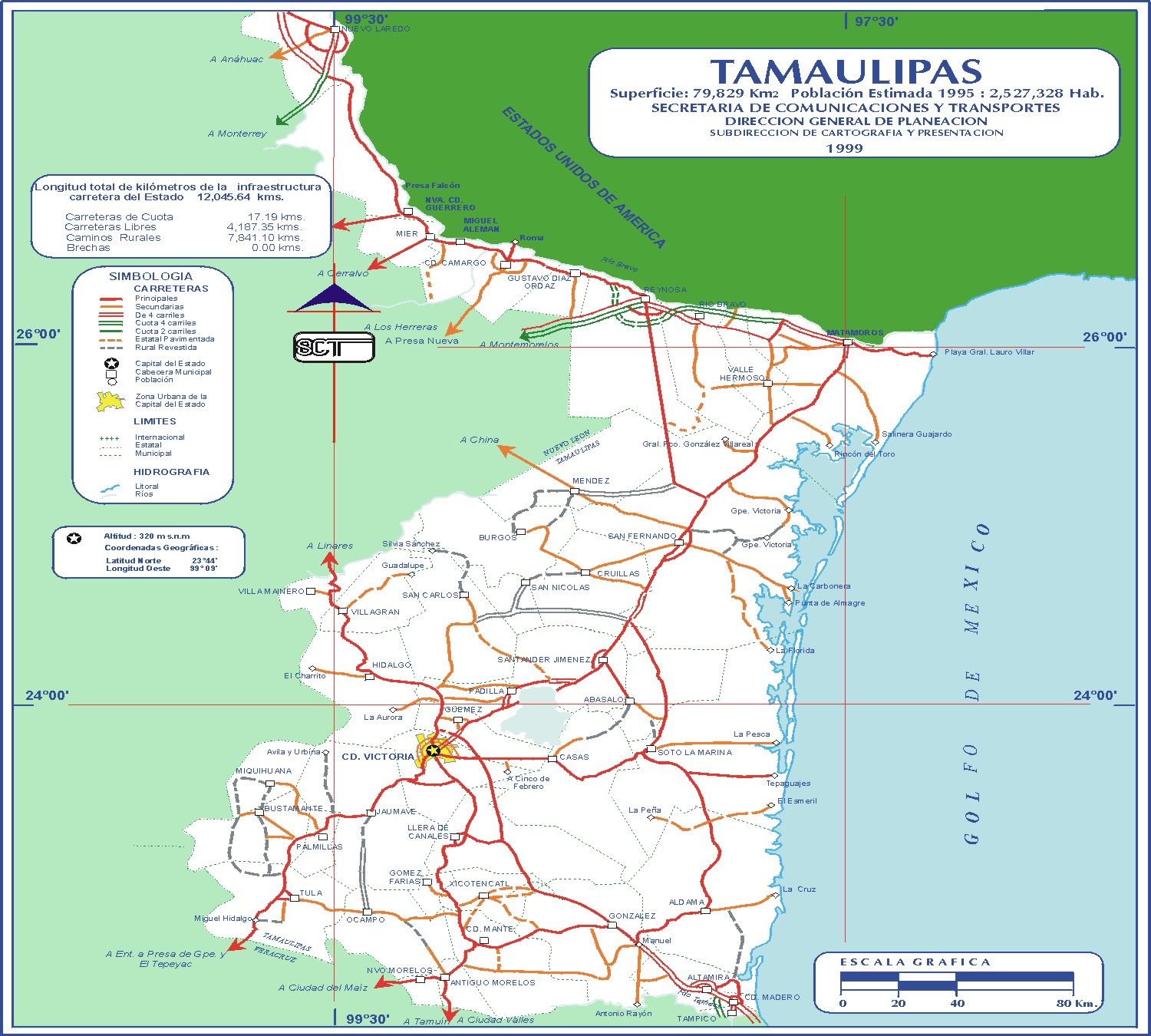
Click on the Tamaulipas Mexico Road Map to view it full screen. File Type: jpg, File size: 453501 bytes (442.87 KB), Map Dimensions: 1500px x 1350px (16777216 colors)
More Mexico Static Maps
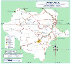
Durango Mexico Road Map
1500 x 1350 - 427,475k - jpg
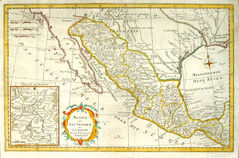
Old Map of Mexico 1780
755 x 500 - 174,960k - jpg