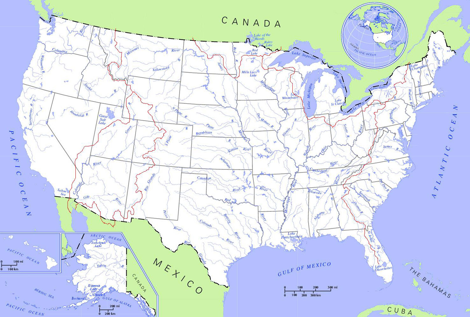
United States Rivers And Lakes Map
The United States has an abundance of rivers and lakes across its landscape. Here is an overview of some of the major rivers and lakes in the U.S.:
Mississippi River
The Mississippi River is one of the major rivers in the United States, located in the south. It flows over 2,300 miles from Minnesota to the Gulf of Mexico. Some key details about the Mississippi River include:
- It is the second-longest river in North America after the Missouri River.
- The river and its tributaries drain all or parts of 31 U.S. states and two Canadian provinces.
- Major cities along the Mississippi River include Minneapolis, Memphis, Baton Rouge, and New Orleans.
- It carries huge amounts of shipping traffic and forms part of a major inland water transportation system.
Great Lakes
The Great Lakes are a group of large lakes located along the U.S.-Canada border in the upper Midwestern region of North America. Details include:
- The Great Lakes include Lake Superior, Lake Michigan, Lake Huron, Lake Erie, and Lake Ontario.
- They make up the largest group of freshwater lakes on Earth by total area.
- Over 35 million people live along their shores in both Canada and the United States.
- Major cities along the Great Lakes include Chicago, Milwaukee, Detroit, and Toronto.
- They support a massive shipping industry, recreational boating and fishing, and other economic activities.
Colorado River
The Colorado River is a major river in the southwestern United States and northwest Mexico. Key facts:
- It flows over 1,400 miles from Colorado to the Gulf of California.
- The river drains parts of seven U.S. states: Wyoming, Colorado, Utah, New Mexico, Nevada, Arizona, and California.
- It flows through the Grand Canyon and provides water supply for major cities like Las Vegas.
- Dams along the river, like the Hoover Dam, provide hydroelectric power and form major reservoirs like Lake Mead.
Columbia River
The Columbia River is a large river flowing through the northwestern U.S. Notable details:
- It flows over 1,200 miles, draining parts of seven U.S. states and one Canadian province.
- Major cities along the river include Portland and Vancouver.
- It forms a large gorge called the Columbia River Gorge and many dams along the river generate hydroelectricity.
- The river's drainage basin is very large, encompassing over 258,000 square miles.
The major rivers and lakes of the United States provide important economic benefits and ecosystems to the regions surrounding them. Learning their locations by studying a map provides greater insight into the geography of the U.S.
More United States Static Maps
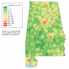
Alabama Population Map
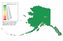
Alaska Population Map
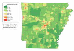
Arkansas Population Map
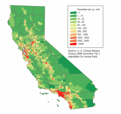
California Population Map
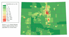
Colorado Population Map
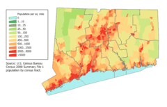
Connecticut Population Map
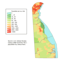
Delaware Population Map
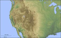
Der Westen Der Vereinigten Staaten
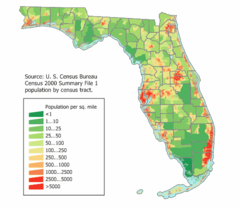
Florida Population Map
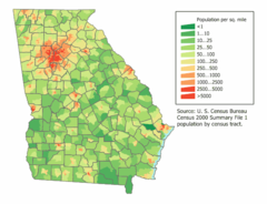
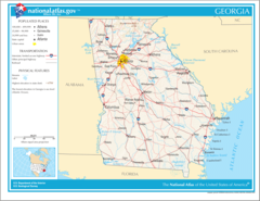
Georgia Population Map
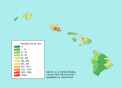
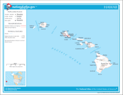
Hawaii Population Map
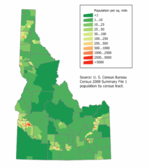
Idaho Population Map
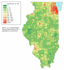
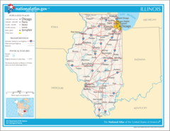
Illinois Population Map
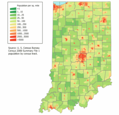
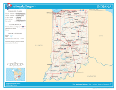
Indiana Population Map
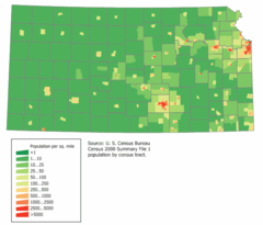
Kansas Population Map
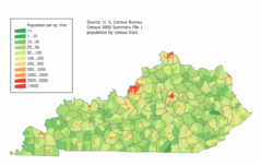
Kentucky Population Map
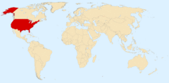
Location Uf Us
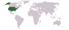
Location Usa
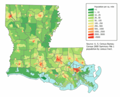
Louisiana Population Map
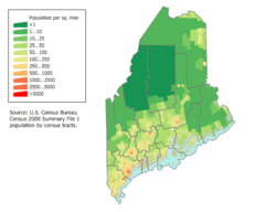
Maine Population Map
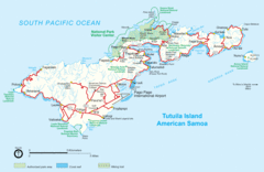
Mapoftutuila American Samoa
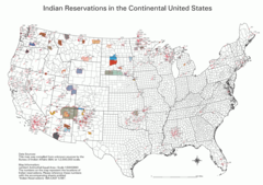
Map Indian Reservations Usa
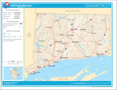
Map of Connecticut Na
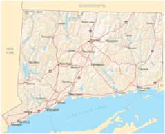
Map of Connecticut Na Cropp
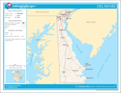
Map of Delaware Na
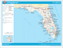
Map of Florida Na
Map of Georgia Na
Map of Hawaii Na
Map of Illinois Na