Topographic Map of Mumbai
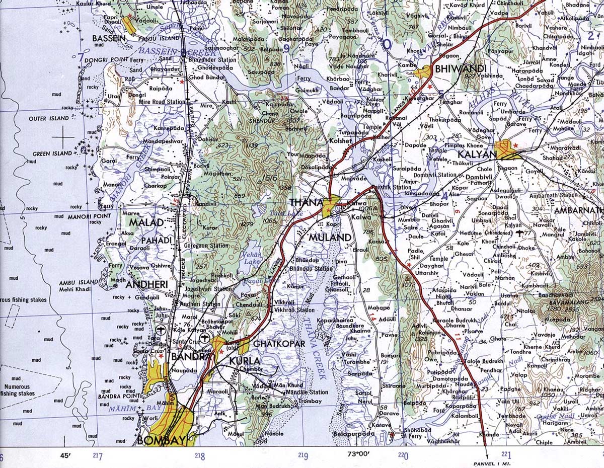
Click on the Topographic Map of Mumbai to view it full screen. File Type: jpg, File size: 334215 bytes (326.38 KB), Map Dimensions: 1200px x 930px (16777216 colors)
More State of Rājasthān Static Maps
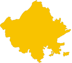
Blank Map of Rajasthan
600 x 526 - 10,751k - png
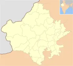
Cities Blank Map of Rajasthan
800 x 728 - 33,657k - png
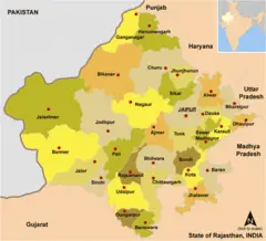
Cities Map of Rajasthan
800 x 728 - 46,976k - png
Detailed Map of Rajasthan
1177 x 1300 - 473,213k - jpg
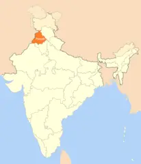
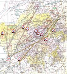
Location Map of Punjab
1714 x 2000 - 98,090k - png
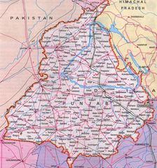
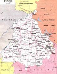
Map of Punjab
700 x 750 - 126,655k - jpg
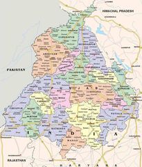
Political Map of Punjab
867 x 1014 - 189,500k - jpg
Punjab Political Map
524 x 682 - 76,618k - jpg
Topographic Map of Mumbai
1200 x 930 - 334,215k - jpg
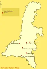
Tourist Map of Kolkata
600 x 877 - 24,728k - png
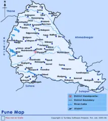
Transport Map of Pune
600 x 674 - 41,763k - png