Texas County Map
With 268 counties, Texas has more counties than any other U.S. state. Studying the Texas county map provides insight into the Lone Star State's diverse geography and settlement patterns.
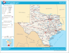
Major Cities
Texas' largest metropolitan areas include:
- Houston - Located in Harris County along the Gulf coast.
- Dallas - Northern city located within Dallas County.
- San Antonio - Bexar County city with a strong Spanish heritage.
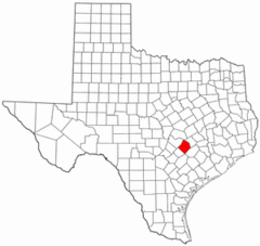
- Austin - State capital situated in Travis County.
Regions
Texas can be divided into several distinct regions:
- East Texas - Piney Woods area with a wet climate. Small counties.
- Gulf Coast - Coastline region fronting the Gulf of Mexico.
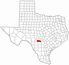
- Hill Country - Rugged, elevated central region west of Austin.
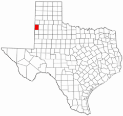
- West Texas - Arid, flat terrain that gradually rises to mountains near New Mexico. Large, rural counties.
- Panhandle - Northern region that extends into the Great Plains. Highly agricultural.
In summary, Texas' expansive county map reflects the diversity of geography, resources, and settlement patterns across the vast Lone Star State. Studying the regions and counties provides localized insight.
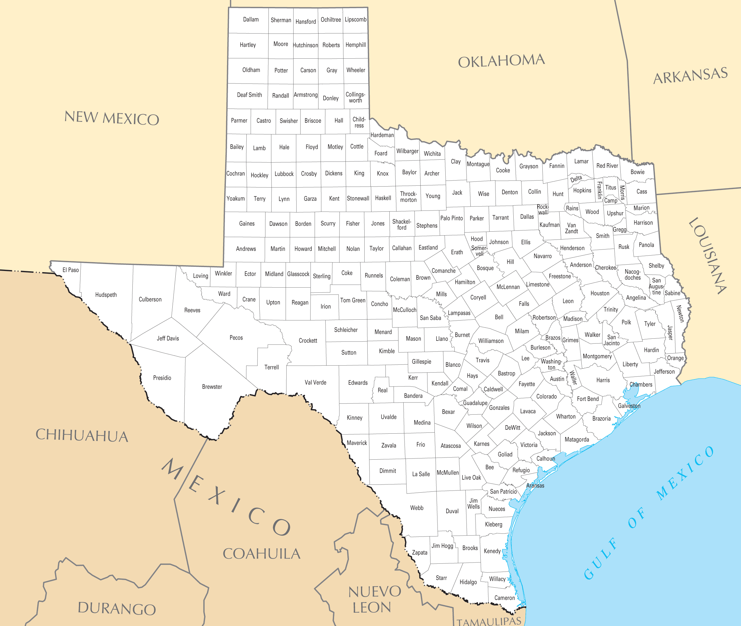
Click on the Texas County Map to view it full screen. File Type: PNG, File size: 202313 bytes (197.57 KB), Map Dimensions: 2451px x 2070px ( colors)
More Texas Static Maps
Map of Texas Na 1
1200 x 927 - 173,660k - png
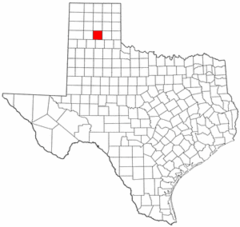
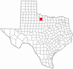
Anderson County Texas
300 x 284 - 13,880k - png
Andrews County Texas
300 x 284 - 12,215k - png
Angelina County Texas
300 x 284 - 11,906k - png
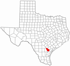
Aransas County Texas
300 x 284 - 13,664k - png
Archer County Texas
300 x 284 - 13,163k - png
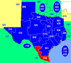
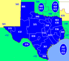
Area Code 956
400 x 355 - 7,426k - png
Area Codes Tx
400 x 355 - 7,448k - png
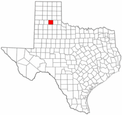
Armstrong County Texas
300 x 284 - 11,800k - png
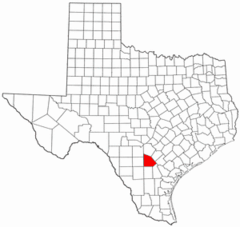
Atascosa County Texas
300 x 284 - 13,949k - png
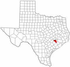
Austin County Texas
300 x 284 - 12,142k - png
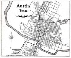
Austin Tx 1920 Map
690 x 562 - 98,092k - jpg
Bailey County Texas
300 x 284 - 11,911k - png
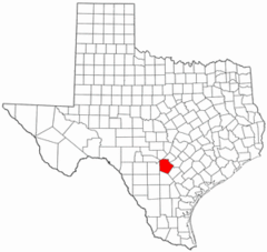
Bandera County Texas
300 x 284 - 13,069k - png
Bastrop County Texas
300 x 284 - 13,147k - png
Baylor County Texas
300 x 284 - 13,223k - png
Bee County Texas
300 x 284 - 13,364k - png
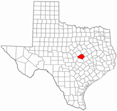
Bell County Texas
300 x 284 - 12,386k - png
Bexar County Texas
300 x 284 - 13,673k - png
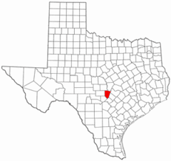
Blanco County Texas
300 x 284 - 12,271k - png
Blank Map of Texas
2308 x 1584 - 91,639k - png
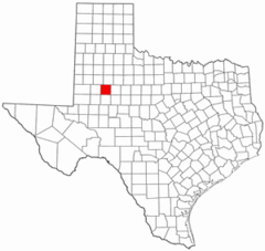
Borden County Texas
300 x 284 - 12,602k - png
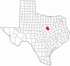
Bosque County Texas
300 x 284 - 13,894k - png
Bowie County Texas
300 x 284 - 13,760k - png
Brazoria County Texas
300 x 284 - 12,395k - png
Brazos County Texas
300 x 284 - 12,655k - png
Brewster County Texas
300 x 284 - 12,626k - png
Briscoe County Texas
300 x 284 - 13,369k - png
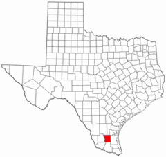
Brooks County Texas
300 x 284 - 12,148k - png
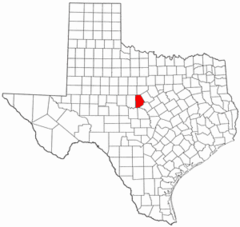
Brown County Texas
300 x 284 - 11,942k - png