Satellite Image of North Korea In December 2002
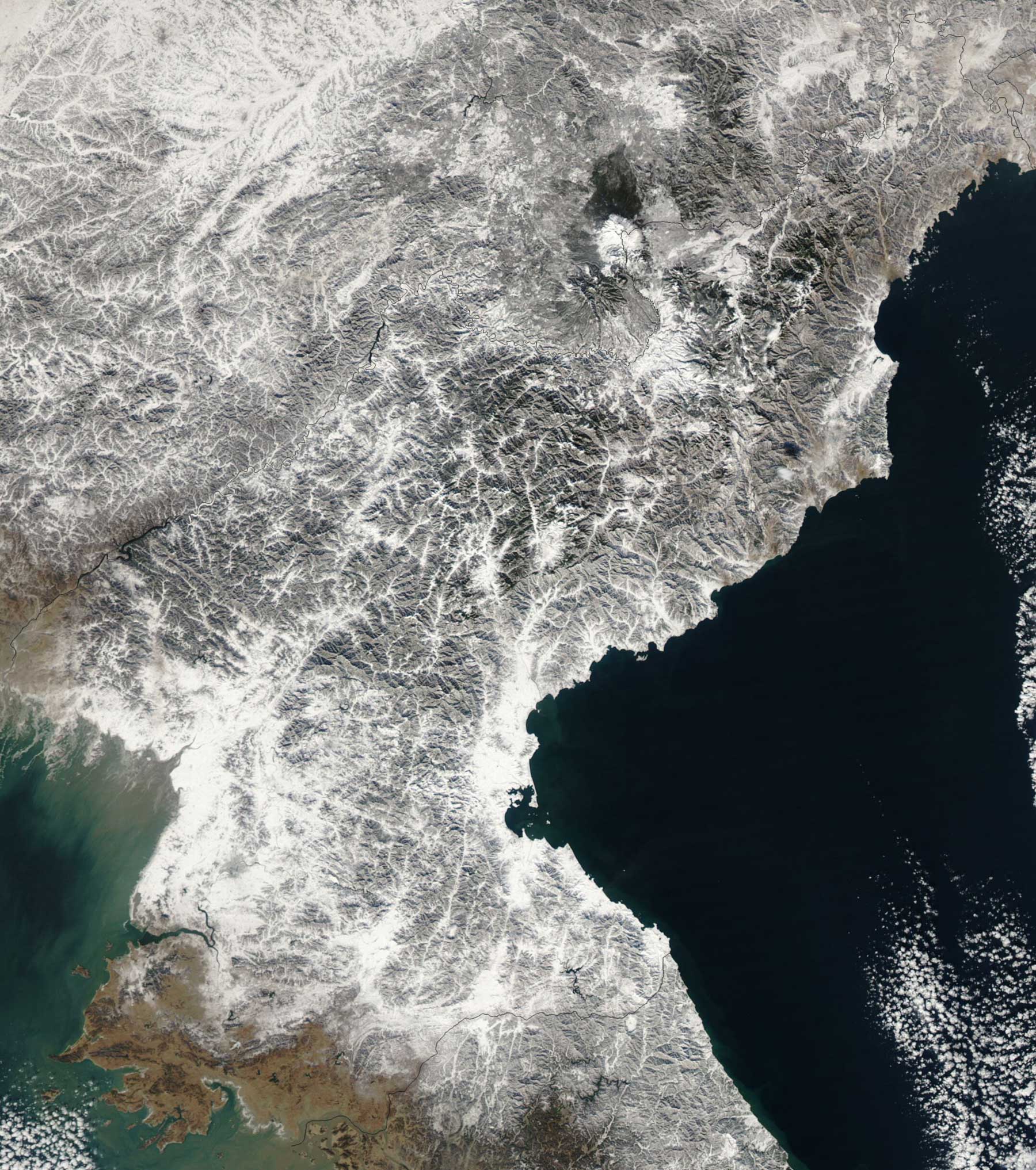
Click on the Satellite Image of North Korea In December 2002 to view it full screen. File Type: jpg, File size: 530542 bytes (518.11 KB), Map Dimensions: 1800px x 2034px (16777216 colors)
More Democratic People’s Republic of Korea Static Maps
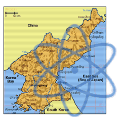
2006 North Korean Nuclear Test Ko
474 x 409 - 9,720k - png
2006 North Korean Nuclear Test
369 x 465 - 21,902k - png
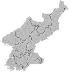
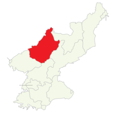
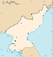
Dprk Div
1168 x 1206 - 31,504k - png
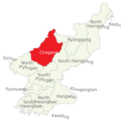
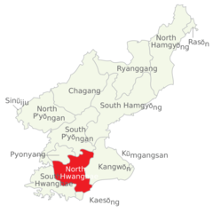
Divisions of North Korea (en) Chagang Clear
920 x 920 - 24,049k - png
Divisions of North Korea (en) Chagang
920 x 920 - 37,668k - png
Divisions of North Korea (en) Clear
920 x 920 - 24,598k - png
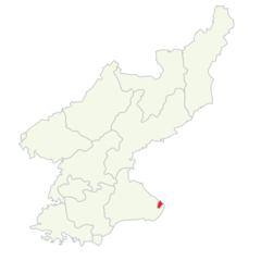
Divisions of North Korea (en) Kaesong Clear
920 x 920 - 24,852k - png
Divisions of North Korea (en) Kangwon Clear
920 x 920 - 23,973k - png
Divisions of North Korea (en) Kumgansan Clear
920 x 920 - 25,126k - png
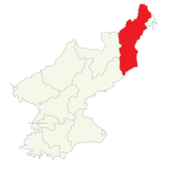
Divisions of North Korea (en) N Hamgyong Clear
920 x 920 - 23,898k - png
Divisions of North Korea (en) N Hwanghae Clear
920 x 920 - 37,588k - png
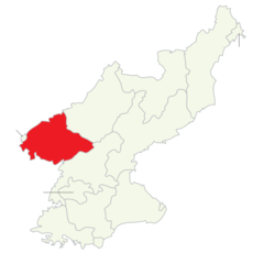
Divisions of North Korea (en) N Pyongan Clear
920 x 920 - 23,995k - png
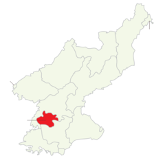
Divisions of North Korea (en) Pyongang Clear
920 x 920 - 24,807k - png
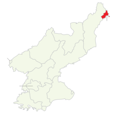
Divisions of North Korea (en) Rason Clear
920 x 920 - 24,850k - png
Divisions of North Korea (en) Ryangang Clear
920 x 920 - 24,027k - png
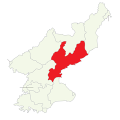
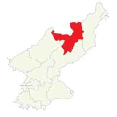
Divisions of North Korea (en) S Hamgyong Clear
920 x 920 - 24,055k - png
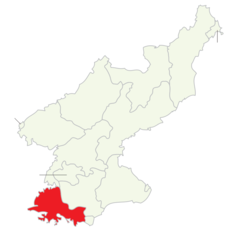
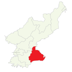
Divisions of North Korea (en) S Hwanghae Clear
920 x 920 - 23,921k - png
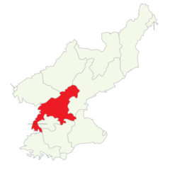
Divisions of North Korea (en) S Pyongan Clear
920 x 920 - 23,987k - png
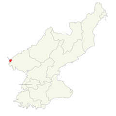
Divisions of North Korea (en) Sinuiju Clear
920 x 920 - 24,845k - png
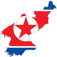
Flag Map of North Korea
920 x 906 - 19,642k - png
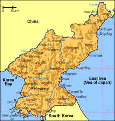
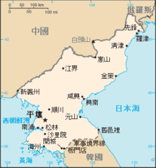
Korea North Map
573 x 603 - 25,015k - png
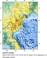
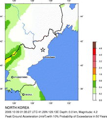
Magnitude 4 2 North Korea October 09 2006 At 013527 Utc 1
471 x 570 - 67,059k - jpg
Nkorea Nuke Illustration
271 x 279 - 14,570k - png
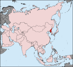
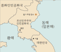
Nordkorea Pos
330 x 302 - 14,345k - png
North Korea 1996 Cia Map
1600 x 1990 - 381,068k - jpg
North Korea Nuclear Test
517 x 570 - 56,764k - jpg
North Korea Map Cia (zh)
294 x 316 - 7,246k - png
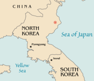
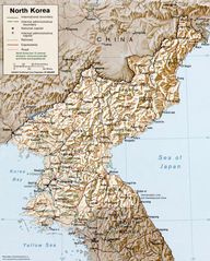
North Korea Map
326 x 351 - 6,172k - png
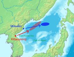
North Korea Missile Launch In 20060705 En
485 x 375 - 44,689k - png
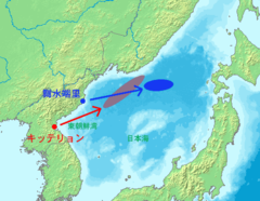
North Korea Missile Launch In 20060705 Ja
485 x 375 - 46,090k - png