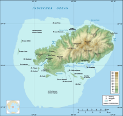
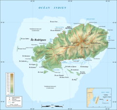
Rodrigues Island Topographic Map Fr
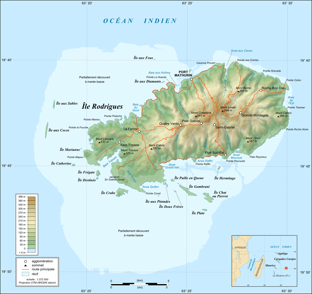
Click on the Rodrigues Island Topographic Map Fr to view it full screen. File Type: png, File size: 208225 bytes (203.34 KB), Map Dimensions: 1200px x 1129px (256 colors)
More Republic of Mauritius Static Maps
000 Mauritius Harta
330 x 355 - 6,401k - png
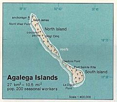
Agalega Islands 76
437 x 378 - 36,416k - jpg
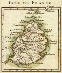
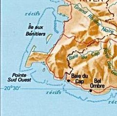
Bonne Isle De France (detail)
1045 x 1231 - 397,560k - jpg
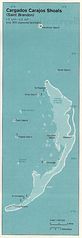
Cargados Carajos 76
439 x 1275 - 98,483k - jpg
Carte De Maurice Lmb
260 x 258 - 19,864k - jpg
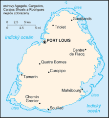
Carte De Maurice
1000 x 1206 - 235,602k - jpg
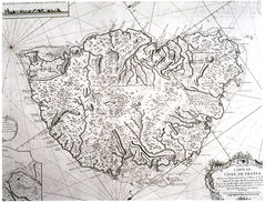
Isle De France Carte
652 x 497 - 487,966k - jpg
Mapa Mauricia
330 x 355 - 10,194k - png
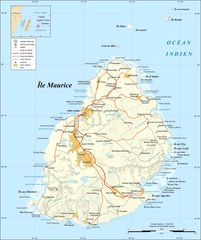
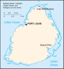
Mauritius Island Map Fr
1800 x 2148 - 269,924k - jpg
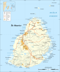
Mauritius Island Map Fr 1
900 x 1074 - 200,265k - png
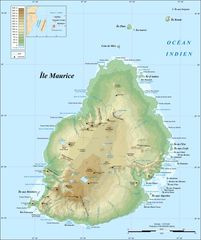
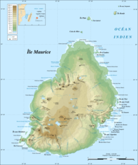
Mauritius Island Topographic Map Fr
1800 x 2148 - 209,216k - jpg
Mauritius Island Topographic Map Fr 1
900 x 1074 - 204,626k - png
Mauritius Map With Historical Places
330 x 355 - 8,892k - png
Mauritius Blank Map
904 x 1046 - 26,844k - png
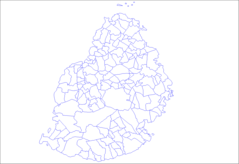
Mauritius Districts Blank
2000 x 2163 - 27,368k - png
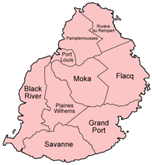
Mauritius Districts Named
500 x 541 - 16,149k - png
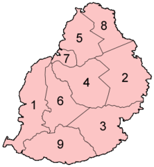
Mauritius Districts Numbered
300 x 324 - 7,334k - png
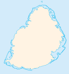
Mauritius Locator
330 x 355 - 5,386k - png
Mauritius Municipalities
1281 x 878 - 20,019k - png
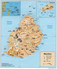
Mauritius Rel90
1000 x 1206 - 241,500k - jpg
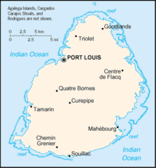
Mauritius Cia Wfb Map
330 x 355 - 10,043k - png
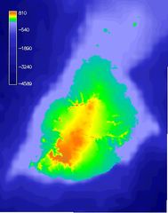
Mauritiushoogtekaart02
380 x 482 - 50,011k - jpg
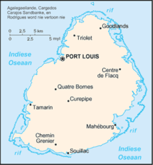
Mauritiuskaart
440 x 473 - 24,824k - png
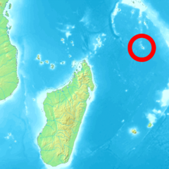
Position of Agalega
950 x 950 - 390,331k - png
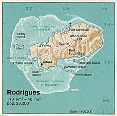
Rodrigues 76
430 x 427 - 52,079k - jpg
Rodrigues Island Bathymetric Environment Map Fr
920 x 608 - 52,696k - png
Rodrigues Island Topographic Map De
1200 x 1129 - 185,134k - png
Rodrigues Island Topographic Map Fr
1200 x 1129 - 208,225k - png
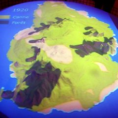
Zuckerrohranbau Auf Mauritius 1920
800 x 800 - 191,832k - jpg
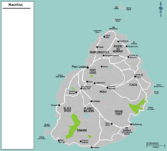
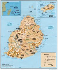
Map Mauritius
1261 x 1144 - 89,631k - png