River Trent
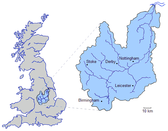
Click on the River Trent to view it full screen. File Type: png, File size: 17473 bytes (17.06 KB), Map Dimensions: 559px x 437px (256 colors)
More United Kingdom of Great Britain and Northern Ireland Static Maps
Britain 802
1241 x 1755 - 383,411k - png
Britain 886
1241 x 1755 - 397,563k - png
Britain Northern Walls
1484 x 2093 - 371,581k - jpg
Britania 10dc
463 x 578 - 28,761k - png
British Isles Isle of Man Svg
343 x 600 - 13,975k - png
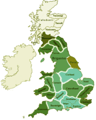
British Kingdoms C 800
718 x 1164 - 306,926k - gif
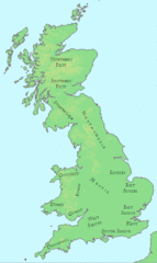
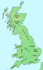
British Seventh Century Kingdoms
526 x 880 - 169,492k - gif
Counties In Uk
1042 x 1670 - 111,306k - gif
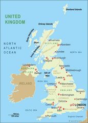
England
2769 x 3553 - 936,365k - jpg
England Large Map
1200 x 1540 - 620,120k - png
England Map
760 x 1185 - 118,397k - jpg
England Map 2
465 x 650 - 34,449k - jpg
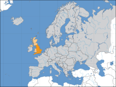
Europe Location England
1600 x 1200 - 121,832k - png
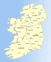
Ireland
684 x 788 - 44,987k - gif
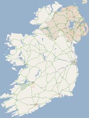
Ireland 1
1844 x 2450 - 256,211k - jpg
Ireland 2
813 x 998 - 112,557k - gif
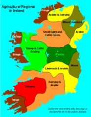
Ireland Maps Island Agriculture
429 x 553 - 14,313k - gif
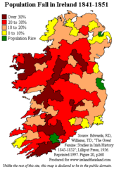
Ireland Population Change 1841 1851
358 x 531 - 11,234k - png
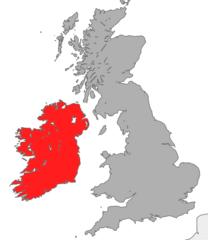
Ireland Uk
1266 x 1167 - 641,699k - gif
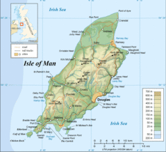
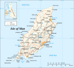
Isle of Man
1091 x 996 - 61,189k - gif
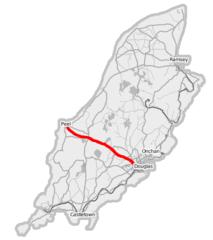
Isle of Man A1 Road
436 x 491 - 22,353k - png
Isle of Man Cities Villages
690 x 815 - 7,661k - png
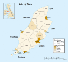
Isle of Man Parishes By Sheading
834 x 856 - 8,732k - png
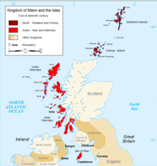
Kingdom of Mann And the Isl
914 x 966 - 93,000k - gif
Map England
322 x 550 - 62,394k - gif
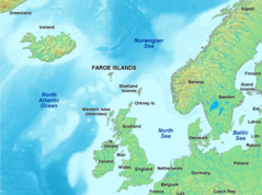
Map of Faroe Islands In Europe
1433 x 1068 - 343,228k - png
Map of Isle of Man
1564 x 1424 - 353,558k - gif
Map of Isle of Man 2
1564 x 1436 - 310,005k - gif
Map of Wales Gif
379 x 441 - 6,794k - GIF
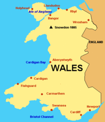
Map of Wales
760 x 1185 - 122,344k - jpg