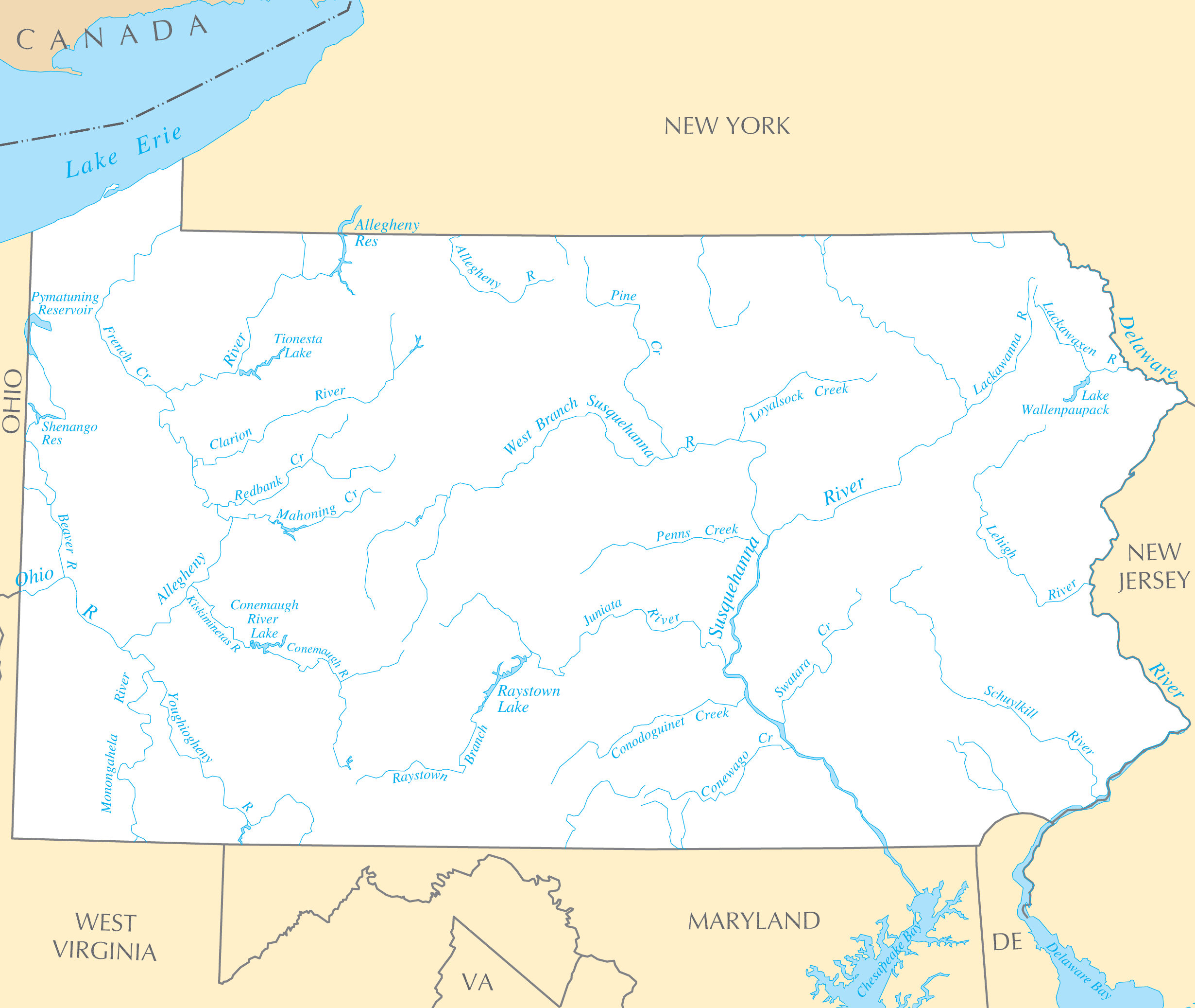
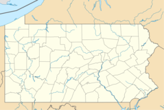
Pennsylvania Rivers And Lakes
Pennsylvania has several prominent rivers that fueled early industrialization and commerce.
The Delaware River
Forming the eastern state boundary, the Delaware River was vital for Philadelphia's port and shipbuilding industry starting in the Colonial era.
The Susquehanna River
The Susquehanna River runs through central Pennsylvania and powered mills and manufacturing in Harrisburg and Wilkes-Barre via its tributaries.
The Allegheny River
Joining the Monongahela to form the Ohio River, the Allegheny River enabled trade and supported Pittsburgh's steel mills.
The Great Lakes
Though not bordering the Great Lakes, Pennsylvania benefits from these massive bodies of water.
Lake Erie
Lake Erie in the northwest corner provided shipping access from Erie's port and shipbuilding industry.
Finger Lakes
New York's Finger Lakes just north of the state border supply grape vineyards in the Chautauqua-Lake Erie wine region.
From colonial times through the peak of American manufacturing, Pennsylvania's network of waterways played an integral role in development.
More Pennsylvania Static Maps
Map of Pennsylvania Na 1
17th Congressional District
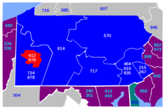
Area Code 412
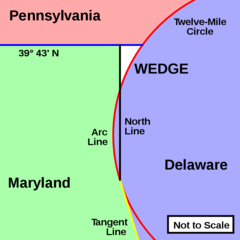
Delaware Wedge
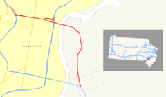
I 676 (nj Pa) Map
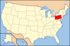
Map of Usa Pa
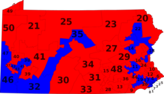
Pa State Senate District Alt
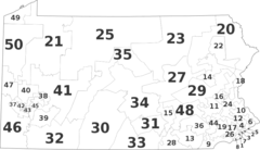
Pa State Senate Districts By Muni
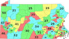
Pa State Senate Districts By Party
Pa 402 Map
Pa 434 Map
Pa 646 Map
Pa 652 Map
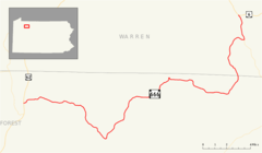
Pa 663 Map
Pa 666 Map
Pennsylvania Municipalities
Pennsylvania Blank
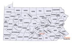
Pennsylvania Counties Map
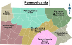
Pennsylvania Regions Map
Usa Pennsylvania Location Map
Pennsylvania Flag Map
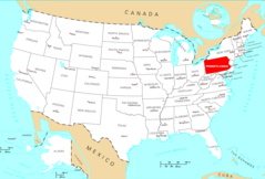
Where Is Pennsylvania Located
Pennsylvania Cities And Towns
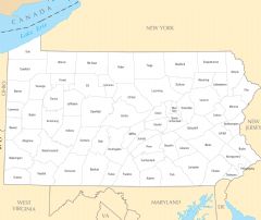
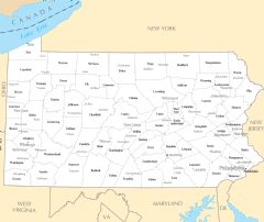
Pennsylvania County Map
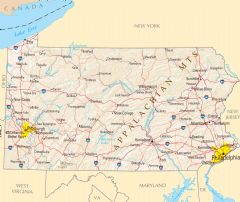
Pennsylvania Reference Map
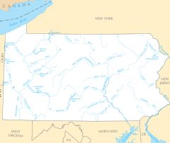
Pennsylvania Rivers And Lakes