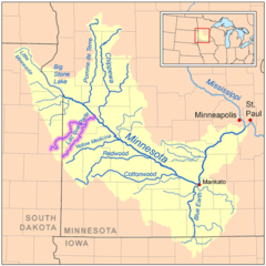
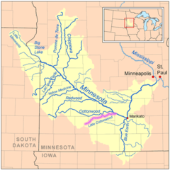
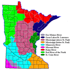
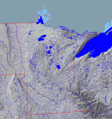
Minnesota Rivers And Lakes
Minnesota is known as the "Land of 10,000 Lakes" but also has several iconic rivers.
Mississippi River
The Mississippi River forms Minnesota's eastern border with Wisconsin. Facts about the Mississippi River in Minnesota:
- It flows over 2,300 miles from Minnesota to the Gulf of Mexico.
- The Mississippi's headwaters are located at Lake Itasca in northwestern Minnesota.
- Cities along the river include Minneapolis, St. Paul, Brainerd, and Winona, Minnesota.
- The river supports commerce, recreation, and wildlife habitats along its course.
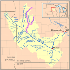
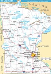
Minnesota River
The Minnesota River flows southeast from Big Stone Lake near the South Dakota border. Details about the Minnesota River:
- It spans over 300 miles across southern Minnesota.
- The river flows through the cities of Granite Falls, New Ulm, and Jordan, Minnesota.
- It joins the Mississippi River near Minneapolis-St. Paul.
Saint Louis River
The Saint Louis River forms part of Minnesota's border with Wisconsin. Facts about the St. Louis River:
- It flows 179 miles from northern Minnesota into Lake Superior.
- The river passes through the port cities of Duluth, Minnesota and Superior, Wisconsin.
- It was an important fur trading and transportation route.
Notable Lakes in Minnesota
Iconic Minnesota lakes include:
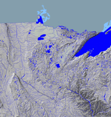
- Lake Superior - Forms Minnesota's northeastern border.
- Leech Lake - Located in Cass County, known for fishing.
- Lake Minnetonka - Minnesota's second largest lake, located west of Minneapolis.
- Mille Lacs Lake - A popular fishing lake in central Minnesota.
Minnesota's rivers and lakes are integral to its identity and provide ecological, cultural, and economic value.
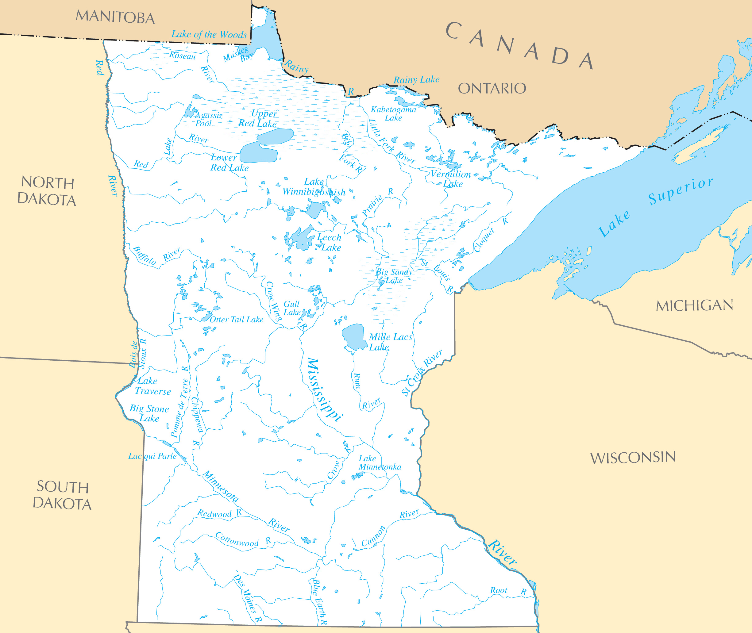
Click on the Minnesota Rivers And Lakes to view it full screen. File Type: PNG, File size: 206110 bytes (201.28 KB), Map Dimensions: 2451px x 2064px ( colors)
More Minnesota Static Maps
Map of Minnesota Na 1
1200 x 927 - 186,879k - png
10th Ave Bridge (minneapolis)
920 x 669 - 28,306k - png
1842treatyoflapointe 1
1556 x 1200 - 240,071k - jpg
500 Block Minneapolis Plat
1200 x 908 - 113,523k - jpg
Anishinaabewaki 1
1056 x 816 - 92,719k - jpg
Arrowhead Region, Minnesota
399 x 426 - 55,713k - jpg
Ctrr Map
916 x 717 - 11,233k - png
Chippewa National Forest
180 x 194 - 10,199k - gif
Chippewamnrivermap
500 x 500 - 28,079k - png
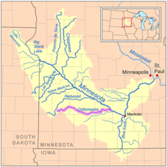
Cottonwoodmnrivermap
500 x 500 - 27,846k - png
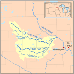
Crow Mnrivermap
500 x 500 - 22,244k - png
Fremont Township, Minnesota Map
900 x 1080 - 13,582k - png
Grpo Map
2338 x 1079 - 130,586k - png
I 35w Bridge
920 x 669 - 26,960k - png
Isleroyaleagreement 1
1045 x 800 - 77,618k - jpg
Lacqueparlerivermap
500 x 500 - 27,981k - png
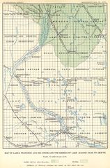
Lake Agassiz, Southern Outlet
624 x 950 - 225,039k - jpg
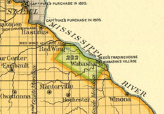
Lake Pepin Half Breed
955 x 666 - 386,782k - png
Lcottonwoodmnrivermap
500 x 500 - 28,116k - png
Mnmap Doton Saint Paul
595 x 683 - 6,751k - png
Mnnr Map
1082 x 872 - 26,390k - png
Mnriverbasins
550 x 550 - 20,977k - gif
Mntopo
1450 x 1540 - 1,369,926k - gif
Mntopo2
1450 x 1540 - 1,368,972k - gif
Map Minnesota West Na
1268 x 1825 - 420,667k - jpg
Map of Minnesota Na 2
1453 x 1890 - 442,863k - jpg
Map of Minnesota Highlighting Iron Range
500 x 569 - 15,294k - png
Map of Usa Mn
920 x 598 - 29,232k - png
Map of Usa Highlighting Minnesota
280 x 183 - 9,679k - png
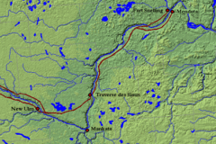
Map, Traverse Des Sioux
630 x 420 - 221,289k - gif