MapSof
.net
Places
Countries
States
Capital Cities
All Places
Maps
Physical Maps
Political Maps
Historical Maps
All Maps
Tools
Distance Calculator
Address Locator
Geocoder
Street View
Coordinate Finder
Distances
Countries
States
Cities
Maps
Distance Calculator
Geocoder
Distances
Home
/
Oceania
/
Australia
/
South Australia
/
Adelaide
/
Adelaide
/
Maps
/
Location Map of Adelaide
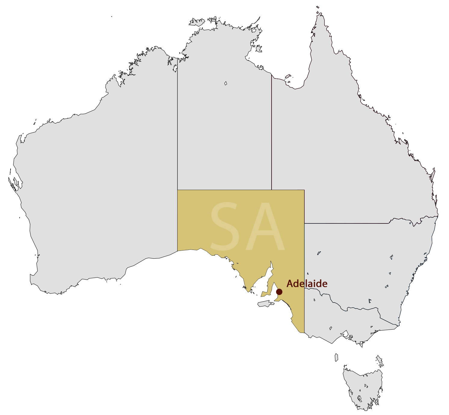
Location Map of Adelaide
Click on the
Location Map of Adelaide
to view it full screen.
File Type:
png,
File size:
51421 bytes (50.22 KB),
Map Dimensions:
1493px x 1380px (256 colors)