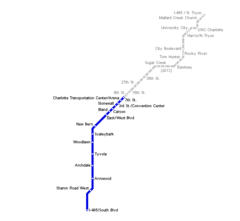
Charlotte Light Rail Map (metro)
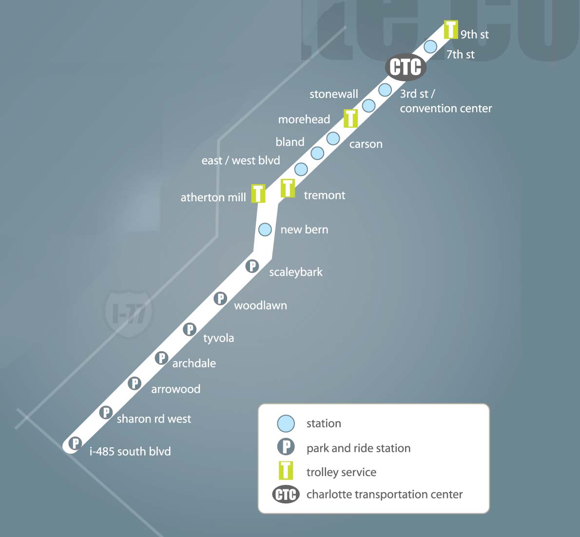
Click on the Charlotte Light Rail Map (metro) to view it full screen. File Type: jpg, File size: 54228 bytes (52.96 KB), Map Dimensions: 1190px x 1102px (16777216 colors)
More Charlotte Static Maps

Charlotte Airport Location Map
791 x 800 - 115,937k - png
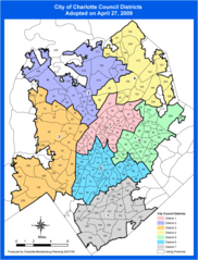
Charlotte Districts Map
990 x 1300 - 127,007k - png

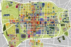
Charlotte Downtown Map (city Center)
1399 x 1202 - 208,845k - png
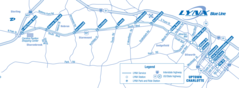
Charlotte Light Rail Map
1599 x 588 - 95,975k - png
Charlotte Light Rail Map (metro)
1190 x 1102 - 54,228k - jpg
Charlotte Tourist Map
2250 x 1504 - 553,965k - jpg
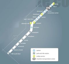
Charlotte Metro Map
577 x 532 - 4,311k - png