California Cities Map
As the most populous state, California contains several large metro regions.
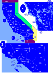
The San Francisco Bay Area
The San Francisco Bay Area encompasses major cities like San Francisco, Oakland, and San Jose, forming the second largest metropolitan area in California. It is renowned for its iconic Golden Gate Bridge, tech industry, and liberal politics.
Greater Los Angeles
Greater Los Angeles spans LA and surrounding areas like Long Beach, Anaheim, and Irvine. It is the largest metro region in California and home to Hollywood, Beverly Hills, and renowned beaches.
San Diego Metro
The San Diego metro consists of southern beach cities like San Diego, Carlsbad, and Oceanside. It is best known for its sunny weather, family attractions, and military bases.
Sacramento Metro
The Sacramento metropolitan area includes the state capital Sacramento and suburbs in the Central Valley region like Roseville and West Sacramento.
San Joaquin Valley Cities
The San Joaquin Valley contains metro areas like Fresno, Bakersfield, and Stockton, which rely on agriculture and energy industries.
California contains major economic and population centers, but also smaller towns with their own unique character.
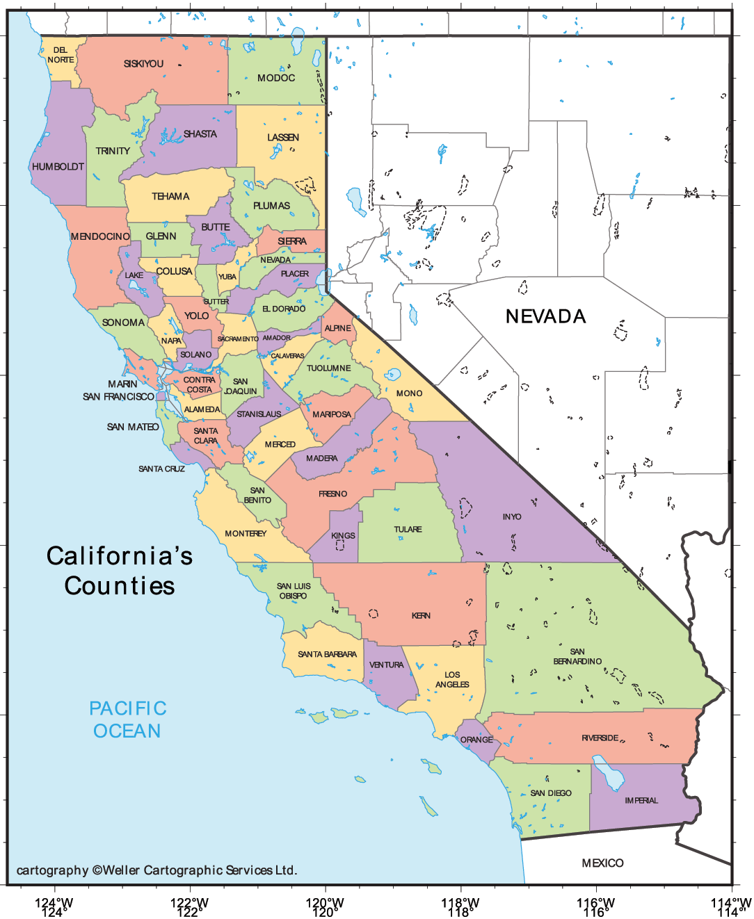
More California Static Maps
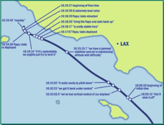
Alaska Airlines Flight 261 Path
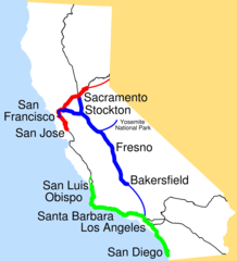
Amtrak California Simplified Map
Area Codes Ca
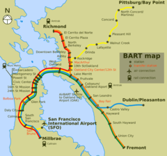
Bart Map
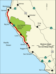
Bigsurmap
Blueca
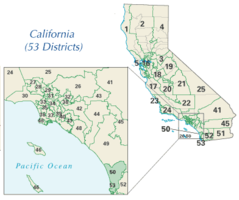
Ca District 50 Location
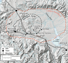
Calderarelief Large
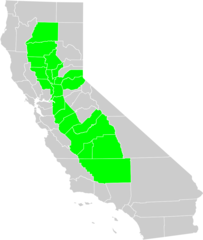
California Central Valley County Map

California Centralvalley County Map
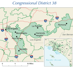
California District 38 2004
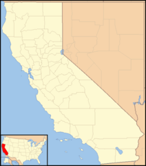
California Locator Map With Us
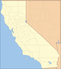
California Locator Map
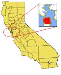
California Map Showing San Francisco County
California Map
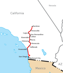
California Southern Railroad Route Map
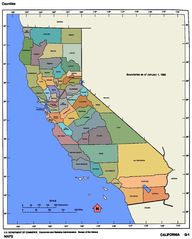
California Counties 300
California Counties Map1
California County Map (alameda County Highlighted)
California County Map (alpine County Highlighted)
California County Map (amador County Highlighted)
California County Map (butte County Highlighted)
California County Map (calaveras County Highlighted)
California County Map (colusa County Highlighted)
California County Map (contra Costa County Highlighted)
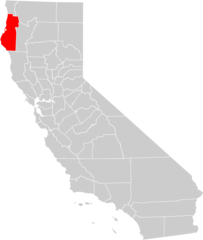
California County Map (del Norte County Highlighted)
California County Map (el Dorado County Highlighted)
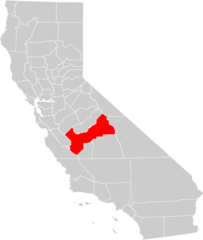
California County Map (fresno County Highlighted)
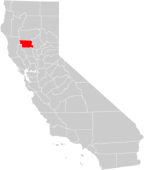
California County Map (glenn County Highlighted)