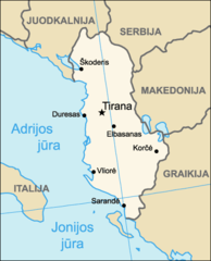
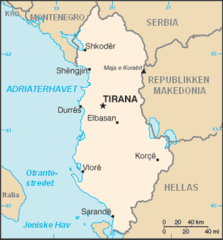
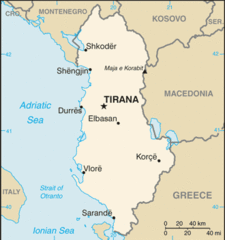
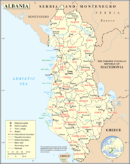
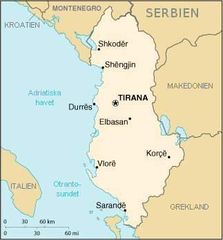
Albanijamapa
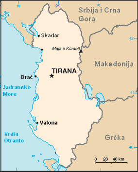
Click on the Albanijamapa to view it full screen. File Type: png, File size: 7410 bytes (7.24 KB), Map Dimensions: 284px x 355px (256 colors)
More Republic of Albania Static Maps
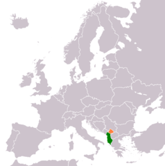
Europe Location Al
599 x 599 - 28,129k - png
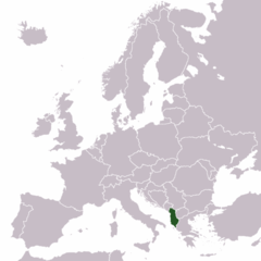
Locationofalbania
920 x 460 - 32,148k - png
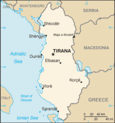
Al Mapa
330 x 354 - 9,114k - png
Al Map
330 x 353 - 12,223k - gif
Albania (lithuania)
394 x 487 - 14,816k - png
Albania Kosovo Locator 2
1236 x 1245 - 28,901k - png
Albania Orthodox Diocese
482 x 1066 - 12,671k - png
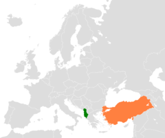
Albania Turkey Locator
1200 x 1000 - 24,686k - png
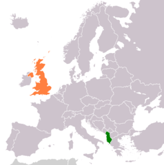
Albania United Kingdom Locator
1236 x 1245 - 28,753k - png
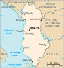
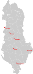
Albania Map No
330 x 355 - 10,005k - png
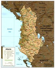
Albania Relief
1019 x 1274 - 212,135k - jpg

Albania Cia Wfb Map
330 x 352 - 14,773k - png
Albania Map
330 x 352 - 16,213k - gif
Albanian Embassies
1425 x 625 - 18,187k - png
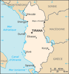
Albanie Carte
330 x 354 - 10,439k - png
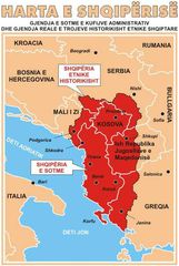
Ethnic Albania
467 x 695 - 49,444k - jpg
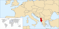
Europe Location Alb
1200 x 900 - 245,636k - png
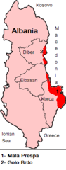
Malaprespaigolobrdo
178 x 455 - 7,390k - png
Roman Catholic Diocese In Albania
482 x 1066 - 12,263k - png
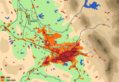
Tirana Expansion
1407 x 981 - 68,583k - png
Un Albania
1200 x 1505 - 289,751k - png
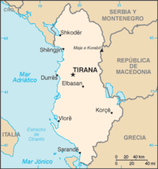
Albania Map Es
330 x 354 - 10,247k - png
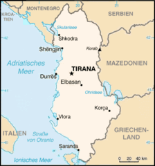
Albanien Karte
331 x 355 - 16,045k - png
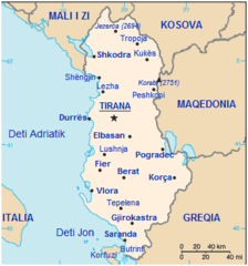
Albania Map 2
330 x 355 - 10,393k - png

Albanijamapa
284 x 355 - 7,410k - png
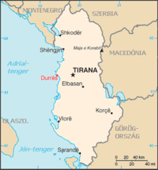
Albanien Karta
323 x 347 - 13,158k - jpg
Albania Durres
330 x 355 - 8,826k - png
Albanianmapshqip
332 x 356 - 10,227k - png
Gora Region Map Blank
1898 x 2336 - 25,169k - png
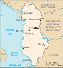
Albania Map Blank
920 x 920 - 34,690k - png