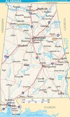
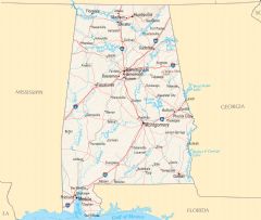
Alabama Road Map
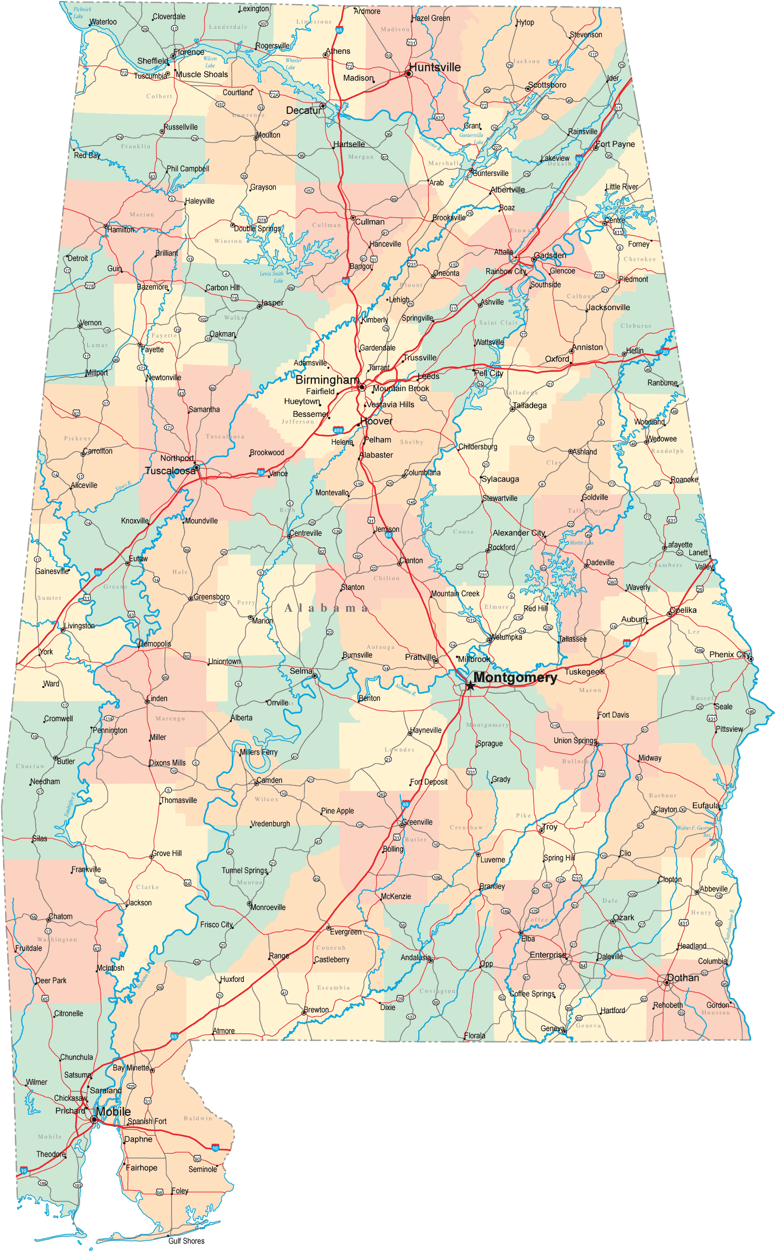
Click on the Alabama Road Map to view it full screen. File Type: png, File size: 318307 bytes (310.85 KB), Map Dimensions: 1540px x 2484px (256 colors)
More Alabama Static Maps
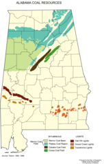
Alabama Coal Resources
1907 x 2997 - 128,168k - png
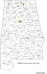
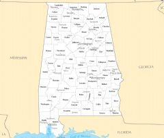
Alabama Counties
840 x 1319 - 145,801k - png
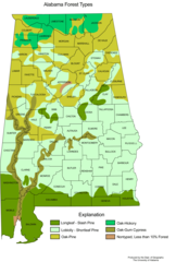
Alabama Forest Types
1834 x 2719 - 152,312k - png
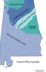
Alabama General Physiography
1793 x 2807 - 117,611k - png
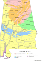
Alabama Map Soils
2137 x 3042 - 210,010k - png
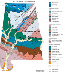
Alabama Physiographic Regions
2391 x 2660 - 322,557k - png
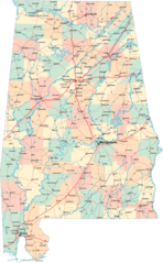
Alabama Road Map
1540 x 2484 - 318,307k - png
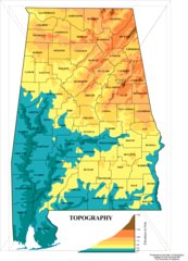
Alabama Topographic Map
2053 x 2840 - 215,719k - png
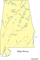
Albama Major Rivers Map
1868 x 2779 - 152,927k - png
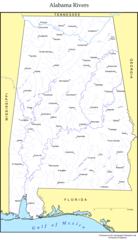
Albama Rivers Map
1689 x 2939 - 226,257k - png
Map of Alabama Terrain Na
810 x 1340 - 250,230k - jpg

Alabama Flag Map
938 x 1491 - 22,931k - png
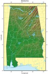
Alabama Relief Map
1059 x 1612 - 216,753k - jpg
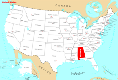
Where Is Alabama Located
1476 x 1002 - 135,406k - png
Alabama Cities And Towns
2448 x 2061 - 150,627k - PNG
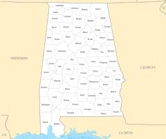
Alabama County Map
2457 x 2070 - 119,215k - PNG
Alabama Reference Map
2443 x 2071 - 674,801k - PNG
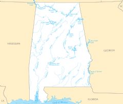
Alabama Rivers And Lakes
2454 x 2079 - 148,285k - PNG
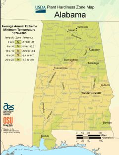
Alabama Plant Hardiness Zone Map
2220 x 2888 - 298,884k - PNG