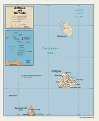
Ac Map (lt)
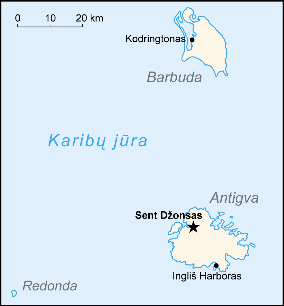
Click on the Ac Map (lt) to view it full screen. File Type: png, File size: 22438 bytes (21.91 KB), Map Dimensions: 984px x 1060px (256 colors)
More Antigua and Barbuda Static Maps

Ac Map (lt)
984 x 1060 - 22,438k - png
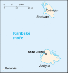
Ac Map Cs
330 x 355 - 6,085k - gif
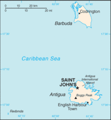
Ac Map
329 x 354 - 6,960k - gif
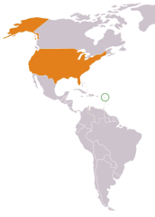
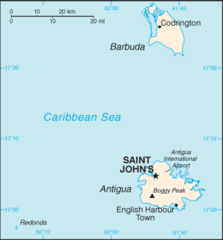
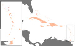
Antigua And Barbuda Usa Locator
450 x 628 - 6,404k - png
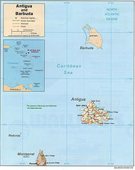
Antigua And Barbuda Cia Wfb Map
329 x 354 - 6,332k - png
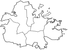
Antigua Parishes Blank
2000 x 1481 - 25,919k - png
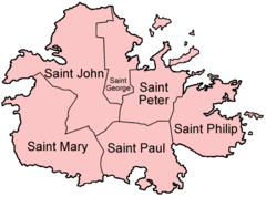
Antigua Parishes English
500 x 370 - 13,395k - png
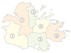
Antigua Parishes Numbered (color)
565 x 424 - 15,531k - png
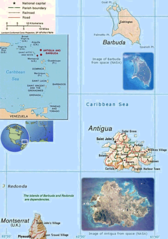
Karibik Antigua Und Barbuda Position
1024 x 636 - 14,075k - png
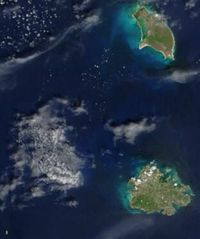
Satellite Image of Antigua And Barbuda In September 2002
311 x 372 - 16,252k - jpg
Antigua And Barbuda Map
984 x 1238 - 196,631k - jpg
Antigua Barbuda
730 x 1038 - 210,275k - png
Antigua Barbuda Map
1065 x 1301 - 413,037k - jpg