MapSof
.net
Places
Countries
States
Capital Cities
All Places
Maps
Physical Maps
Political Maps
Historical Maps
All Maps
Tools
Distance Calculator
Address Locator
Geocoder
Street View
Coordinate Finder
Distances
Countries
States
Cities
Maps
Distance Calculator
Geocoder
Distances
Home
/
Maps
/
Physical Maps
Physical Maps
Browse our collection of physical maps from around the world.
Physical
Political
Historical
Relief
Climate
Thematic
Elevation
Satellite
Road
Topo
Street
Contour
Election
Showing
12
maps
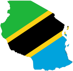
Tanzania Flag Map
United Republic of Tanzania
2048x1988 · 51,726k · png
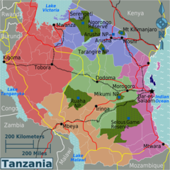
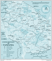
Tanzania Regions Map
United Republic of Tanzania
1749x1747 · 268,555k · png
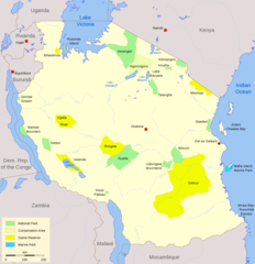
Parks Tanzania Map
United Republic of Tanzania
2000x2068 · 197,891k · png
Tanzania Map
United Republic of Tanzania
978x1152 · 225,524k · jpg
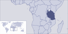
Where Is Tanzania Located
United Republic of Tanzania
1000x500 · 40,107k · png
Tanzania
United Republic of Tanzania
1937x2262 · 435,995k · png
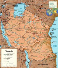
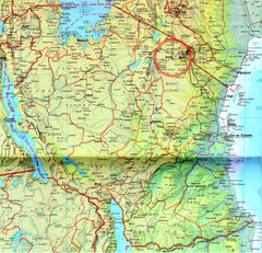
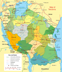
Tanzania Detailed Map
United Republic of Tanzania
1250x1204 · 496,240k · jpg
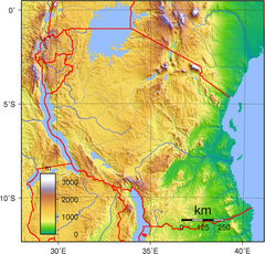
Tanzania Physical
United Republic of Tanzania
1600x1536 · 865,170k · jpg
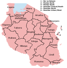
Regions of Tanzania
United Republic of Tanzania
536x546 · 16,187k · png
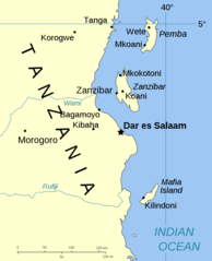
Spice Islands (tanzania)
United Republic of Tanzania
1000x1233 · 51,930k · png
Tanzania Political Map
United Republic of Tanzania
516x597 · 118,177k · png
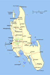
Tanzania Zanzibar Map
United Republic of Tanzania
1000x1503 · 72,560k · png