MapSof
.net
Places
Countries
States
Capital Cities
All Places
Maps
Physical Maps
Political Maps
Historical Maps
All Maps
Tools
Distance Calculator
Address Locator
Geocoder
Street View
Coordinate Finder
Distances
Countries
States
Cities
Maps
Distance Calculator
Geocoder
Distances
Home
/
Maps
/
Physical Maps
Physical Maps
Browse our collection of physical maps from around the world.
Physical
Political
Historical
Relief
Climate
Thematic
Elevation
Satellite
Road
Topo
Street
Contour
Election
Showing
14
maps
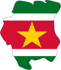
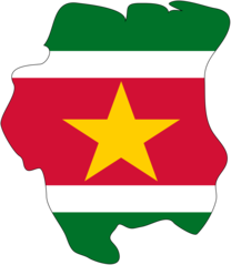
Flag Map of Suriname
Republic of Suriname
904x1039 · 14,579k · png
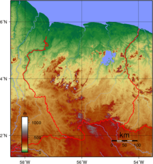
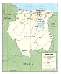
Suriname Topography
Republic of Suriname
950x1015 · 436,808k · png
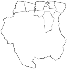
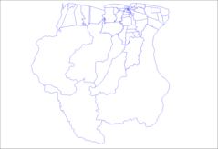
Suriname Districts Blank
Republic of Suriname
2000x2047 · 22,007k · png
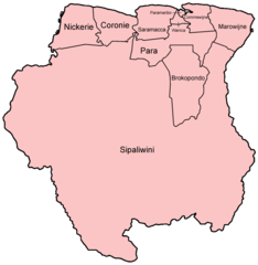
Suriname Districts Named
Republic of Suriname
750x768 · 19,174k · png
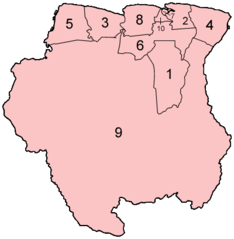
Suriname Districts Numbered
Republic of Suriname
400x409 · 8,284k · png
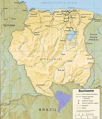
Suriname Map
Republic of Suriname
370x357 · 7,677k · png
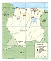
Suriname Pol91
Republic of Suriname
1078x1300 · 177,177k · jpg
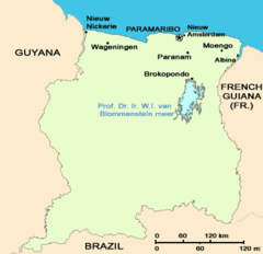
Suriname Resorts
Republic of Suriname
1281x878 · 13,289k · png
Suriname1991 Karte Umstrittene Gebiete
Republic of Suriname
1078x1300 · 119,746k · jpg
Suriname Flag Map
Republic of Suriname
2048x2354 · 61,006k · png
Suriname Map 1
Republic of Suriname
968x1132 · 130,437k · jpg
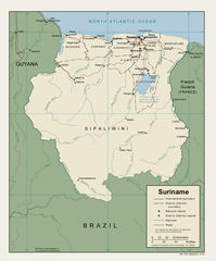
Suriname Political Map
Republic of Suriname
1078x1300 · 563,391k · jpg
Suriname Political Map 1991
Republic of Suriname
1078x1300 · 177,177k · jpg
Where Is Suriname Located
Republic of Suriname
1000x1000 · 88,965k · png