MapSof
.net
Places
Countries
States
Capital Cities
All Places
Maps
Physical Maps
Political Maps
Historical Maps
All Maps
Tools
Distance Calculator
Address Locator
Geocoder
Street View
Coordinate Finder
Distances
Countries
States
Cities
Maps
Distance Calculator
Geocoder
Distances
Home
/
Maps
/
Physical Maps
Physical Maps
Browse our collection of physical maps from around the world.
Physical
Political
Historical
Relief
Climate
Thematic
Elevation
Satellite
Road
Topo
Street
Contour
Election
Showing
6
maps
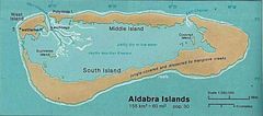
Aldabra Islands Seychelles 76
Republic of Seychelles
847x374 · 59,435k · jpg
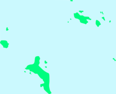
Inner Islands Blank Seychelles
Republic of Seychelles
920x744 · 7,210k · png
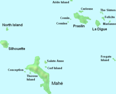
Seychelles Inner Islands
Republic of Seychelles
534x431 · 8,573k · png
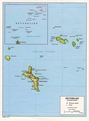
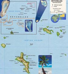
Seychelles Large Map
Republic of Seychelles
1102x1504 · 171,307k · jpg
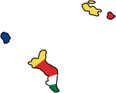
Seychelles Flag Map
Republic of Seychelles
2048x1641 · 29,071k · png
Seychelles Map
Republic of Seychelles
1020x1109 · 149,461k · jpg