MapSof
.net
Places
Countries
States
Capital Cities
All Places
Maps
Physical Maps
Political Maps
Historical Maps
All Maps
Tools
Distance Calculator
Address Locator
Geocoder
Street View
Coordinate Finder
Distances
Countries
States
Cities
Maps
Distance Calculator
Geocoder
Distances
Home
/
Maps
/
Physical Maps
Physical Maps
Browse our collection of physical maps from around the world.
Physical
Political
Historical
Relief
Climate
Thematic
Elevation
Satellite
Road
Topo
Street
Contour
Election
Showing
9
maps
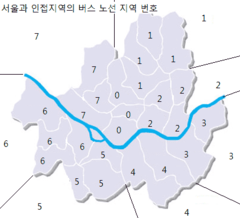
Bus Number Area of Seoul
Seoul
406x368 · 23,252k · png
Image Map Seoul Teukbyeolsi Big
Seoul
2760x2760 · 148,466k · png
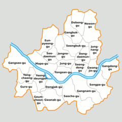
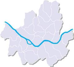
Map Seoul Districts De
Seoul
2760x2760 · 134,877k · png
Map Seoul Teukbyeolsi
Seoul
1181x1057 · 22,979k · gif
Seoul Bus Map
Seoul
884x884 · 28,180k · png
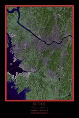
Seoul 126 73851e 37 61213n
Seoul
1280x958 · 263,908k · jpg
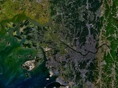
Seoul Satellite Map
Seoul
738x1100 · 122,136k · jpg
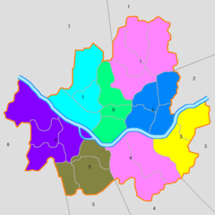
The Administration Map of Seoul Special City
Seoul
331x301 · 7,649k · jpg
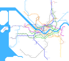
Seoul Metro Map
Seoul
2164x1910 · 75,595k · png