MapSof
.net
Places
Countries
States
Capital Cities
All Places
Maps
Physical Maps
Political Maps
Historical Maps
All Maps
Tools
Distance Calculator
Address Locator
Geocoder
Street View
Coordinate Finder
Distances
Countries
States
Cities
Maps
Distance Calculator
Geocoder
Distances
Home
/
Maps
/
Physical Maps
Physical Maps
Browse our collection of physical maps from around the world.
Physical
Political
Historical
Relief
Climate
Thematic
Elevation
Satellite
Road
Topo
Street
Contour
Election
Showing
9
maps
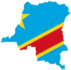
Democratic Republic of the Congo Flag Map
Democratic Republic of the Congo
2048x2019 · 46,848k · png
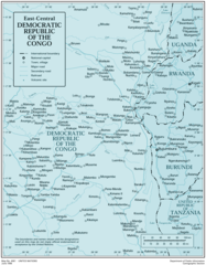
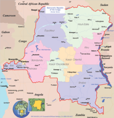
Democratic Republic of the Congo
Democratic Republic of the Congo
1963x2515 · 372,082k · png
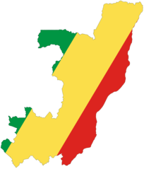
Republic of the Congo Flag Map
Republic of the Congo
2048x2401 · 67,204k · png
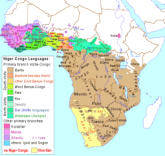
Niger Congo Language Map
Republic of Niger
1200x1132 · 134,949k · png
Niger Congo Map
Africa
1207x1139 · 65,634k · png
Congo Political Map
Congo
800x830 · 134,413k · png
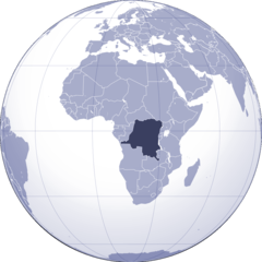
Where Is Democratic Republic of Congo Located
Congo
1000x1000 · 102,466k · png
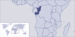
Where Is Republic of Congo Located
Congo
1000x500 · 40,106k · png
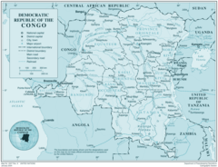
Drcongo
Congo
2532x1936 · 463,081k · png