MapSof
.net
Places
Countries
States
Capital Cities
All Places
Maps
Physical Maps
Political Maps
Historical Maps
All Maps
Tools
Distance Calculator
Address Locator
Geocoder
Street View
Coordinate Finder
Distances
Countries
States
Cities
Maps
Distance Calculator
Geocoder
Distances
Home
/
Maps
/
Physical Maps
Physical Maps
Browse our collection of physical maps from around the world.
Physical
Political
Historical
Relief
Climate
Thematic
Elevation
Satellite
Road
Topo
Street
Contour
Election
Showing
12
maps
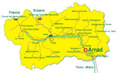
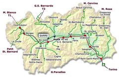
Aosta Valley Map
Regione Autonoma Valle d'Aosta
700x431 · 52,299k · png
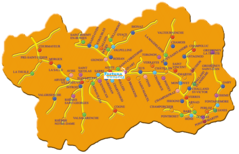
Aosta Valley Map 2
Regione Autonoma Valle d'Aosta
1141x735 · 179,364k · png
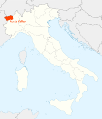
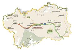
Location of Aosta Valley Map
Regione Autonoma Valle d'Aosta
1338x1548 · 99,179k · png
Map of Aosta Valley
Regione Autonoma Valle d'Aosta
600x390 · 49,387k · jpg
Map of Aosta Valley 2
Regione Autonoma Valle d'Aosta
619x403 · 56,778k · jpg
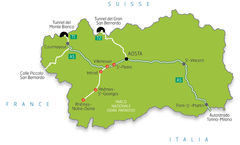
Map of Aosta Valley 3
Regione Autonoma Valle d'Aosta
690x473 · 50,851k · jpg
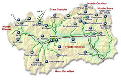
Map of Aosta Valley 4
Regione Autonoma Valle d'Aosta
764x534 · 162,028k · jpg
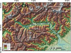
Physical Map Aosta Valley
Regione Autonoma Valle d'Aosta
2000x1505 · 629,343k · jpg
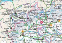
Aosta Valley Map 3
Aosta
1078x652 · 74,996k · jpg
Aosta Valley Map 2 3
Aosta
800x560 · 90,340k · jpg
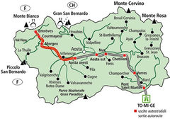
Aosta Valley Tourism Map
Aosta
650x430 · 71,589k · jpg
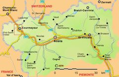
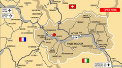
Aosta Valley Transport Map
Aosta
700x390 · 71,204k · jpg