Karachi Administrative Divisions

Click on the Karachi Administrative Divisions to view it full screen. File Type: png, File size: 49129 bytes (47.98 KB), Map Dimensions: 820px x 796px (256 colors)
More Karachi Static Maps
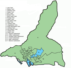
Karachi Administrative Divisions
820 x 796 - 49,129k - png
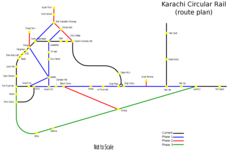
Karachi Circular Rail Route
2000 x 1298 - 52,000k - png
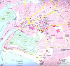
Karachi City Center
980 x 915 - 92,763k - jpg
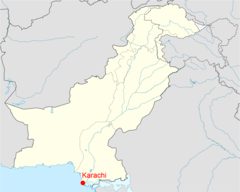
Location of Karachi Pakistan Map
1800 x 1438 - 168,799k - png