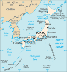
Ancient Japan Provinces Map
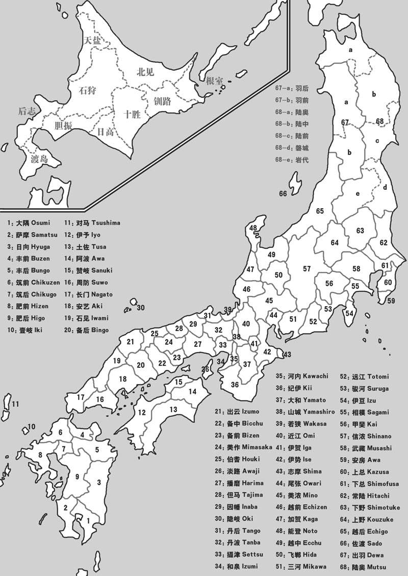
Click on the Ancient Japan Provinces Map to view it full screen. File Type: jpg, File size: 113630 bytes (110.97 KB), Map Dimensions: 800px x 1129px (256 colors)
More Japan Static Maps
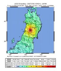
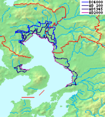
2008 Iwate Earthquake Intensity
612 x 711 - 63,139k - jpg
Ancient Japan Provinces Map Japanese
800 x 1129 - 250,094k - gif
Ancient Japan Provinces Map
800 x 1129 - 113,630k - jpg
Ariake Sea Coastline
180 x 200 - 12,251k - png
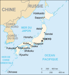
Cartedujapon
351 x 377 - 19,608k - png
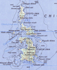
Chichijima Retto
457 x 559 - 223,933k - png
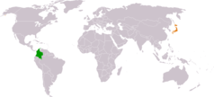
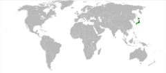
Colombia Japan Locator
1325 x 601 - 16,397k - png
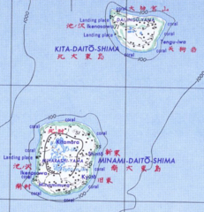
Daito Shoto
489 x 507 - 181,035k - png
Dokdo Map
748 x 683 - 10,005k - png
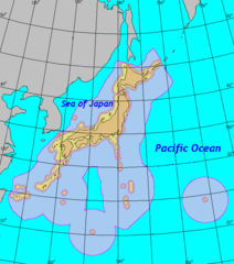
Eez of Japan
651 x 738 - 19,083k - png
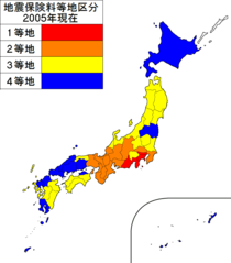
Earthquake Insurance Consultation of Japan 2005
1397 x 1593 - 28,095k - png
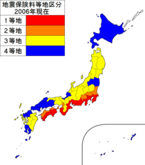
Earthquake Insurance Consultation of Japan 2006
1397 x 1593 - 28,125k - png
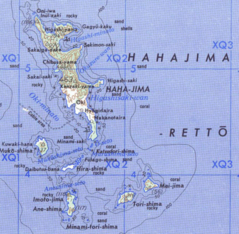
Hahajima Retto
619 x 605 - 295,854k - png
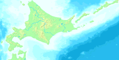
Hokkaido Map Small
300 x 152 - 9,090k - png
Inlandsea
1700 x 1200 - 193,555k - jpg
Ja Map
912 x 979 - 171,597k - png
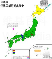
Japan Administrative Zh Cn
1397 x 1593 - 173,172k - jpg
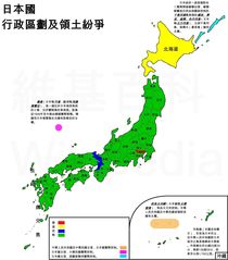
Japan Administrative Zh Tw
1397 x 1593 - 174,702k - jpg
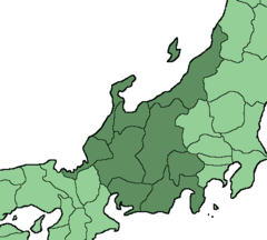
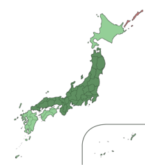
Japan Chubu Region
453 x 408 - 8,388k - png
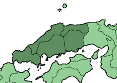
Japan Chugoku Region Large
1397 x 1593 - 28,158k - png
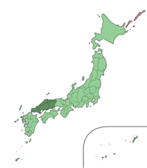
Japan Chugoku Region
369 x 261 - 5,821k - png
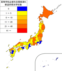
Japan High School Rishumore Map 2006
1397 x 1593 - 32,533k - png
Japan Hokkaido Large
1397 x 1593 - 28,102k - png
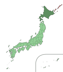
Japan Honshu Large
1397 x 1593 - 28,114k - png

Japan Kansai Region Large
1397 x 1593 - 28,376k - png
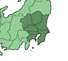
Japan Kanto Region Large
1397 x 1593 - 27,196k - png
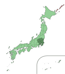
Japan Kanto Region
366 x 327 - 5,361k - png
Japan Kinki Region Large
1397 x 1593 - 27,395k - png
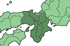
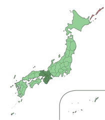
Japan Kinki Region
399 x 261 - 6,579k - png
Japan Kosovo Locator
920 x 406 - 27,280k - png