Hong Kong, HK
Hong Kong: a special administrative region located on the southeastern coast of China, known for its deep natural harbor and impressive skyline.
About

Quick Facts about Hong Kong
| Population | 7,527,500 |
| Country | People's Republic of China, British Empire |
| Official name | Hong Kong, Hong Kong Special Administrative Region of the People's Republic of China, 香港, 中華人民共和國香港特別行政區 |
| Continent | Asia |
| Latitude & Longitude | 22.2840,114.1501 |
| Legislative body | Legislative Council of Hong Kong |
| Official language | written Chinese language, English, Standard Chinese, Cantonese |
| Altitude | 23 feet / 7 meters |
| Time Zone | UTC+08:00 |
| Local time | 01:29:37 (10th June 2026) |

Hong Kong Night Skyline image
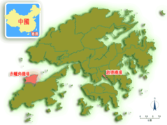
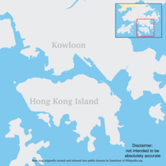
Geography
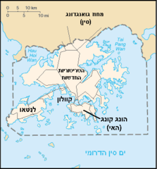
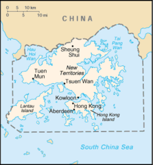
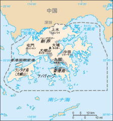
Hong Kong is located at 22°17'2"N 114°9'0"E (22.2840136009625, 114.15007352829).
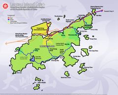
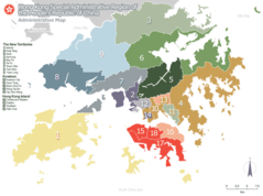
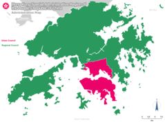
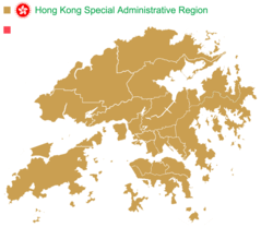
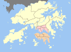
Hong Kong map
Click "full screen"  icon to open full mode. View satellite images
Official website of Hong Kong
Official Website- Wan Chai District
- Central and Western District
- Yuen Long District
- Yau Tsim Mong District
- Islands District
- Tai Po District
- Sai Kung District
- Kowloon City District
- Tuen Mun District
- Sha Tin District
- Wong Tai Sin District
- Sham Shui Po District
- Kwun Tong District
- Eastern District
- Tsuen Wan District
- Southern District
- North District
- Kwai Tsing District
Demographics
| Year | Population | % Change | Method |
|---|---|---|---|
| 1961 | 3,129,648 | - | census |
| 1971 | 3,936,630 | 20.5% | census |
| 1976 | 4,402,990 | 10.59% | census |
| 1981 | 5,109,812 | 13.83% | census |
| 1986 | 5,495,488 | 7.02% | estimation process |
| 1991 | 5,674,114 | 3.15% | census |
| 1996 | 6,412,937 | 11.52% | census |
| 2001 | 6,708,389 | 4.4% | census |
| 2006 | 6,864,346 | 2.27% | census |
| 2011 | 7,071,576 | 2.93% | census |
| 2014 | 7,234,800 | 2.26% | estimation process |
| 2016 | 7,336,585 | 1.39% | census |
| 2017 | 7,409,800 | 0.99% | census |
| 2019 | 7,500,700 | 1.21% | census |
| 2026 | 7,527,500 | 0.36% |
Gonkong, Victoria, Гонконг
Map & Images (more maps)
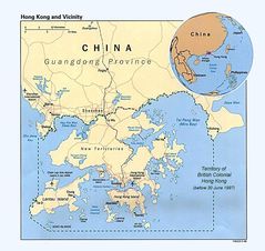
Cia Hongkong
1216 x 1150
- 209,083k -
jpg
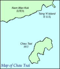
Chau Tsai
676 x 776
- 12,216k -
png
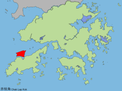
Cheklapkok
1024 x 768
- 52,238k -
png
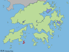
Cheungchau
1024 x 768
- 51,807k -
png
Concept Plan For Lantau
2048 x 1654
- 266,683k -
jpg
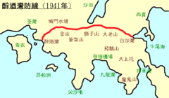
Gin Drinkers Line
600 x 350
- 15,486k -
png
Hk Map
329 x 353
- 11,899k -
png
Hk Lantau Map Zh
600 x 446
- 36,907k -
jpg
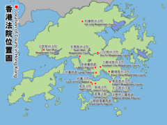
Hk Location of Courts
1024 x 768
- 127,632k -
png
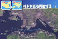
Hkvictoriaharbour Surroundinggeography
800 x 550
- 77,828k -
jpg
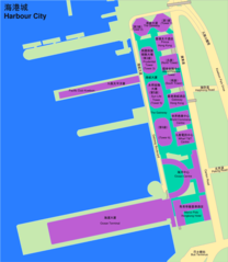
Harbour City
904 x 1040
- 40,338k -
png
Hk Map 18 Heb
1454 x 1083
- 68,735k -
png
Hk Map 18
1454 x 1083
- 78,961k -
png
Hk Map Uc Lc
1454 x 1083
- 60,231k -
png
Hk Map He
330 x 355
- 10,212k -
png
Hk Map Colonial
330 x 355
- 11,412k -
png
Hk Map Ja
329 x 353
- 15,448k -
png
Hkairports
600 x 446
- 28,451k -
png
Hong Kong Base Map Urban
920 x 920
- 27,442k -
png
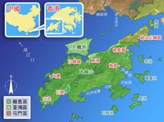
Hong Kong District Locator (template Map)
1344 x 1168
- 48,884k -
png
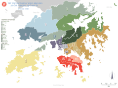
Hong Kong Districts
920 x 685
- 29,515k -
png