Counties Map of Hawaii
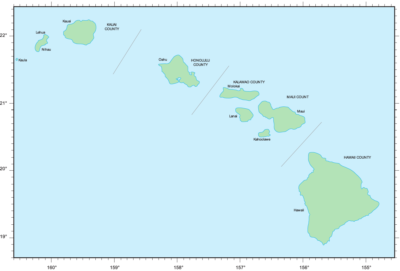
Click on the Counties Map of Hawaii to view it full screen. File Type: png, File size: 23020 bytes (22.48 KB), Map Dimensions: 1400px x 948px (256 colors)
More Hawaii Static Maps
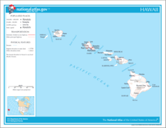
Map of Hawaii Na 1
1200 x 927 - 53,277k - png
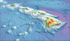
2003 3d Hawaiian Islands Usgs I2809
988 x 581 - 68,974k - jpg
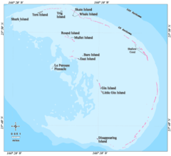
Ffs Map Lrg
600 x 549 - 16,211k - png
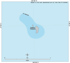
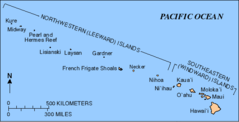
Gardner Map Lrg
600 x 542 - 9,066k - gif
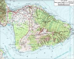
Haleakalamap
1000 x 800 - 187,059k - jpg
Hawaii Island Ecosystem Native Map Fr
920 x 711 - 113,305k - png
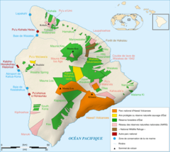
Hawaii Island Protected Areas Map Fr
920 x 825 - 153,115k - png

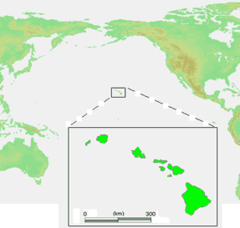
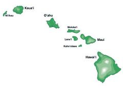
Hawaii Islands
436 x 414 - 14,613k - png
Hawaii Islands2
287 x 273 - 11,046k - png
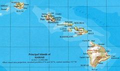
Hawaii Map
700 x 415 - 58,914k - jpg
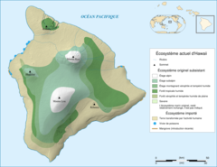
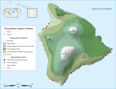
Hawaii Ecosystem Today
920 x 711 - 126,798k - png
Hawaii Gmt De
1420 x 802 - 122,161k - jpg
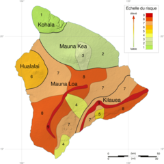
Hawaii Hazard Map Fr
920 x 920 - 160,965k - png
Hawaii Islands 3
450 x 323 - 7,529k - jpg
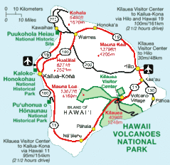
Hawaii National Parks Map
590 x 572 - 41,219k - gif

Hawaii Population Map 1
660 x 480 - 8,940k - png
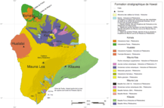
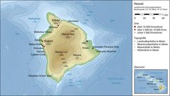
Hawaii Stratigraphic Map Fr
920 x 610 - 47,005k - png
Hawaii Counties Map
660 x 692 - 7,319k - gif
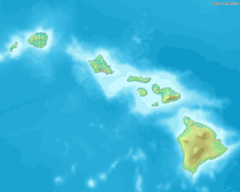
Hawaiianislandchain Usgs
571 x 292 - 7,770k - png
Karte Des Hawaiarchipels
733 x 505 - 66,815k - jpg
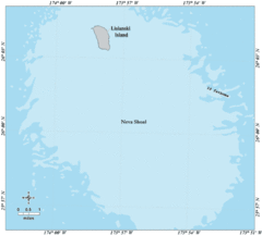
Kure Map Lrg
600 x 541 - 19,015k - gif
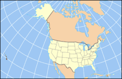
La2 Demis Hawaii
790 x 633 - 47,364k - png
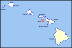
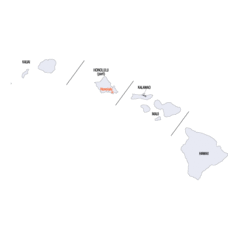
Lanai Island Location (southeastern Islands)
1024 x 692 - 16,061k - png
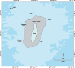
Laysan Map Lrg
600 x 546 - 17,453k - gif
Lisianski Map Lrg
600 x 539 - 16,291k - gif
Locmap Hawaii Volcanoes National Park
280 x 183 - 9,954k - png
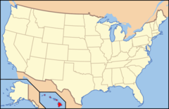
Map of Usa Hi Full
286 x 186 - 10,492k - png
Map of Usa Hi
920 x 598 - 29,222k - png

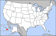
Map of Usa Highlighting Hawaii
280 x 183 - 9,682k - png
Maro Map Lrg
600 x 547 - 17,225k - gif