Oder Neisse Line Between Germany And Poland
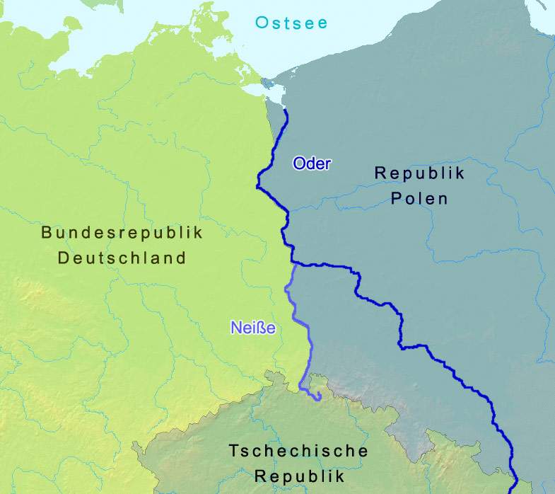
Click on the Oder Neisse Line Between Germany And Poland to view it full screen. File Type: jpg, File size: 41720 bytes (40.74 KB), Map Dimensions: 785px x 698px (16777216 colors)
More Federal Republic of Germany Static Maps
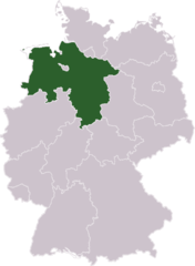
Germany Laender Niedersachsen
668 x 910 - 13,500k - png
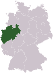
Germany Laender Nordrhein Westfalen
668 x 910 - 13,493k - png
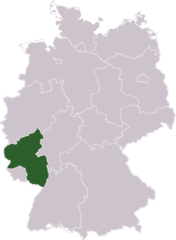
Germany Laender Rheinland Pfalz
668 x 910 - 13,432k - png
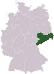
Germany Laender Sachsen
668 x 910 - 13,453k - png
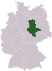
Germany Laender Sachsen Anhalt
668 x 910 - 13,423k - png
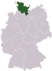
Germany Laender Schleswig Holstein
668 x 910 - 13,462k - png
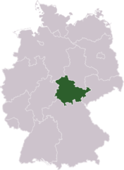
Germany Laender Thueringen
668 x 910 - 13,446k - png
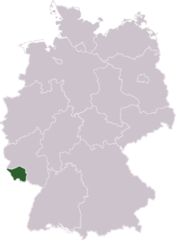
Germany Laender Saarland
668 x 910 - 13,383k - png
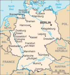
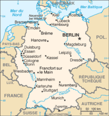
Germany Cia Wfb Map
328 x 352 - 16,887k - png
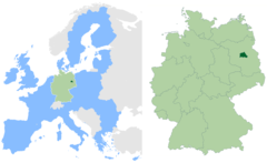
Berlin In Germany And Eu
2580 x 1585 - 108,119k - png
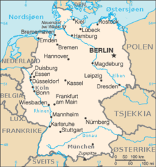
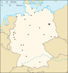
Tyskland Kart
328 x 352 - 15,712k - png
Deutschland Bundeslaender 1990
500 x 646 - 6,247k - png
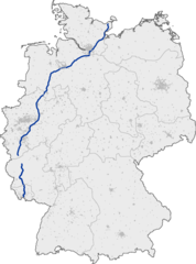
Bundesautobahn 1 Map
1122 x 1515 - 64,462k - png
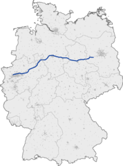
Bundesautobahn 2 Map
1122 x 1515 - 61,518k - png
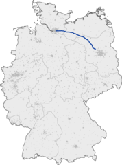
Bundesautobahn 24 Map
1122 x 1515 - 60,652k - png
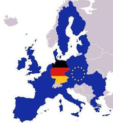
Map Europe With Europe And German Flag
380 x 412 - 20,609k - jpg
000 Gjermania Harta
351 x 377 - 13,211k - png
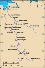
A Weser Watershed Closer
370 x 563 - 9,425k - gif
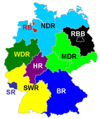
Ard Karte
920 x 776 - 17,327k - png
Ard
516 x 612 - 16,567k - png
Allemagne Carte
328 x 352 - 16,048k - png
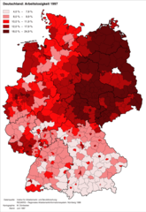
Arbeitslosigkeitindeutschland1997
920 x 1336 - 99,367k - png
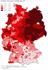
Arbeitslosigkeitindeutschland1997lat
920 x 1336 - 99,228k - png
Brd
1200 x 1409 - 284,743k - png
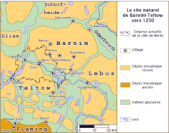
Barnimteltow En 1250
1817 x 1432 - 102,274k - png
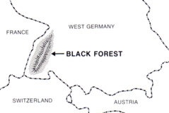
Black Forest (psf)
882 x 590 - 30,530k - png
Bundesligageografskipolozajtimova20052006
546 x 732 - 12,236k - png
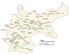
Camps De Prisonniers En Allemagne
920 x 737 - 50,442k - png
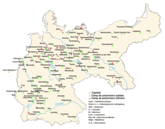
Camps De Soldats Et Officiers En Allemagne
920 x 716 - 50,021k - png
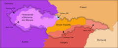
Czechoslovakia 1939he
2000 x 814 - 44,651k - png