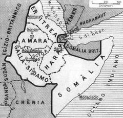
Italian East Africa 1936 1940
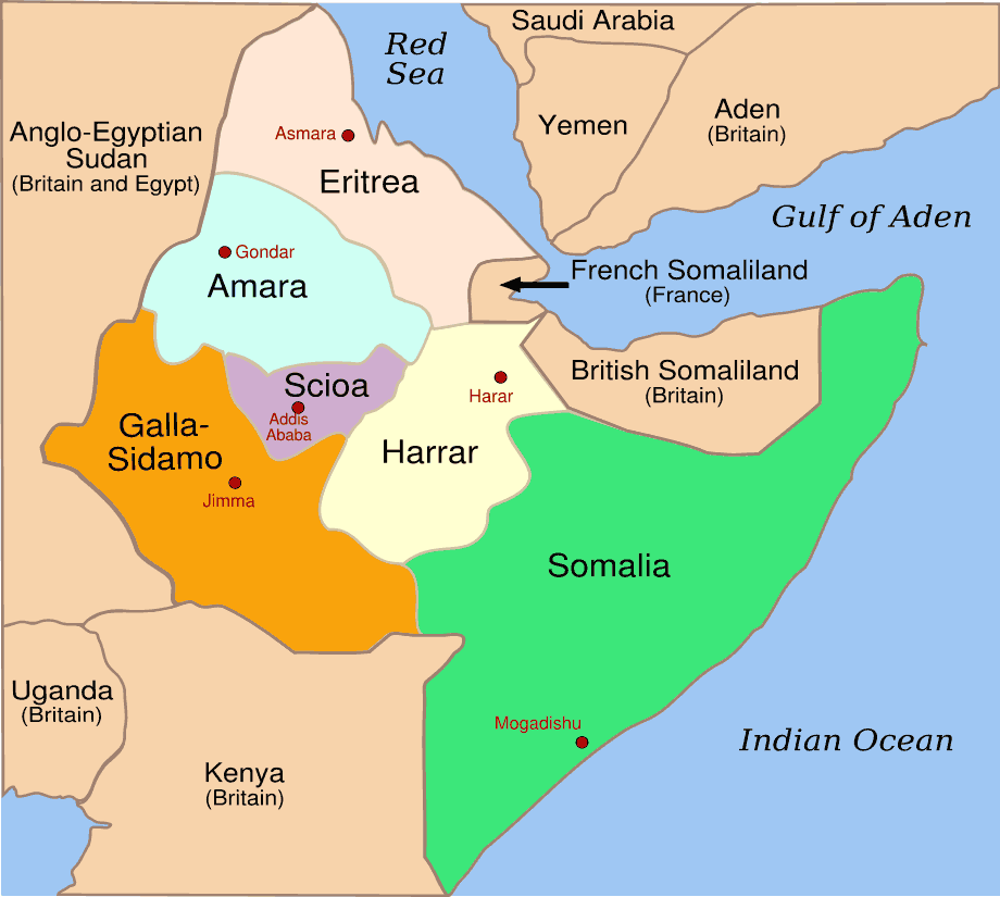
Click on the Italian East Africa 1936 1940 to view it full screen. File Type: png, File size: 30212 bytes (29.5 KB), Map Dimensions: 920px x 825px (256 colors)
More State of Eritrea Static Maps
000 Eritrea Harta
330 x 355 - 6,907k - png

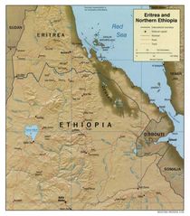
At0705 Map 3
1336 x 844 - 18,422k - png

At1007 Map 1
847 x 844 - 12,318k - png
Dahlak Archipelago 1
920 x 759 - 18,361k - png
Er Map
330 x 355 - 11,325k - gif
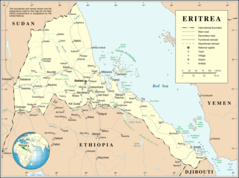
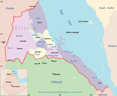
Eritrea Map
1046 x 1190 - 158,273k - jpg
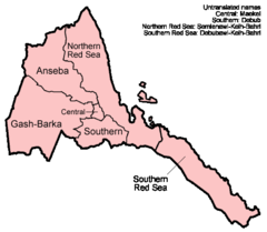
Eritrea Regions English
500 x 436 - 10,359k - png
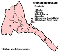
Eritrea Regions Numbered Cs
514 x 451 - 21,798k - png
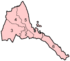
Eritrea Regions Numbered
400 x 351 - 6,053k - png
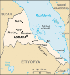
Eritrea Sm05 Tr
330 x 355 - 14,329k - gif
Eritreakaart
440 x 473 - 23,666k - png
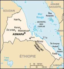
Erythree Carte
330 x 355 - 11,661k - png
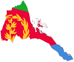
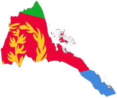
Flag Map of Eritrea
920 x 772 - 21,201k - png
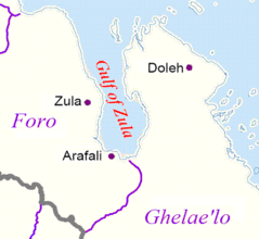
Gulf of Zula
423 x 389 - 19,736k - gif
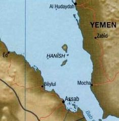
Hanish
290 x 296 - 10,414k - jpg

Italian East Africa 1936 1940
920 x 825 - 30,212k - png
Italian East Africa Map
349 x 336 - 34,163k - jpg
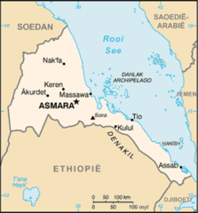
Mapa Eritreje
330 x 355 - 10,310k - png
Un Eritrea
1200 x 892 - 193,049k - png
Eritrea Flag Map
2048 x 1719 - 85,383k - png
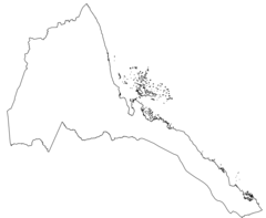
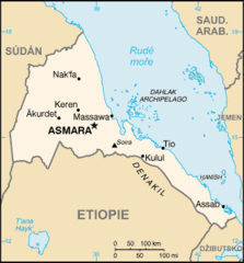
Eritrea Map Blank
2000 x 1643 - 60,583k - png
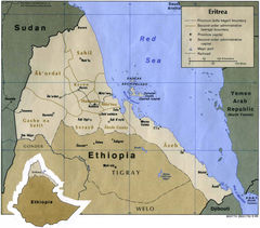
Eritrea Map Political
1184 x 1043 - 293,635k - jpg
Eritrea Political Map
931 x 766 - 73,893k - png
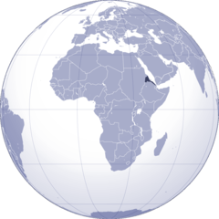
Where Is Eritrea Located
1000 x 1000 - 102,083k - png