England Political And Historical Map
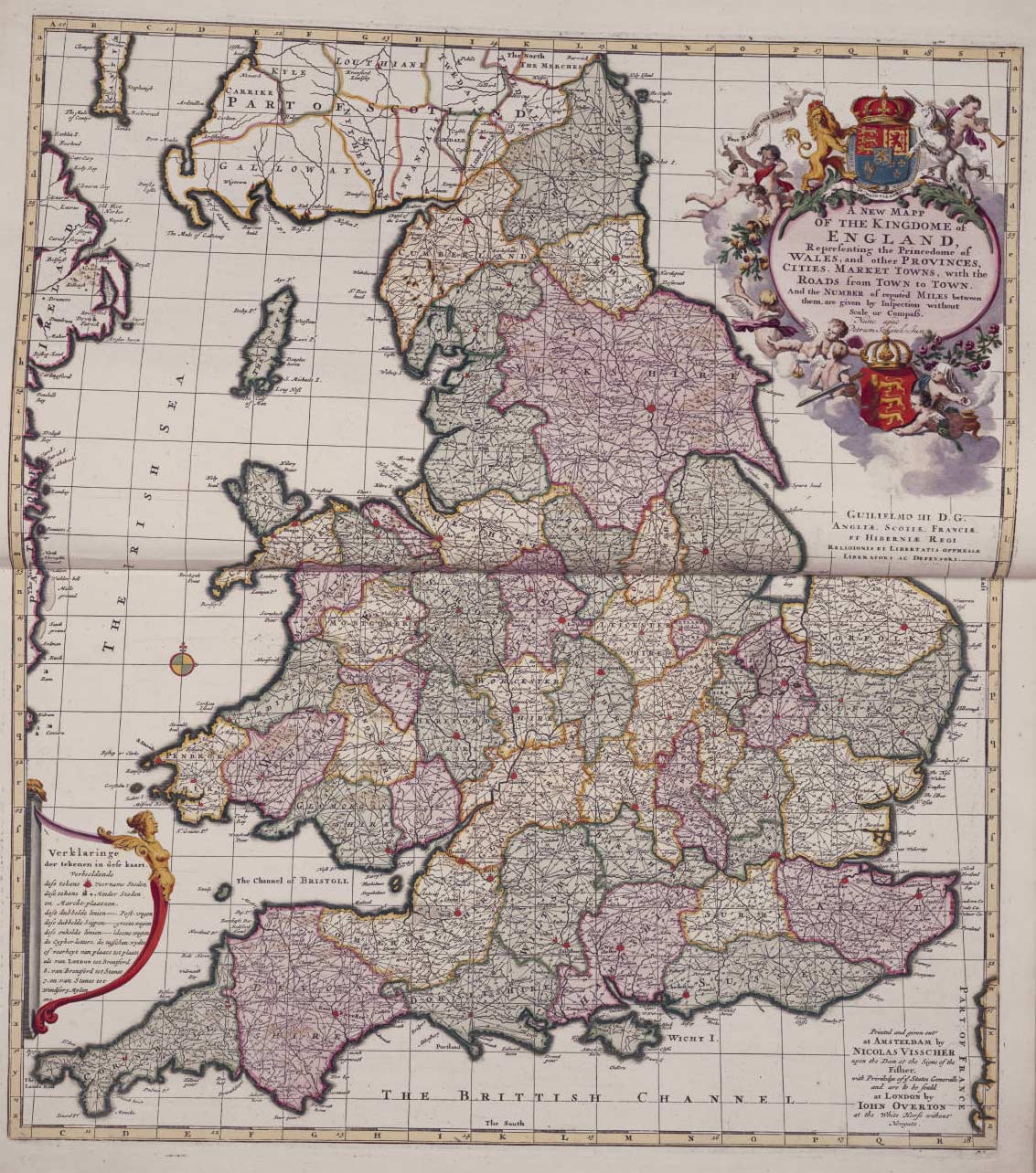
Click on the England Political And Historical Map to view it full screen. File Type: jpg, File size: 327337 bytes (319.67 KB), Map Dimensions: 1133px x 1284px (16777216 colors)
More England Static Maps
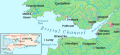
Bristol Channel Detailed Map
600 x 276 - 30,962k - png
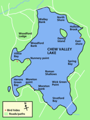
Chew Valley Lake Map
591 x 785 - 25,053k - png
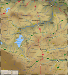
Chew Valley Map
950 x 1037 - 427,241k - png
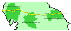
Coast 2 Coast
920 x 402 - 16,026k - png
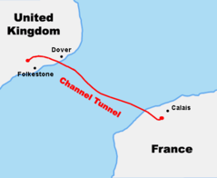
Course Channeltunnel En
472 x 387 - 5,649k - png
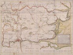
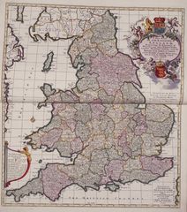
Diocese of London Survey By John Harris 1714
712 x 539 - 58,554k - jpg
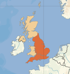
England Uk
360 x 381 - 12,810k - png
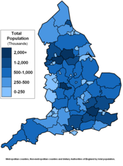
England Counties Population
1083 x 1458 - 51,983k - png
English 1998 Admin Areas Flood Damage July 24 2007
400 x 493 - 6,542k - png
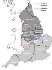
English Dialects
1200 x 1614 - 88,884k - jpg

English Counties Flood Damage July 24 2007
653 x 801 - 28,745k - png
English Counties Flooded In 2007
623 x 762 - 10,016k - png

Europe Location Eng
1600 x 1200 - 263,597k - png
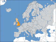
Europelocation England
1600 x 1200 - 121,832k - png
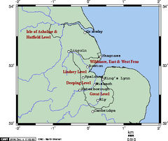
Fens Omc
514 x 432 - 46,131k - jpg
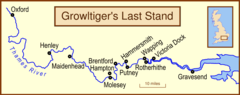
Growltiger Placenames
920 x 366 - 20,462k - png
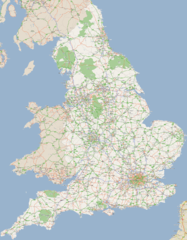
England Large Map 1
1200 x 1540 - 620,120k - png
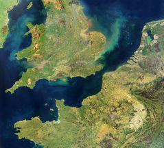
England Satellite Image
1500 x 1354 - 665,494k - jpg
England Political And Historical Map
1133 x 1284 - 327,337k - jpg
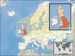
Where Is England Located
1600 x 1200 - 269,814k - png
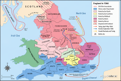
England in 1066 Political Map: Earldoms, Harold Godwinson & Campaigns
1536 x 1024 - 1,239,022k - png
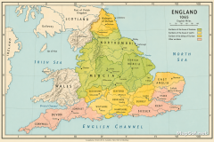
England 1065 Political Map of Earldoms Before the Norman Conquest
1536 x 1024 - 2,606,950k - png