Egypt Satellite Image
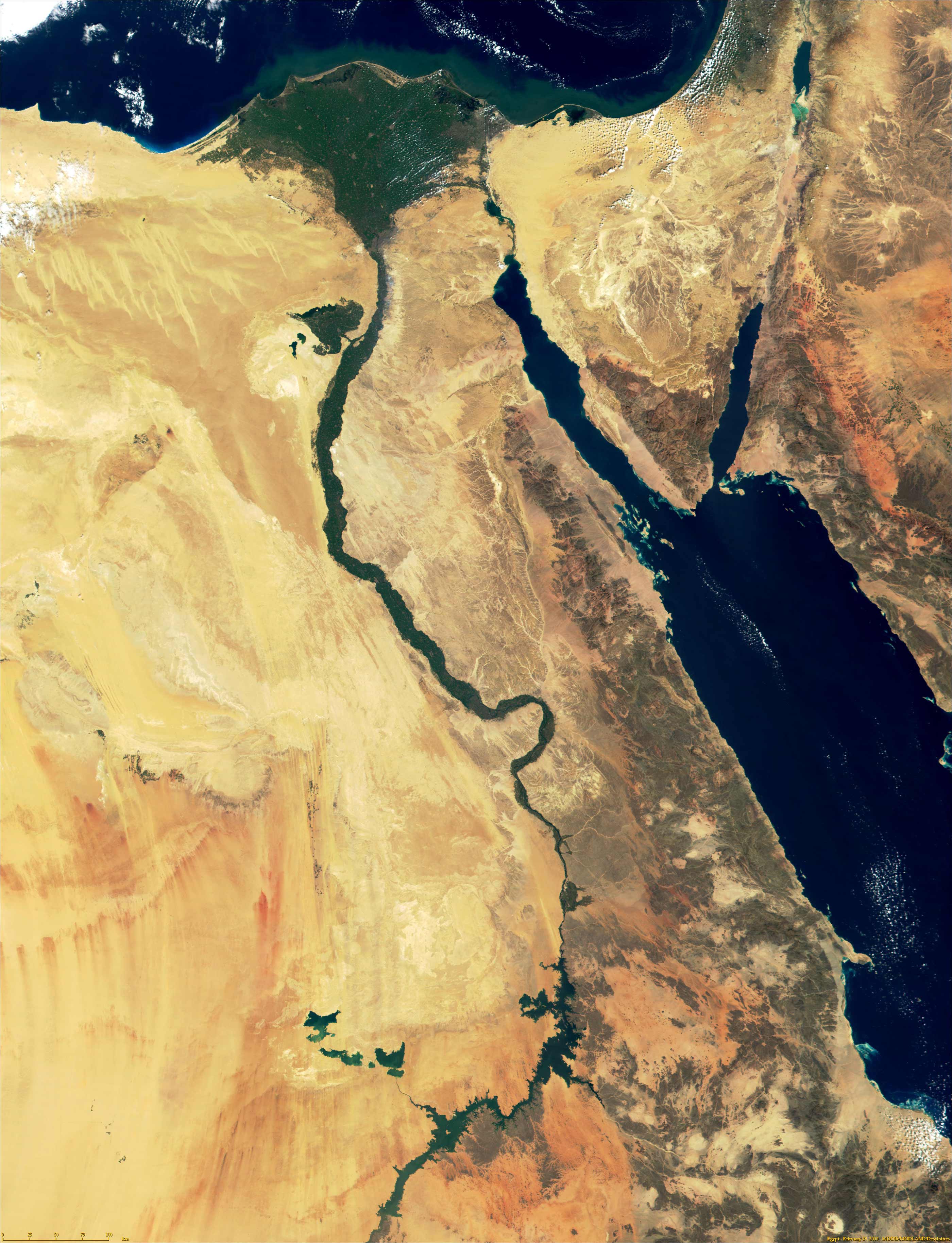
Click on the Egypt Satellite Image to view it full screen. File Type: jpg, File size: 782075 bytes (763.75 KB), Map Dimensions: 2800px x 3655px (16777216 colors)
More Arab Republic of Egypt Static Maps
000 Egjipti Harta
329 x 352 - 6,325k - png
288px Nubia Blank 1
288 x 600 - 20,736k - png
At1317 Map 1
761 x 795 - 5,422k - png
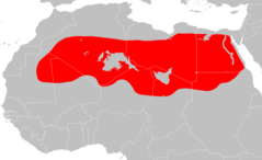
Africa Nilemap 01
200 x 252 - 22,538k - png
Eg Map
329 x 352 - 12,669k - png
Egypt Karnak Test
400 x 394 - 57,031k - png
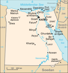
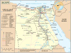
Egypt Map
1000 x 1197 - 228,462k - jpg
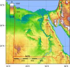
Egypt Topography
950 x 915 - 372,209k - png
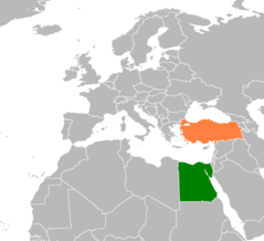
Egypt Turkey Locator
1160 x 1056 - 23,287k - png
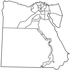
Egypt Governorates Blank
2000 x 2010 - 26,884k - png
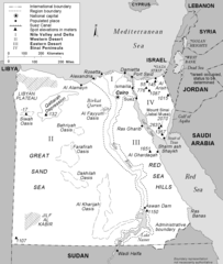
Egypt Regions And Boundaries
1289 x 1521 - 48,882k - png
Egypt Terrain Map Cairo Karnak
400 x 394 - 29,803k - jpg
Egypt Locatormap
342 x 367 - 5,358k - png
Egypte Monastique Couleur
678 x 982 - 108,766k - jpg
Egypte Carte
342 x 367 - 13,654k - png
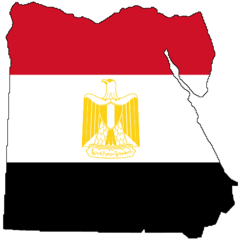
Flag Map of Egypt
457 x 457 - 7,492k - png
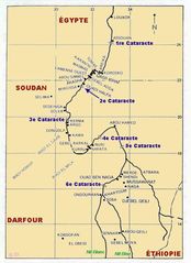
Gd Eg Cataractes Du Nil
524 x 720 - 45,267k - jpg
Kaart Egipte
329 x 352 - 12,776k - png
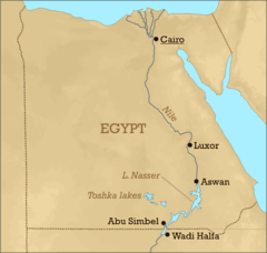
Lake Nasser Location
600 x 570 - 37,131k - png
Location Map Egypt
920 x 920 - 23,190k - png
Mapa Egypta
329 x 352 - 12,583k - png
Nubia Spanish 1
288 x 600 - 28,481k - png
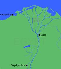
Oxyrhynchos Map
399 x 457 - 10,663k - gif
Oxyrhynchos Map 1
399 x 457 - 10,176k - jpg
Pa1327 Map 1
1339 x 819 - 18,779k - png
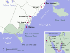
Sharm El Sheikh Map
674 x 511 - 44,414k - png
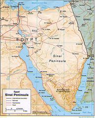
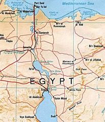
Sinai Peninsula Map
956 x 1196 - 251,896k - jpg
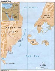
Strait Tiran 83
996 x 1264 - 178,197k - jpg
Suez Canal Map
500 x 582 - 62,941k - jpg
Un Egypt
1200 x 892 - 221,944k - png