Croatia Map Municipalities
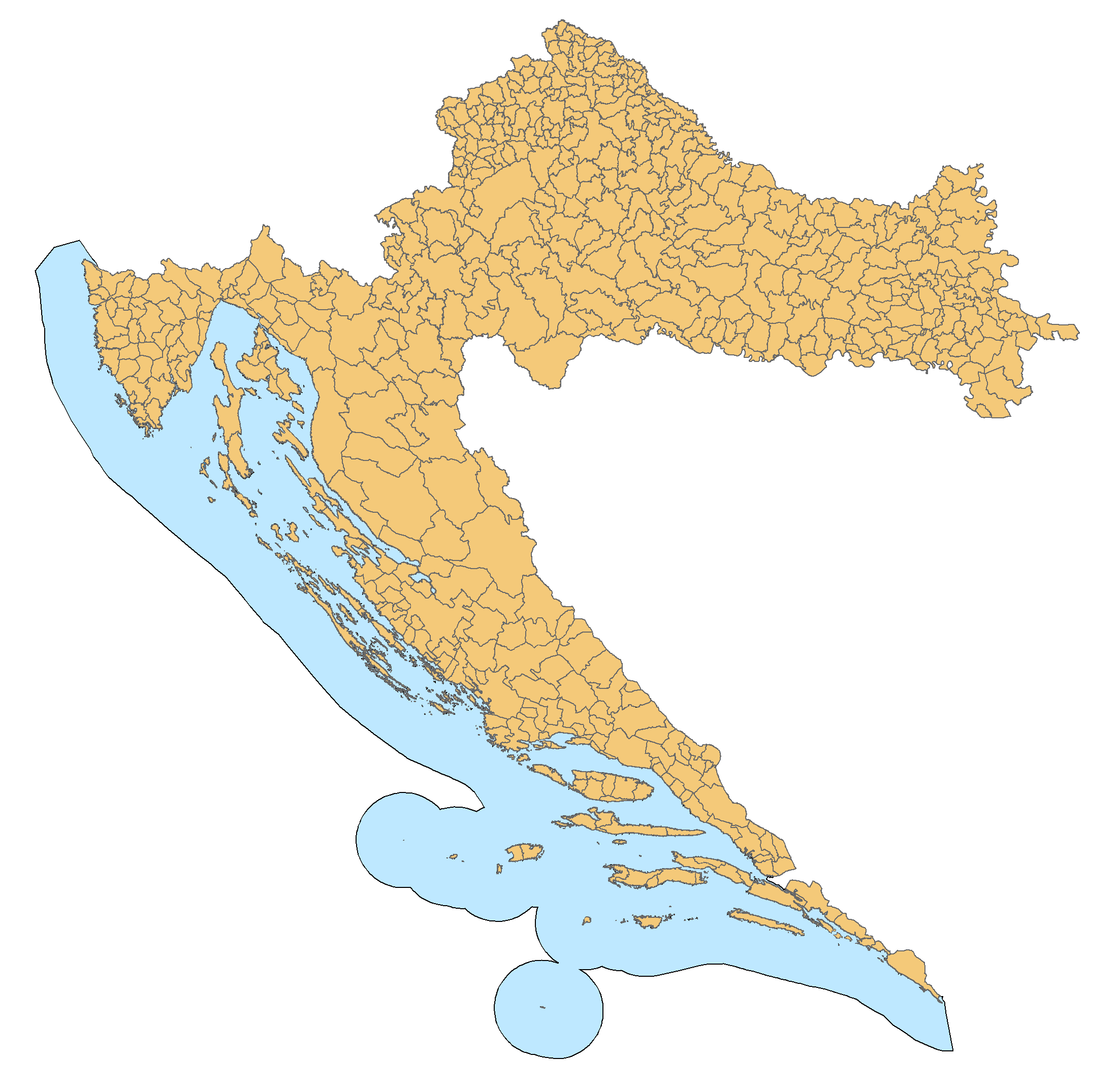
Click on the Croatia Map Municipalities to view it full screen. File Type: png, File size: 100753 bytes (98.39 KB), Map Dimensions: 2201px x 2151px (256 colors)
More Republic of Croatia Static Maps
1976zagfir
356 x 364 - 10,153k - png
240px Croatia Map Blank
240 x 240 - 6,041k - png
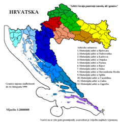
Arhivi U Hrvatskoj 1963 1999
1547 x 1569 - 70,712k - png
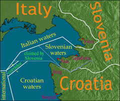
Bay of Piran Maritime Boundary Dispute 1
709 x 600 - 164,071k - jpg
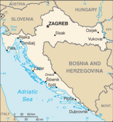
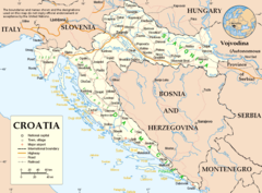
Croatia Overview
815 x 553 - 20,656k - png
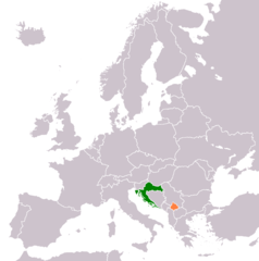
Croatia Kosovo Locator 2
1236 x 1245 - 28,969k - png
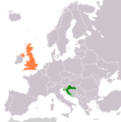
Croatia United Kingdom Locator
1236 x 1245 - 28,837k - png
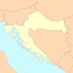
Croatia Map With Updated Borders
328 x 353 - 16,087k - gif
Croatia Stub
920 x 912 - 24,543k - png
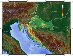
Croatia Topo
1400 x 1078 - 233,933k - jpg
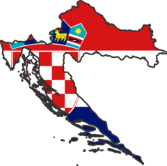
Croatia Map With Flag
193 x 189 - 13,143k - gif
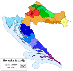
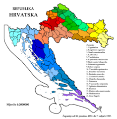
Croatian Counties
2201 x 2151 - 78,658k - png
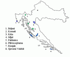
Croatie Parcs Nationaux Fr
920 x 920 - 37,458k - png
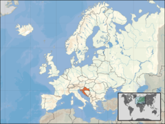
Europe Location Cro
1200 x 900 - 245,421k - png
Gorjanci Region
569 x 638 - 17,610k - png
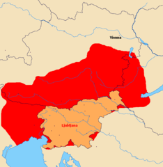
Greater Slovenia 1
1006 x 1030 - 19,603k - png

Hr Map
328 x 353 - 15,077k - png

Interesting Part of the Border Between Slovenia And Croatia In Zumberak Region
992 x 958 - 13,495k - png
Karta Hrvatske
330 x 355 - 12,335k - png
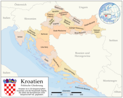
Kroatien Politische Gliederung (karte)
1460 x 1170 - 133,715k - png
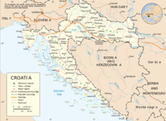
Map of Croatia Un
920 x 676 - 121,867k - png
Nationalparkerkro
509 x 412 - 17,429k - gif
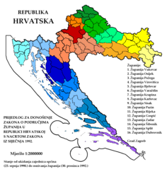
Prijedlog Zupanijskoga Ustroja Od 1992 01 31
1547 x 1569 - 59,137k - png
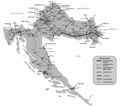
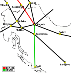
Railroads In Croatia
896 x 804 - 106,231k - gif
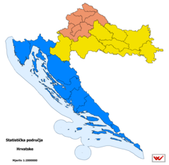
Statistical Regions of Croatia
2201 x 2151 - 59,374k - png
Un Croatia
870 x 643 - 74,856k - png
Zupanije Republike Hrvatske Od 1992 12 30 Do 1997 02 07
1547 x 1569 - 66,962k - png
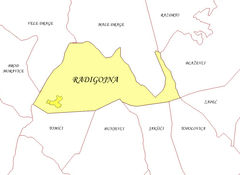
Radigojna I Susjedi
986 x 719 - 253,586k - jpg
000 Kroacia Harta
330 x 355 - 8,866k - png
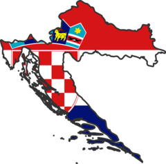
Croatia Flag Map
2048 x 2030 - 106,369k - png