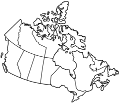
Canada Topo Map
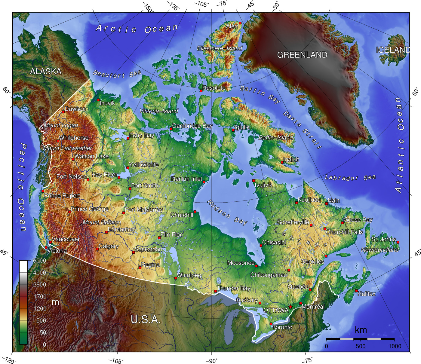
Click on the Canada Topo Map to view it full screen. File Type: jpg, File size: 810081 bytes (791.09 KB), Map Dimensions: 1400px x 1211px (16777216 colors)
More Canada Static Maps
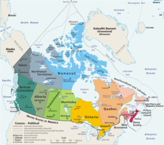
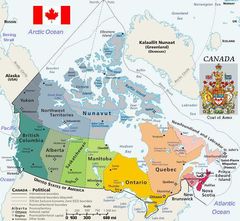
Map Canada Political
1280 x 1128 - 185,072k - png
2007 Fifa U 20 World Cup Venues
920 x 781 - 40,767k - png
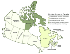
Abortionaccessincanadamap Englishlegend
565 x 435 - 22,174k - png
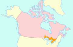
Abortionaccessincanadamap
513 x 435 - 16,979k - png
Alaskahwy Canadamap
287 x 337 - 8,275k - png
Cis Football Locations
1108 x 329 - 22,177k - png
Cuc Regions Map
350 x 300 - 10,715k - jpg
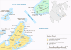
Cabot Strait
1180 x 825 - 65,550k - png
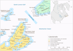
Cabotstrasse
1180 x 825 - 66,734k - png
Canada (geolocalisation)
920 x 781 - 44,015k - png
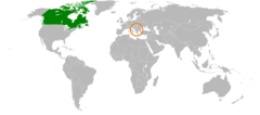
Canada Kosovo Locator 1
920 x 406 - 24,336k - png
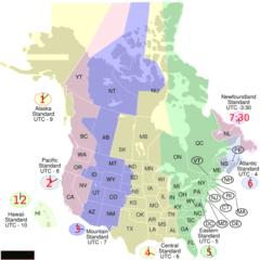
Canada Usa Time
920 x 920 - 51,349k - png
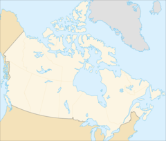
Canada Blank Map
920 x 891 - 33,179k - png
Canada Contour Flag
976 x 790 - 16,470k - png
Canada Geo Hsi
1002 x 462 - 27,265k - png
Canada Geopolitical Map Trim
650 x 599 - 81,706k - jpg
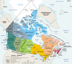
Canada Geopolitical
1280 x 1128 - 203,064k - png
Canada Labelled Map
920 x 891 - 34,213k - png
Canada Lower
1688 x 1099 - 45,988k - png
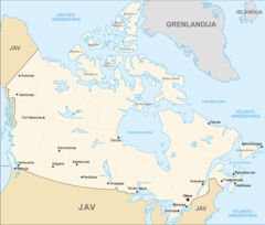
Canada Map (lt)
1670 x 1418 - 151,039k - png
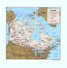
Canada Pol99 Eureka
1204 x 1218 - 256,769k - jpg
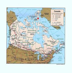
Canada Pol99 Grise Fiord
1204 x 1218 - 256,867k - jpg
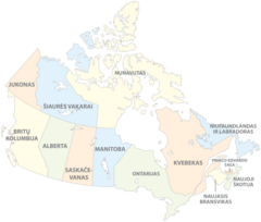
Canada Provinces (lt)
1670 x 1418 - 114,482k - png
Canada Provinces Blank
2000 x 1728 - 38,233k - png
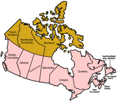
Canada Provinces English
1000 x 864 - 32,534k - png

Canada Provinces French
1000 x 864 - 32,221k - png
Canada Topo
1400 x 1211 - 322,573k - jpg
Canada Upper Lower Map
1688 x 1099 - 45,109k - png
Canada Upper
1688 x 1099 - 44,294k - png
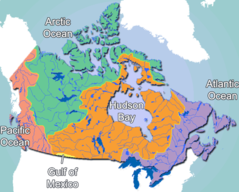
Canada Drainage
860 x 691 - 53,205k - png