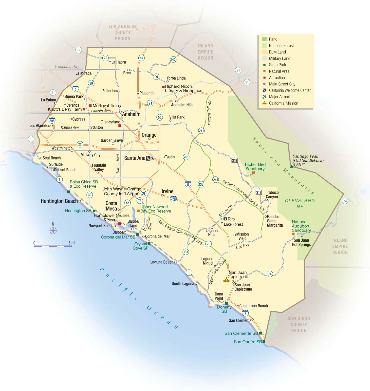
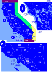
California Orange County Map
Orange County stretches along the Pacific coastline south of Los Angeles in Southern California.
Major Cities
Some prominent Orange County cities include:
- Anaheim - Home to Disneyland and Angel Stadium
- Santa Ana - The county seat and most populous city
- Irvine - Suburban planned community
- Huntington Beach - Surf city along Pacific coast
Beaches
Orange County is known for its beautiful beaches including Huntington Beach, Newport Beach, Laguna Beach, and Dana Point.
John Wayne Airport
John Wayne Airport is the major airport serving Orange County located in Santa Ana near the coast.
Economy
Orange County has a strong technology, healthcare and tourism economy. Prominent companies like Broadcom, Blizzard Entertainment and In-N-Out Burger started here.
Geography
It features a coastal plain next to the Pacific Ocean and inland hills in cities like Yorba Linda and Mission Viejo.
Orange County blends suburban living with vibrant coastal communities and catalyzed Southern California's tech industry. Its mild climate and beaches attract millions of visitors.
More California Static Maps
Alaska Airlines Flight 261 Path
Amtrak California Simplified Map
Area Codes Ca
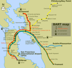
Bart Map
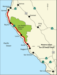
Bigsurmap
Blueca
Ca District 50 Location
Calderarelief Large
California Central Valley County Map

California Centralvalley County Map
California District 38 2004
California Locator Map With Us
California Locator Map
California Map Showing San Francisco County
California Map
California Southern Railroad Route Map
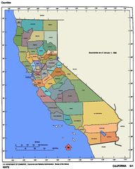
California Counties 300
California Counties Map1
California County Map (alameda County Highlighted)
California County Map (alpine County Highlighted)
California County Map (amador County Highlighted)
California County Map (butte County Highlighted)
California County Map (calaveras County Highlighted)
California County Map (colusa County Highlighted)
California County Map (contra Costa County Highlighted)
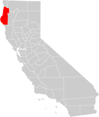
California County Map (del Norte County Highlighted)
California County Map (el Dorado County Highlighted)
California County Map (fresno County Highlighted)
California County Map (glenn County Highlighted)