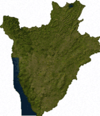
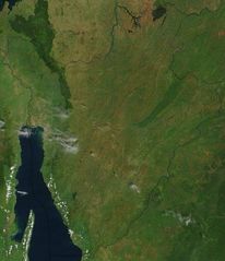
Satellite Image of Burundi In February 2003
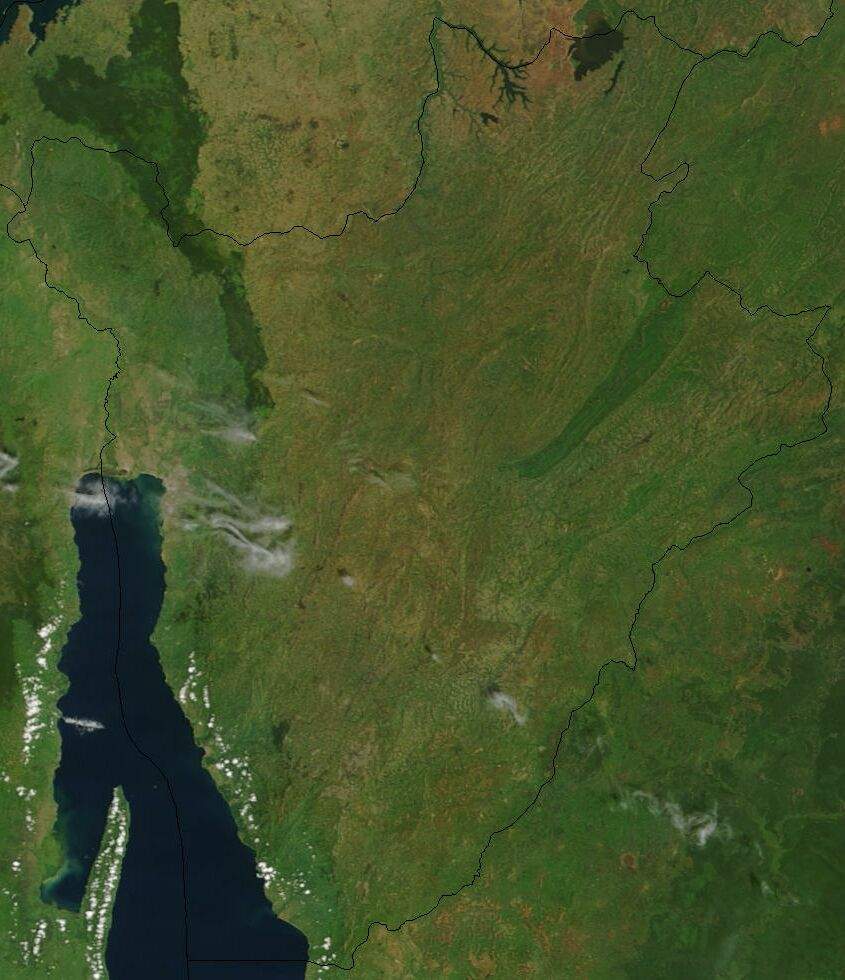
Click on the Satellite Image of Burundi In February 2003 to view it full screen. File Type: jpg, File size: 102345 bytes (99.95 KB), Map Dimensions: 845px x 980px (16777216 colors)
More Republic of Burundi Static Maps
000 Burundi Harta
330 x 332 - 5,963k - png
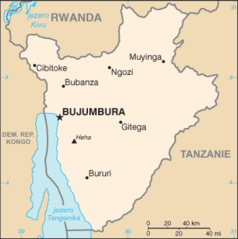
Bujumbura 29 36607e 3 37443s
1280 x 958 - 152,730k - jpg
Burundi 29 94735e 3 34327s
1280 x 958 - 121,739k - jpg
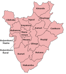
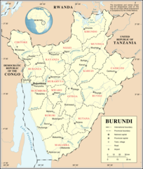
Burundi Provinces
421 x 469 - 8,183k - png
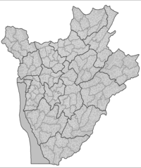
Burundi Collines
859 x 1027 - 57,062k - png
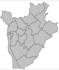
Burundi Communes
865 x 1027 - 21,982k - png
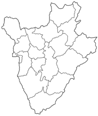
Burundi Provinces Blank
1000 x 1185 - 14,041k - png
Burundi Sat
223 x 259 - 21,000k - png
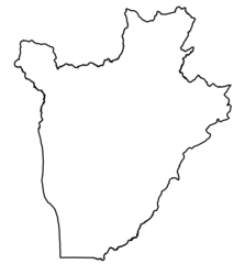
Burundi Map Blank
330 x 332 - 5,855k - png
Burundikaart
434 x 437 - 19,529k - png
By Map Fr
332 x 333 - 8,502k - png
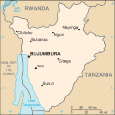
By Map
330 x 332 - 8,588k - png
Deutschen Kolonie Afrika Deutsch Ostafrika 1
336 x 371 - 13,544k - png

Flag Map of Burundi
902 x 1065 - 17,710k - png
Mapa Burundi
330 x 332 - 8,497k - png
Svg Koort Burundi
907 x 1020 - 17,775k - png
Satellite Image of Burundi In February 2003
845 x 980 - 102,345k - jpg
Un Burundi
1200 x 1414 - 253,165k - png

Burundi Flag Map
2048 x 2418 - 79,213k - png
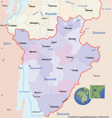
Burundi Political Map
780 x 822 - 110,318k - png
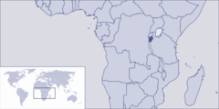
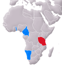
Where Is Burundi Located
1000 x 500 - 40,110k - png