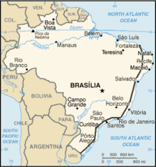
Brazil Land Use Map 1977
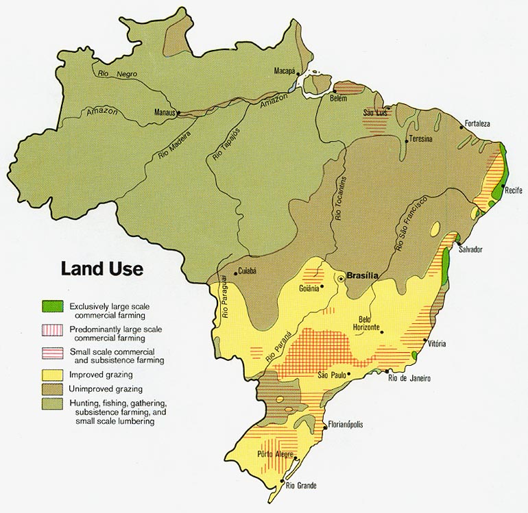
Click on the Brazil Land Use Map 1977 to view it full screen. File Type: jpg, File size: 136438 bytes (133.24 KB), Map Dimensions: 770px x 749px (16777216 colors)
More Federative Republic of Brazil Static Maps
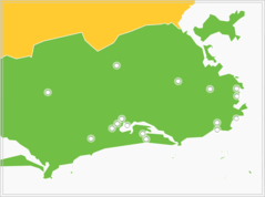
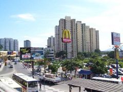
2007 Pan American Games Venues
920 x 686 - 15,944k - png
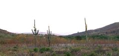
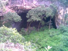
Acaatinga
2874 x 1356 - 261,894k - jpg
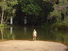
Acudeftrj
800 x 600 - 69,783k - jpg
Alcantara Mega
448 x 336 - 30,877k - jpg
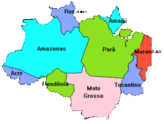
Amazonia Legal
464 x 353 - 25,508k - gif
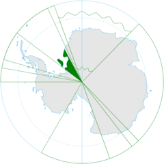
Antarctica, Brazil Territorial Claim (green)
920 x 920 - 35,580k - png
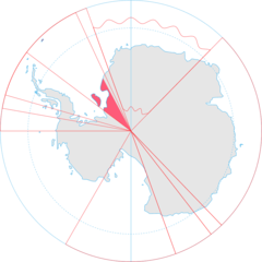
Antarctica, Brazil Territorial Claim
920 x 920 - 35,307k - png
Araras
640 x 480 - 53,527k - jpg
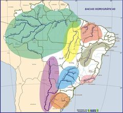
Bacia Hidro
800 x 739 - 78,404k - jpg
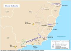
Bacia Leste
800 x 574 - 38,190k - jpg
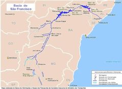
Bacia Sao Francisco
858 x 624 - 46,608k - jpg
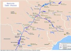
Bacia Tiete Parana
868 x 625 - 54,711k - jpg
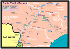
Bacia Tiete Parana 1
819 x 581 - 35,909k - png
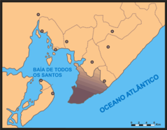
Baia De Todos Os Santos
705 x 548 - 20,124k - png
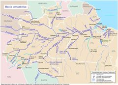
Bcamazonica
800 x 578 - 74,045k - jpg
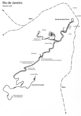
Bondeandrackrailwayriodejaneiro2005
1197 x 1701 - 341,397k - png
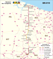
Br 010
800 x 902 - 126,267k - gif
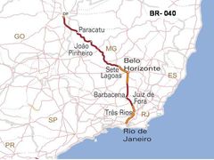
Br 040mapa
720 x 540 - 46,716k - jpg
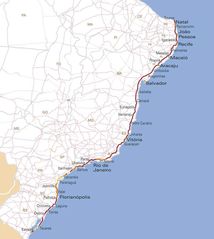
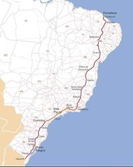
Br 101mapa
1006 x 1125 - 92,255k - jpg
Br 116 Map
330 x 354 - 18,466k - gif
Br 116mapa
897 x 1125 - 82,469k - jpg
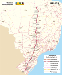
Br 153
800 x 958 - 141,606k - gif
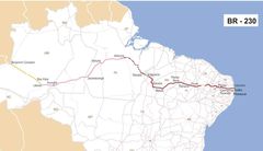
Br 230mapa
1500 x 864 - 81,001k - jpg
Br Map He
2926 x 3142 - 286,541k - jpg
Br Map
330 x 354 - 16,913k - gif
Br Map 1
351 x 377 - 19,748k - png
Brasil Bacias Hidrograficas
920 x 888 - 29,799k - png
Brasil States Maploc
546 x 545 - 5,607k - png
Brasil Referendo2005
536 x 536 - 11,656k - png
Brasil19 20 Conflitos
920 x 888 - 17,914k - png