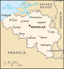
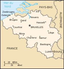
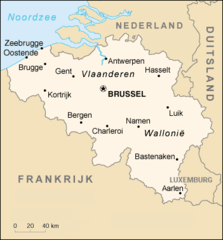
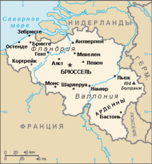
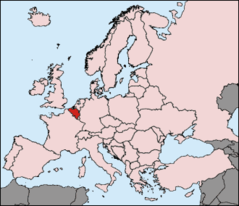
Benelux Map
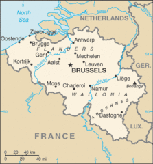
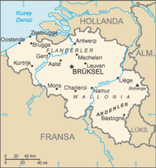
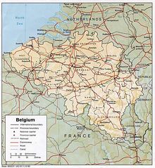
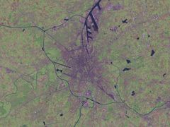
The Benelux refers to an economic union between three neighboring countries in Western Europe: Belgium, the Netherlands, and Luxembourg. Examining the Benelux map provides insight into these connected nations.
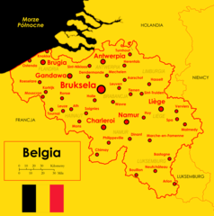
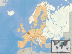
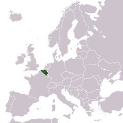
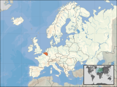
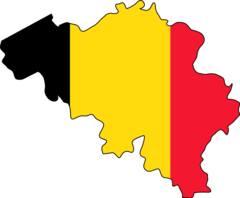
Belgium
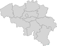
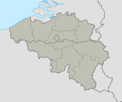
- Belgium is divided into three regions: Flanders, Wallonia, and Brussels.
- The capital and largest city is Brussels, which also serves as capital of the EU.
- Other major cities include Antwerp, Ghent, Charleroi, and Liège.
Netherlands
- The capital of the Netherlands is Amsterdam.
- Major cities include Rotterdam, The Hague, and Utrecht.
- Much of the land is below sea level, protected by dikes and dunes.
Luxembourg
- Luxembourg is a small, landlocked country, though one of the wealthiest in Europe.
- The capital and largest city is Luxembourg City.
- Luxembourg has historically been linked to Belgium and the Netherlands.
Transportation
- An integrated highway system connects the three countries.
- High-speed rail links major cities in the Benelux region.
In summary, the Benelux map depicts these three small but economically vital Western European nations united through commerce, infrastructure, history and government cooperation.
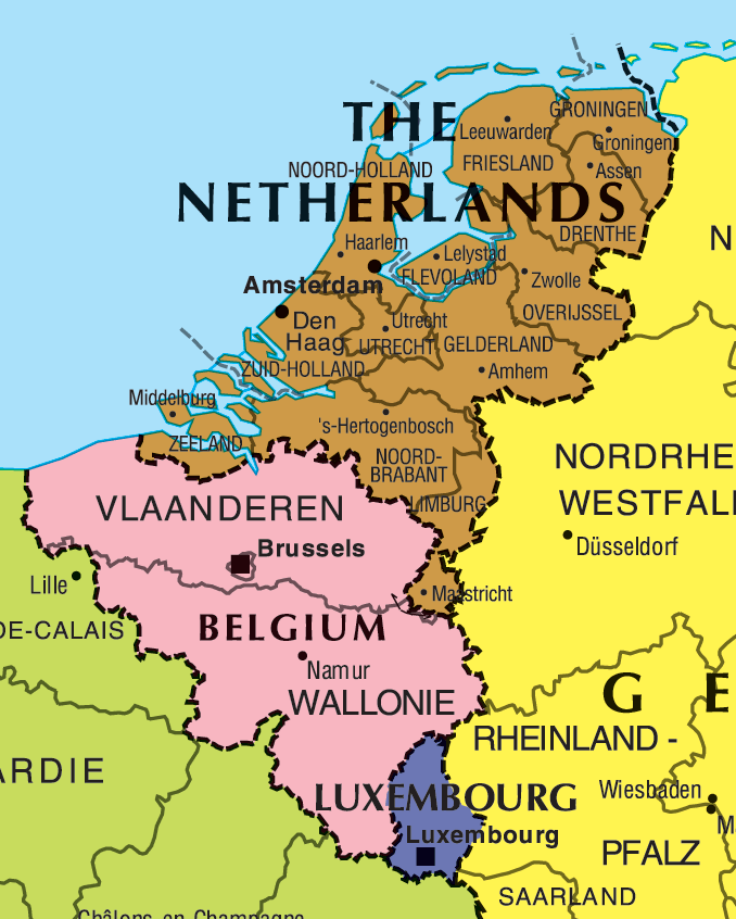
Click on the Benelux Map to view it full screen. File Type: png, File size: 64507 bytes (63 KB), Map Dimensions: 678px x 846px (256 colors)
More Kingdom of Belgium Static Maps
733px Belgium Provinces Regions2
733 x 600 - 35,395k - jpg
Be Redu Map
329 x 353 - 14,428k - png
Be Map Eo
330 x 355 - 8,961k - png
Be Map Es
330 x 355 - 9,893k - png
Be Map Fr
330 x 355 - 8,891k - png
Be Map Nl
351 x 377 - 17,877k - png
Be Map Ru
328 x 353 - 11,137k - png

Be Stubmap
920 x 813 - 15,141k - png

Belgie Mapa
330 x 355 - 7,347k - png
Belgien Pos
330 x 284 - 13,390k - png
Belgii
1200 x 1210 - 165,039k - png
Belgique Vierge
920 x 751 - 25,520k - png
Belgique Communes589 Provinces10
888 x 734 - 30,056k - gif
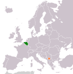
Belgium Kosovo Locator 2
1236 x 1245 - 28,711k - png
Belgium Clearmap
434 x 465 - 15,499k - jpg
Belgium Location Map (infobox Belgische Deelgemeente)
920 x 765 - 26,570k - png
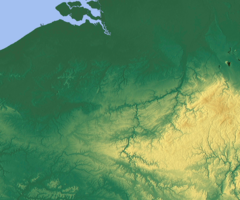
Belgium Relief
1200 x 1000 - 705,721k - png
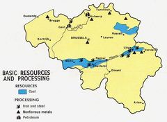
Belgium Resources 1968
627 x 459 - 40,669k - jpg
Belgium Sm 2008
328 x 353 - 14,209k - gif
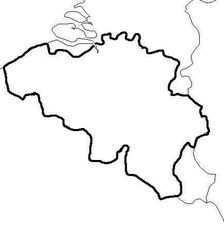
Belgium Stub
920 x 759 - 12,492k - png
Belgium Map Tr
328 x 353 - 14,186k - png
Belgium
1002 x 1090 - 254,712k - jpg
Brussles 4 35995e 50 84400n
1280 x 958 - 237,429k - jpg
Dutchdialectsmap
505 x 487 - 10,377k - png
Dietsland I 1
678 x 595 - 9,657k - png
Eu Location Bel
1600 x 1200 - 260,736k - png
Europe Location B
1245 x 1245 - 28,171k - png
Europe Location Bel
1200 x 900 - 245,672k - png
Flag And Map of Belgium
920 x 759 - 13,132k - png
Gent 3 73224e 51 05264n
1280 x 958 - 159,491k - jpg