Satellite Image of Belarus In December 2002
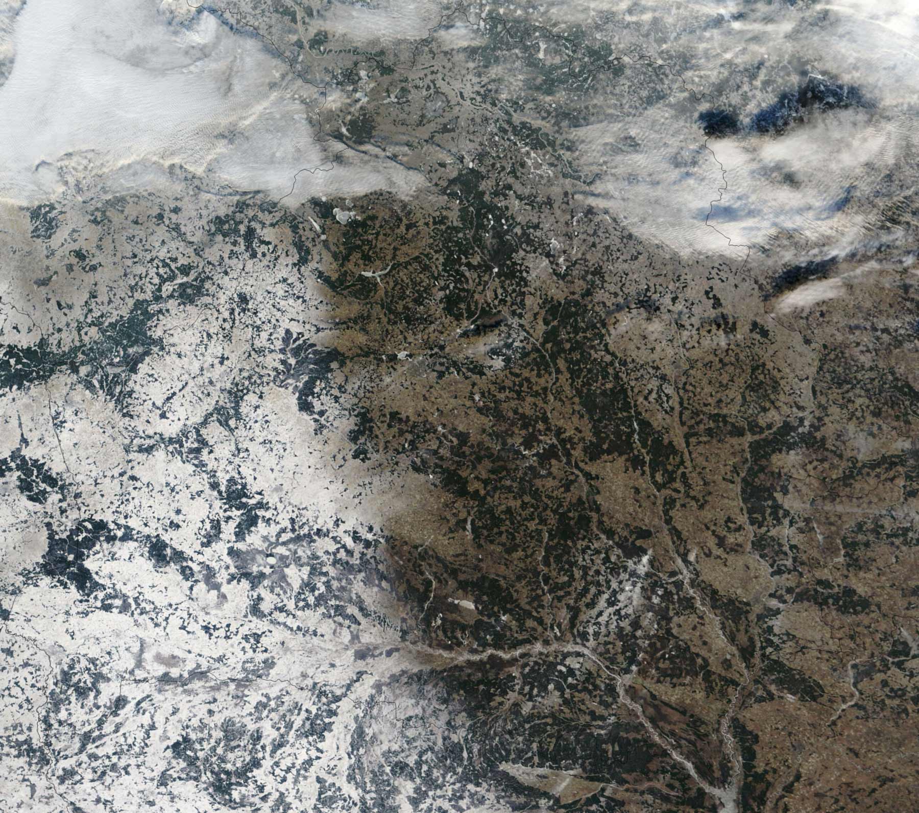
Click on the Satellite Image of Belarus In December 2002 to view it full screen. File Type: jpg, File size: 412941 bytes (403.26 KB), Map Dimensions: 1800px x 1592px (16777216 colors)
More Republic of Belarus Static Maps
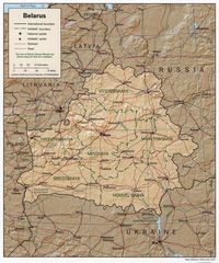
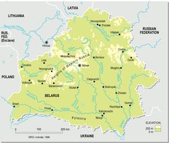
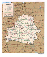
Belarus 1997 Cia Map
1400 x 1680 - 359,721k - jpg
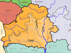
Belarus Dnieper River Pripyat River Sosh River
750 x 564 - 36,673k - png
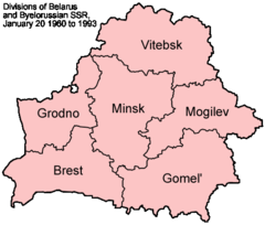
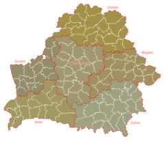
Belarus Provinces 1960 1993
500 x 425 - 13,104k - png
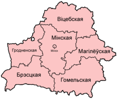
Belarus Provinces Belarusian
500 x 425 - 13,612k - png
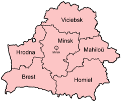
Belarus Provinces English
500 x 425 - 12,397k - png
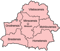
Belarus Provinces Latin
500 x 425 - 13,578k - png
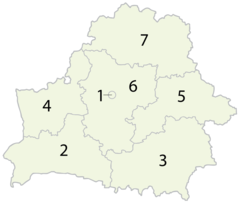
Belarus Provinces Numbered
920 x 785 - 25,713k - png
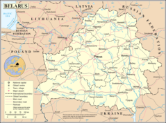
Belarus Topographic Map
912 x 770 - 75,995k - jpg

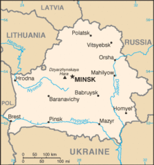
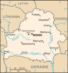
Belarus Cia Wfb Map
330 x 353 - 11,835k - png
Belarus Geohive
620 x 535 - 16,921k - png
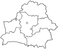
Belarusstub
920 x 776 - 14,273k - png
Bo Map
330 x 353 - 12,385k - gif
Bo Map 1
330 x 355 - 11,279k - png
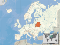
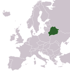
Europe Location Blr
1200 x 900 - 245,342k - png
Europe Location By
1245 x 1245 - 28,262k - png
Freebelarus
2000 x 1701 - 39,380k - png
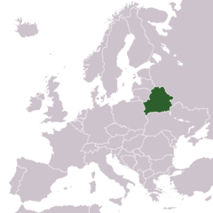
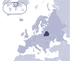
Locationbelarusineurope
415 x 422 - 5,431k - png
Un Belarus
1200 x 892 - 258,301k - png
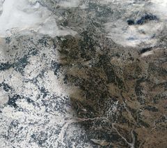
Satellite Image of Belarus In December 2002
1800 x 1592 - 412,941k - jpg
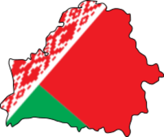
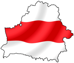
Belarus Flag Map
202 x 169 - 7,789k - png
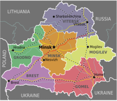
Belarus Provinces Map
653 x 563 - 51,889k - png
Belarus Blank
2000 x 1706 - 77,676k - png
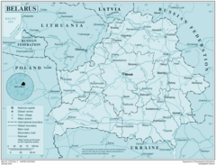
Belarus Political Map
1098 x 1223 - 94,329k - png
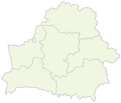
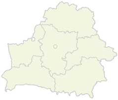
Belarus Provinces Blank
2000 x 1701 - 23,476k - png
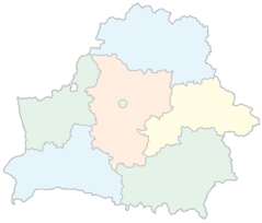
Belarus Provinces Blank Color
2000 x 1706 - 75,799k - png
Belarus Provinces Blank Map
2000 x 1706 - 78,183k - png
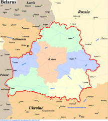
Belarus Political Map 1997
1088 x 1310 - 347,394k - jpg
Where Is Belarus Located
685 x 600 - 55,875k - png
Belarus
2533 x 1934 - 439,708k - png