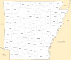
Counties Location Map of Arkansas

Click on the Counties Location Map of Arkansas to view it full screen. File Type: png, File size: 106645 bytes (104.15 KB), Map Dimensions: 1358px x 1077px (256 colors)
More Arkansas Static Maps

Arkansas Flag Map
1045 x 1218 - 42,698k - png
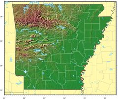
Arkansas Relief Map
1139 x 955 - 178,262k - jpg
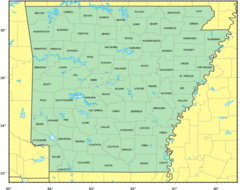
Counties Location Map of Arkansas
1358 x 1077 - 106,645k - png
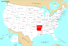
Where Is Arkansas Located
1476 x 1002 - 135,404k - png
Arkansas Cities And Towns
2456 x 2067 - 169,466k - PNG
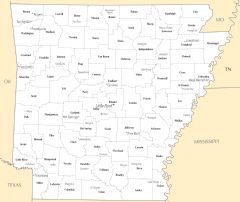
Arkansas County Map
2457 x 2064 - 132,587k - PNG
Arkansas Reference Map
2454 x 2070 - 1,383,803k - PNG
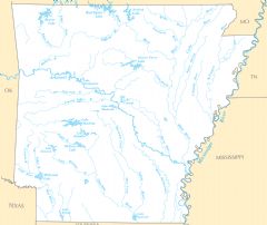
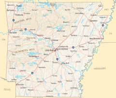
Arkansas Rivers And Lakes
2457 x 2067 - 207,886k - PNG
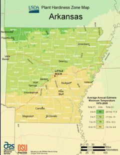
Arkansas Plant Hardiness Zone Map
2224 x 2876 - 296,233k - PNG