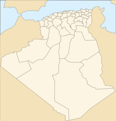
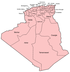
Algeria Regions Map
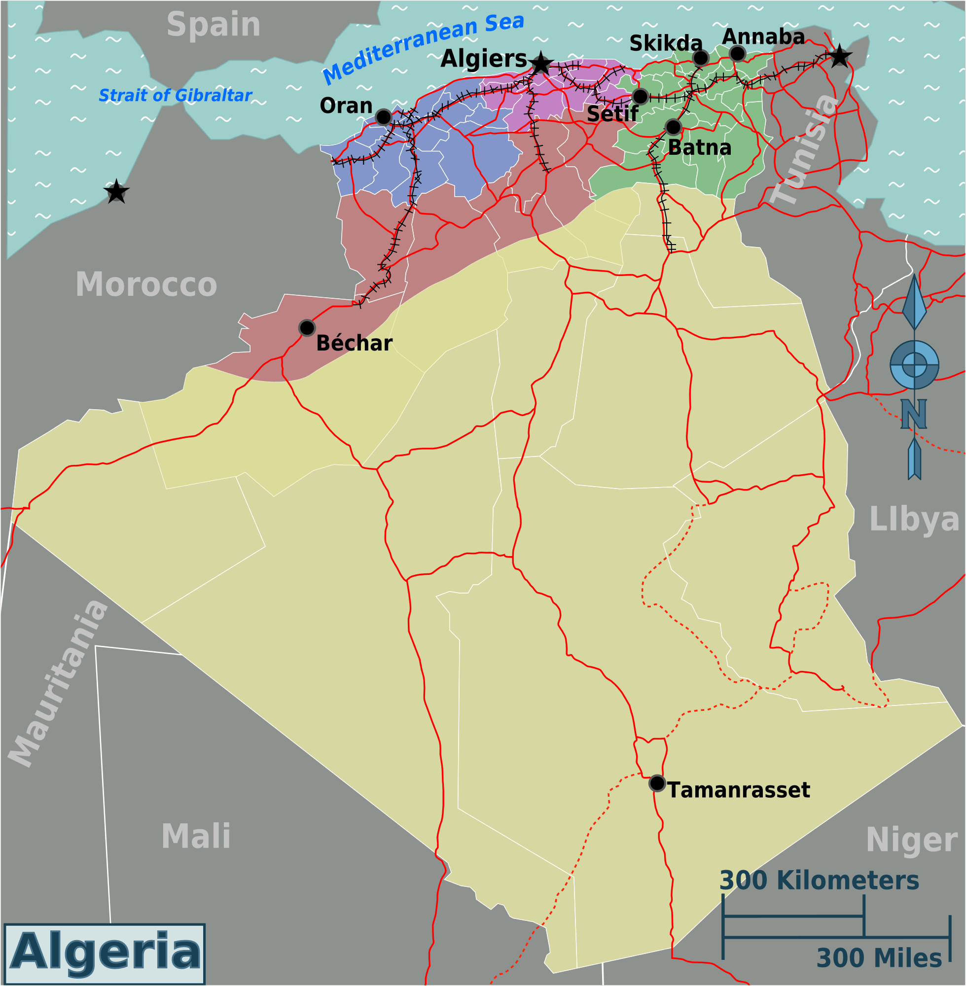
Click on the Algeria Regions Map to view it full screen. File Type: png, File size: 198978 bytes (194.31 KB), Map Dimensions: 1959px x 2000px (256 colors)
More People’s Democratic Republic of Algeria Static Maps
Ag Map Lt
392 x 348 - 13,400k - png
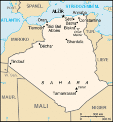
Ag Map
330 x 355 - 12,068k - gif
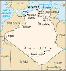
Ag Map 1
330 x 355 - 10,202k - png
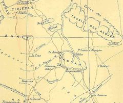
Ahaggar map
838 x 705 - 70,793k - jpg
Algeria France Locator
355 x 297 - 13,987k - png

Algeria Germany Locator
355 x 297 - 13,987k - png
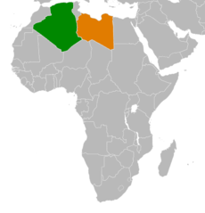
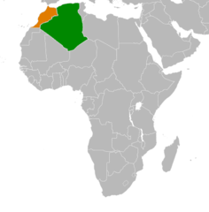
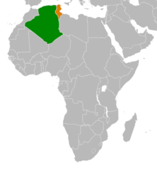
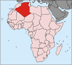
Algeria Libya Locator
467 x 486 - 14,696k - png
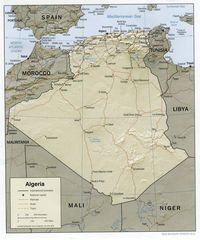
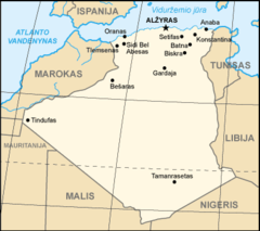
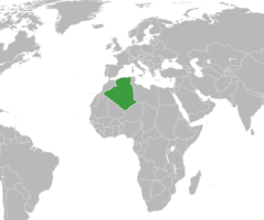
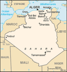
Algeria Map
1032 x 1238 - 204,380k - jpg
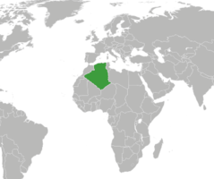
Algeria Morocco Locator
490 x 499 - 14,962k - png
Algeria Rasd Locator
355 x 297 - 13,987k - png
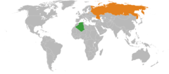
Algeria Russia Locator
920 x 406 - 24,659k - png
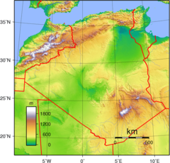
Algeria Topography
950 x 910 - 389,178k - png
Algeria Tunisia Locator
457 x 495 - 15,033k - png
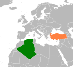
Algeria Turkey Locator
1160 x 1056 - 23,327k - png
Algeria Alternative
915 x 953 - 26,975k - png
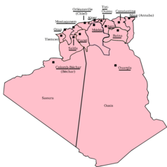
Algeria Departments 1957 1974
1274 x 1280 - 27,842k - png
Algeria Departments 1974 1983
1000 x 1029 - 33,860k - png
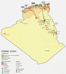
Algeria Economy 1971
1048 x 1180 - 94,883k - jpg
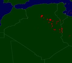
Algeria Flares
2761 x 2401 - 58,910k - png
Algeria Map Fr
280 x 301 - 12,748k - png
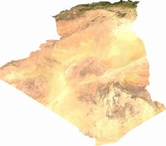
Algeria Sat
2478 x 2177 - 378,386k - jpg
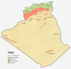
Algeria Tribes
874 x 850 - 63,401k - jpg
Algeria Map 1
330 x 355 - 10,281k - png
Algerian Wine Regions
682 x 599 - 37,815k - jpg
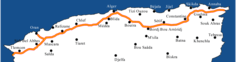
Algerie Autoroute Est Ouest Villes
1220 x 320 - 20,916k - png
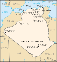
Algerie Geo
400 x 400 - 5,416k - png
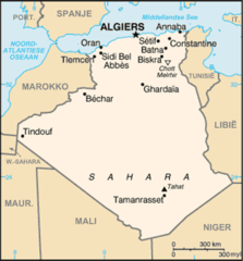
Algeriekaart
440 x 473 - 24,783k - png
Algerien Pos
330 x 299 - 10,316k - png
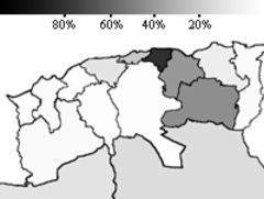
Berber As Percentage of Total Popn Algeria 1966 Jpeg
200 x 151 - 15,921k - peg
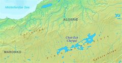
Chott Ech Chergui Kaart
955 x 492 - 61,567k - jpg