Carthage Archaeological Sites Map Fr
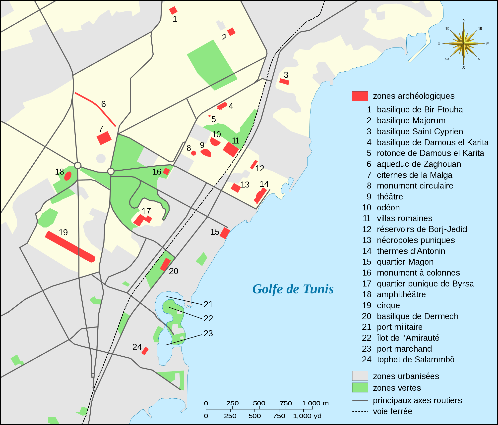
Click on the Carthage Archaeological Sites Map Fr to view it full screen. File Type: png, File size: 169065 bytes (165.1 KB), Map Dimensions: 2000px x 1709px (256 colors)
More Africa Static Maps
1976 Olympics Boycott Info
542 x 500 - 8,200k - png
Active Recs of the Aec
347 x 335 - 5,237k - png
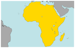
Africa (political) 22 18772e 0 25705n
1280 x 958 - 96,772k - jpg
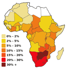
Africa Hiv Aids 300px
294 x 313 - 8,929k - png
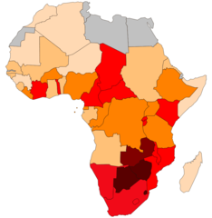
Africa Hiv Aids
917 x 940 - 27,140k - png
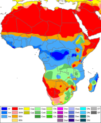
Africa Koppen Map
1200 x 1453 - 172,057k - png
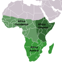
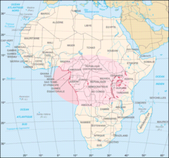
Africa Subsahariana
329 x 328 - 5,553k - png
Africa Continents
920 x 598 - 12,380k - png
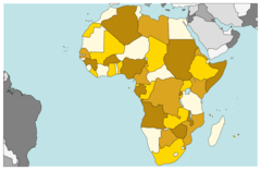
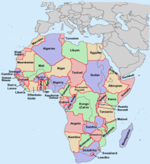
Africa Countries
920 x 598 - 23,000k - png
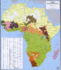
Africa Ethnic Groups 1996
1800 x 2056 - 299,355k - jpg
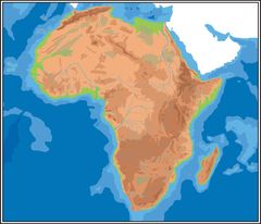
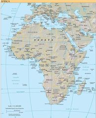
Africa Geographycal Hires
2667 x 2287 - 245,837k - jpg
Africa Just Countries
920 x 841 - 25,754k - png
Africa Map
846 x 892 - 45,374k - jpg
Africa Population Density
865 x 699 - 6,949k - png
Africa Middle East Conflict
1036 x 614 - 12,091k - png
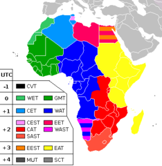
Africa Timezones
382 x 392 - 6,192k - png
Africa
1052 x 1072 - 359,543k - png
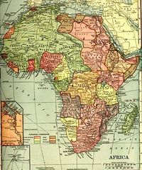
Africa1910ssmall
376 x 451 - 59,875k - jpg
Africacia Hires
1218 x 1500 - 301,408k - jpg
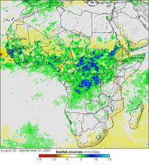
Africarain Trm 2007264
540 x 600 - 68,776k - jpg
African Continent De
1200 x 1118 - 252,338k - png
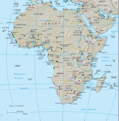
African Geo Map
629 x 790 - 38,779k - jpg
Afrika
503 x 505 - 76,941k - png
Afrikamapde
1050 x 1152 - 46,539k - png
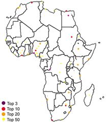
Afrikatop50metropoles
1792 x 2048 - 136,192k - jpg
Afrique Habitat Du Potagomale
644 x 600 - 56,924k - png
Afrique Latine1
360 x 392 - 6,838k - png
Afrobarometer Survey Countries
1754 x 1546 - 31,149k - png
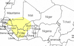
Bambara
414 x 255 - 9,411k - gif
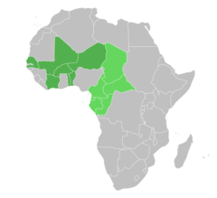
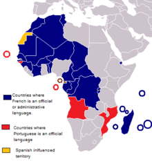
Cfa Franc Zone
920 x 841 - 24,271k - png