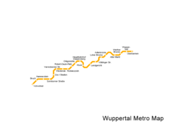
Maps of Net

Wuppertal printable maps Wuppertal Metro Map


Please wait while map is loading...
[please be patient as the full-size map (5.20 KB) loads] Wuppertal Metro Map large map


Wuppertal maps. Click on the Wuppertal Metro Map to view it full screen. File Type: png, File size: 5329 bytes (5.20 KB), Map Dimensions: 890px x 708px (256 colors)
Zoom in: Click or press shift key to zoom in
[+] / [PgDn] / [End] (is faster) / [shift] + left mouse button /middle / wheel mouse button /mouse wheel down
Zoom out: Click or press alt key to zoom out
[–] / [PgUp] / [Home] (is faster) / [alt] + left mouse button /right mouse button /mouse wheel up
Pan / Shift / Move:
[left] / [right] / [down] / [up] arrow buttons+ [shift] (is faster) and + [alt] (is slower)
| Detailed Wuppertal map
Link to this map:

Map sizes

These maps are different sizes of Wuppertal Metro Map. Click on map to view larger.

Wuppertal Metro Map thumbnail120x152 Wuppertal Metro Map small size (13x10) 133x106 Wuppertal Metro Map medium size (26x21) 267x212 Wuppertal Metro Map large size (44x35) 445x354 Wuppertal Metro Map xlarge size (66x53) 667x531 Wuppertal Metro Map full size (99x79.5) 890x708

Wuppertal maps

Click on maps for larger view. All Wuppertal printable maps