Virginia printable maps Virginia And Maryland Historical Map
Please wait while map is loading...
[please be patient as the full-size map (191.80 KB) loads]
Virginia maps. 
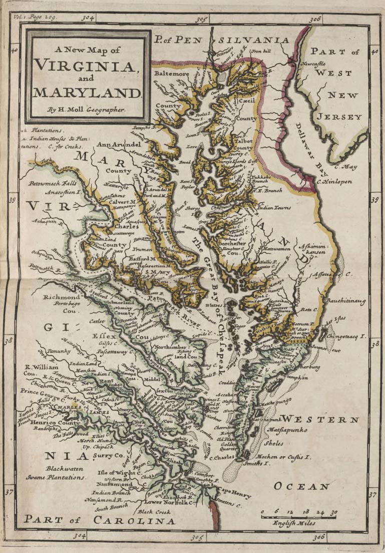
Click on the
Virginia And Maryland Historical Map to view it full screen.
File Type: jpg,
File size: 196402 bytes (191.80 KB),
Map Dimensions: 769px x 1102px (16777216 colors)
- Zoom in: Click or press shift key to zoom in
- [+] / [PgDn] / [End] (is faster) / [shift] + left mouse button /middle / wheel mouse button /mouse wheel down
- Zoom out: Click or press alt key to zoom out
- [–] / [PgUp] / [Home] (is faster) / [alt] + left mouse button /right mouse button /mouse wheel up
- Pan / Shift / Move:
- [left] / [right] / [down] / [up] arrow buttons+ [shift] (is faster) and + [alt] (is slower)
|
Detailed Virginia map
Link to this map:
Map sizes
These maps are different sizes of Virginia And Maryland Historical Map. Click on map to view larger.

120x152

115x165

230x330

384x551

576x826

769x1102
Click on maps for larger view. All Virginia printable maps