Vancouver Transport Map
Click on the Vancouver Transport Map to view it full screen. File Type: jpg, File size: 1079996 bytes (1054.68 KB), Map Dimensions: 2288px x 2207px (16777216 colors)
More Vancouver Static Maps
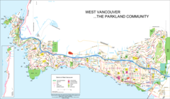
West Vancouver Map
2873 x 1671 - 483,226k - png