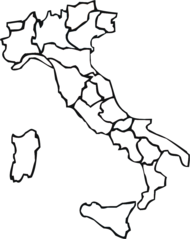
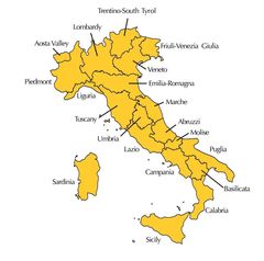
Italy Provinces
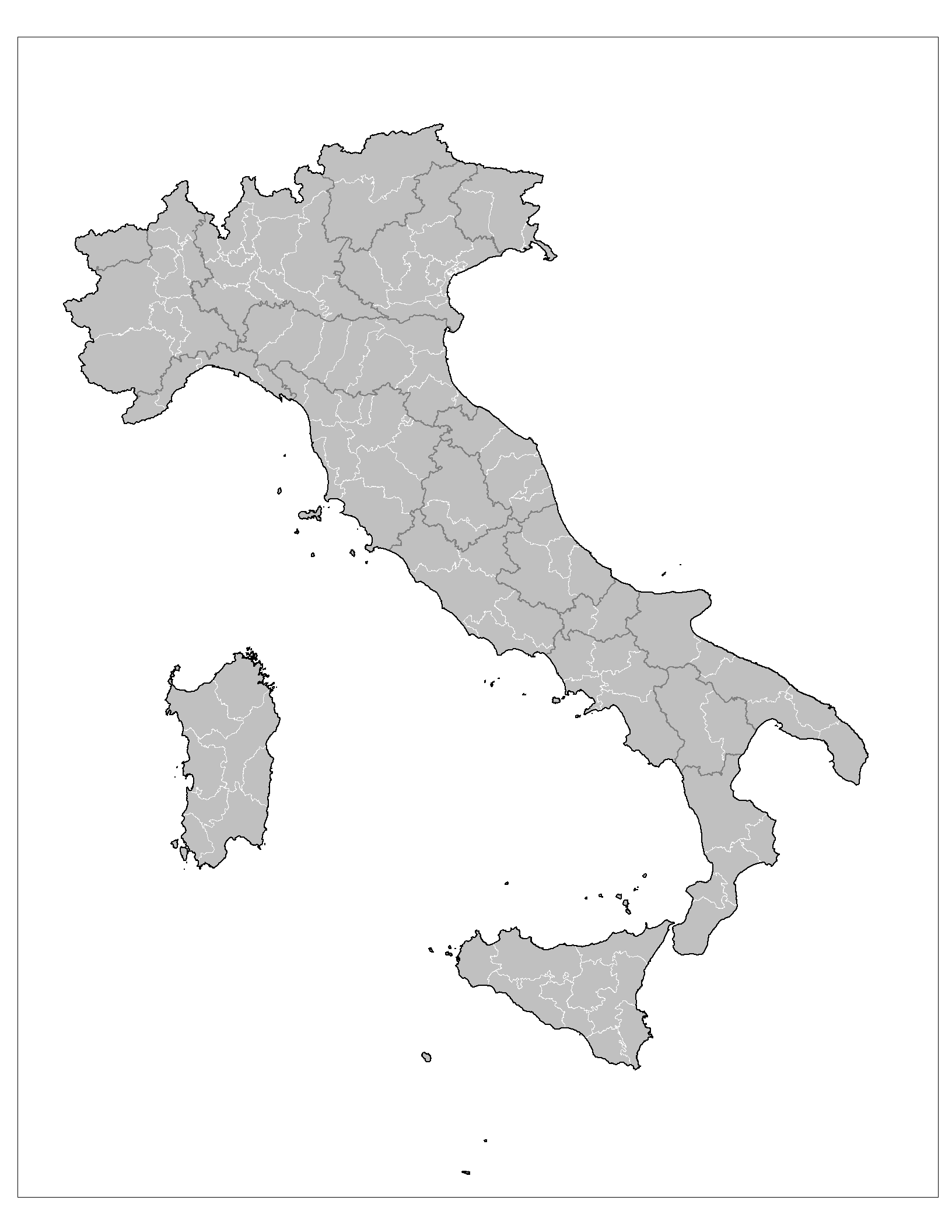
Click on the Italy Provinces to view it full screen. File Type: png, File size: 45328 bytes (44.27 KB), Map Dimensions: 1632px x 2112px (256 colors)
More Italian Republic Static Maps
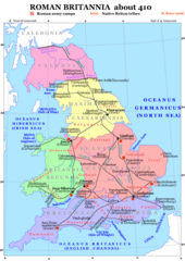
Roman Britain 410
1241 x 1755 - 457,815k - png
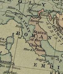
Kerkstaat1204
295 x 347 - 22,578k - jpg
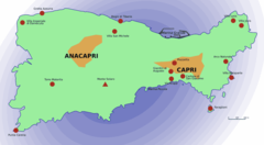
Capri Sights
920 x 506 - 20,473k - png
000 Italia Harta
329 x 353 - 9,511k - png
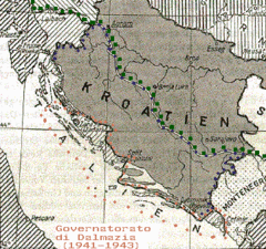
1941governatoratodalmazia
361 x 339 - 62,813k - gif
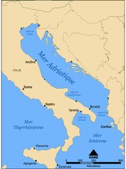
Adriatique Agathocle
2249 x 2999 - 222,053k - jpg
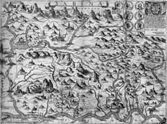
Arbitali Map
268 x 305 - 12,807k - gif
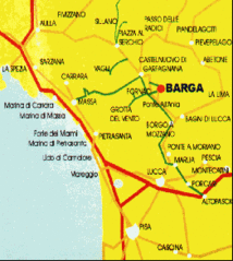
Barga2
262 x 293 - 24,190k - gif
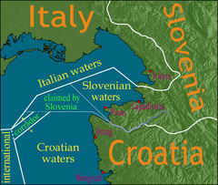
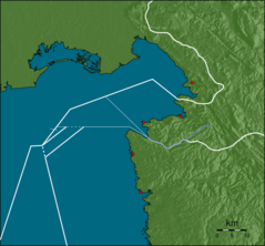
Bay of Piran Maritime Boundary Dispute
709 x 600 - 164,071k - jpg
Bezochte Plaatsen Van Talenwonders
512 x 600 - 25,235k - png
Blond Hair Italy
1197 x 1430 - 105,410k - gif
Borderdispute Bayofpiran Blank
800 x 742 - 132,898k - png
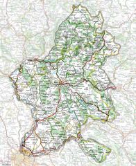
Cartina Stradale 1
1250 x 1530 - 497,209k - jpg
Cartina Zone Morlupo
435 x 372 - 20,381k - png
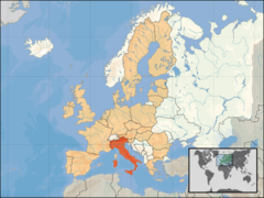
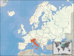
Eu Location Ita
1600 x 1200 - 260,713k - png
Europe Location Ita
1200 x 900 - 243,512k - png
Florence Map Is
329 x 353 - 17,077k - png
Giubilio 1
1224 x 911 - 386,412k - jpg
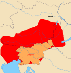
Greater Slovenia
1006 x 1030 - 19,603k - png
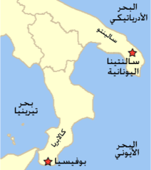
Grikospeakingcommunitiestodayv4 Ar
266 x 300 - 5,143k - png
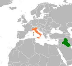
Iraq Italy Locator
1160 x 1056 - 23,283k - png
It Map Es
329 x 353 - 17,026k - png
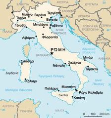
It Map Gr
325 x 347 - 28,131k - jpg
It Map Is
329 x 353 - 17,206k - png
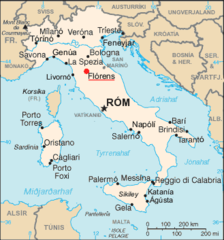
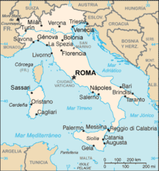
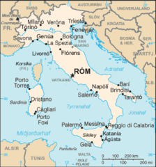
It Map
1142 x 709 - 127,052k - jpg
It Map 1
330 x 353 - 25,510k - png
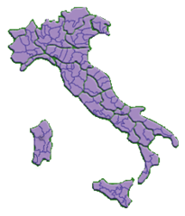
Italia Regioni Blank
1056 x 1330 - 29,923k - png
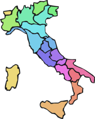
Italia Regioni Color
1056 x 1330 - 26,244k - png
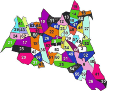
Italia Province 2
235 x 275 - 7,304k - png
Italianwineregions
1108 x 1097 - 83,777k - jpg