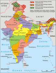
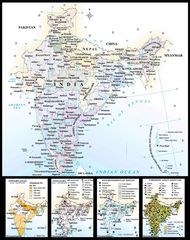
Political Map of India 1996
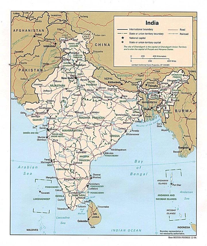
Click on the Political Map of India 1996 to view it full screen. File Type: gif, File size: 400448 bytes (391.06 KB), Map Dimensions: 720px x 855px (256 colors)
More Republic of India Static Maps
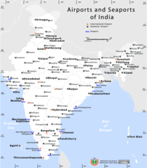
Airports And Seaports Map
1000 x 1138 - 71,764k - png
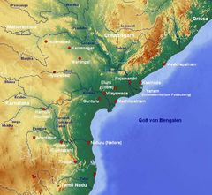
Andhra Pradesh Map
842 x 777 - 121,219k - jpg
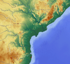
Andhra Pradesh Topographic
842 x 777 - 357,687k - png
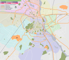
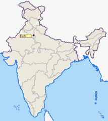
Delhi Area Locator Map
920 x 801 - 79,443k - png
Delhi Location Png
1165 x 1415 - 64,984k - PNG
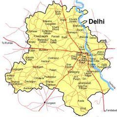
Delhi Map
428 x 429 - 33,844k - jpg
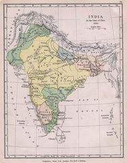
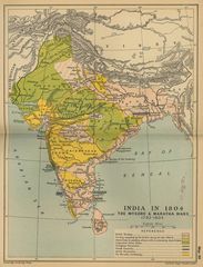
Historical Maps India In 1760
1154 x 1485 - 230,181k - jpg
Historical Maps India In 18
1736 x 2276 - 502,231k - jpg
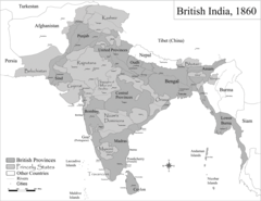
Historic Maps British India
1600 x 1235 - 191,527k - png
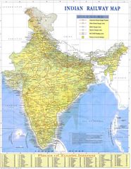
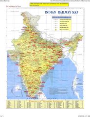
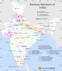
Indian Railways Map
1500 x 1935 - 488,116k - jpg
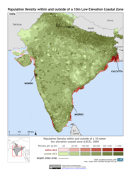
India 10m Lecz And Populati
1275 x 1650 - 334,105k - png
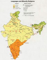
India Languages 1973
912 x 1162 - 138,922k - jpg
India Map
970 x 1166 - 207,913k - jpg
India Map Bbsr Direct Train Full
1718 x 2223 - 515,318k - jpg
India States By Rto Codes
2083 x 2371 - 234,548k - png
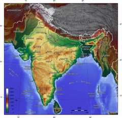
India Topographic
1200 x 1200 - 353,212k - png
India Topographic Map
1800 x 1736 - 374,346k - jpg
Indie 2006
1041 x 1360 - 88,907k - png
Ind Tou
480 x 480 - 37,675k - jpg
Location of Delhi Png
400 x 447 - 17,398k - PNG
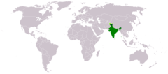
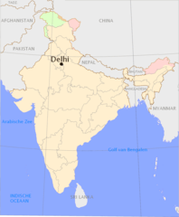
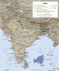
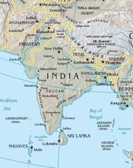
Location of India
1427 x 628 - 36,690k - png
Map of India
1800 x 2275 - 442,369k - jpg
Railway Network Map
1000 x 1138 - 92,091k - png
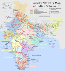
Railway Network Schematic M
2282 x 2500 - 457,683k - png
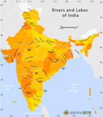
Rivers And Lakes Map of India
1000 x 1138 - 59,901k - png
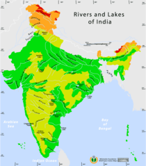
Rivers And Lakes Topo Map of India
1000 x 1138 - 62,861k - png
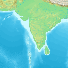
South Asia
425 x 533 - 47,288k - jpg
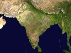
South Asia Satellite
1280 x 958 - 153,104k - jpg
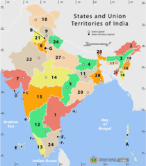
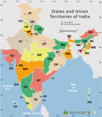
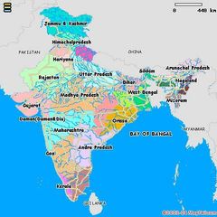
States And Union Territories of India Png
1000 x 1138 - 50,176k - PNG
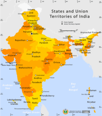
State And Union Territories Map
1000 x 1138 - 56,534k - png