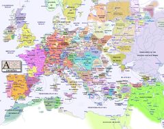
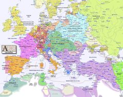
Europe Map 1900
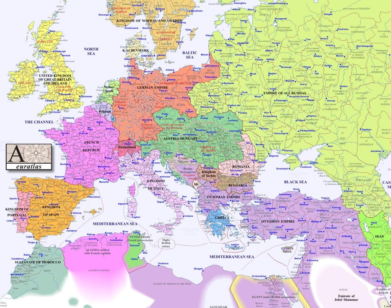
Click on the Europe Map 1900 to view it full screen. File Type: jpg, File size: 235457 bytes (229.94 KB), Map Dimensions: 1280px x 1009px (16777216 colors)
More Republic of France Static Maps
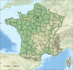
Departements of France
624 x 600 - 126,478k - png
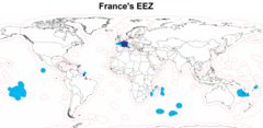
Eez France
2410 x 1178 - 80,688k - png
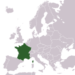
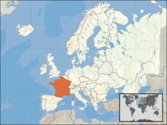
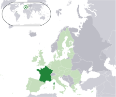
Europe Location France
1245 x 1245 - 28,336k - png
Europe Location of France
1600 x 1200 - 170,837k - png
Europe Map 1000
1280 x 1009 - 188,744k - jpg
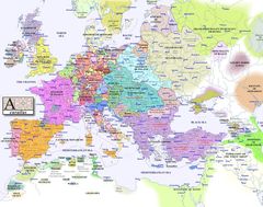
Europe Map 1100
1280 x 1009 - 198,190k - jpg
Europe Map 1200
1280 x 1009 - 204,009k - jpg
Europe Map 1300
1280 x 1009 - 216,494k - jpg
Europe Map 1400
1280 x 1009 - 212,898k - jpg
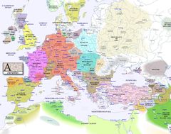
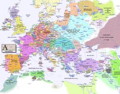
Europe Map 1500
1280 x 1009 - 232,397k - jpg
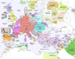
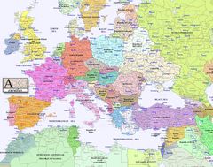
Europe Map 1600
1280 x 1009 - 220,718k - jpg
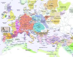
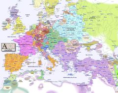
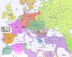
Europe Map 1700
1280 x 1009 - 227,429k - jpg
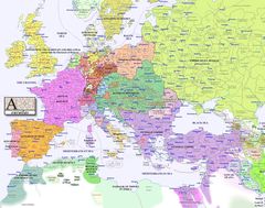
Europe Map 1800
1280 x 1009 - 230,310k - jpg
Europe Map 1900
1280 x 1009 - 235,457k - jpg
Europe Map 2000
1280 x 1009 - 258,037k - jpg
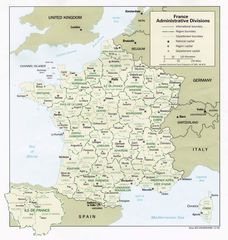
France Admin
1058 x 1114 - 171,549k - jpg
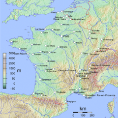
France Cities
950 x 949 - 545,492k - png
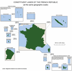
France Constituent Lands
3337 x 3300 - 127,917k - png
France Map Jpg
996 x 1056 - 255,600k - JPG
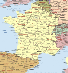
France Political Map
912 x 980 - 73,265k - gif
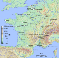
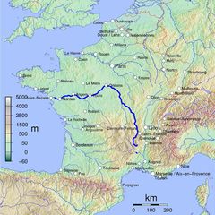
France Shaded Relief Gif
996 x 1056 - 308,210k - GIF
France Sites Unesco
950 x 948 - 541,768k - png
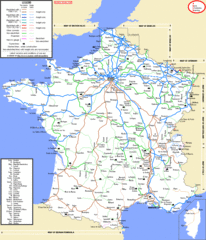
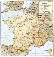
French Network
1160 x 1349 - 95,761k - gif
Location France Eu Europe
2056 x 1710 - 130,698k - png
Map Europe
1120 x 1444 - 216,596k - jpg
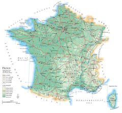
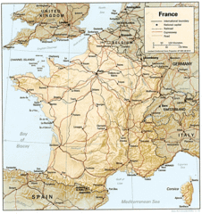
Map France
2218 x 2054 - 387,409k - jpg
Map France Departments
1101 x 1221 - 223,106k - jpg
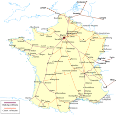
Map France Railroads
951 x 949 - 67,121k - gif
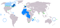
Map Francophone World Png
1357 x 631 - 17,957k - PNG
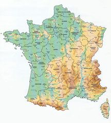
Map of France
1797 x 1796 - 488,511k - jpg